


|
|
|
|
|
|
| Steve, Katherine, and Norah | profile | all galleries >> Galleries >> Death Valley National Park Thanksgiving 2021 | tree view | thumbnails | slideshow |
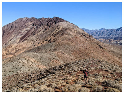
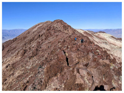
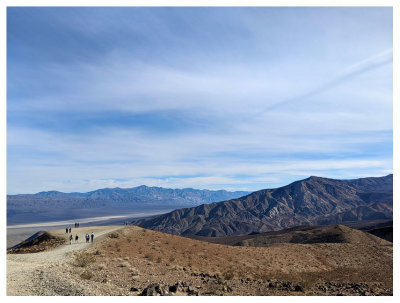
 Where we are heading - Mt. Perry |
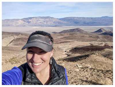
 Steve and Mt. Perry |
 Mt. Perry Summit |
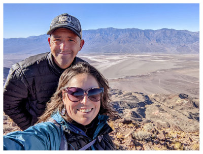 Mt. Perry Summit |
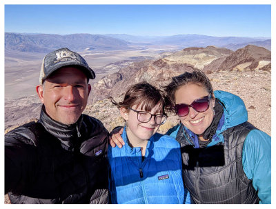 Mt. Perry Summit |
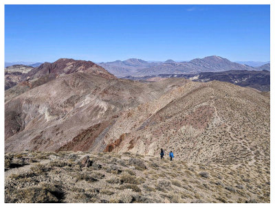
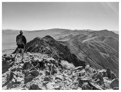 Dante's Ridge |
 Hiking down the rocks |
 Mt. Perry |
 Mt. Perry |
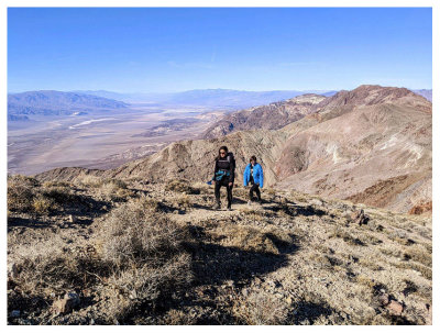 Mt. Perry |
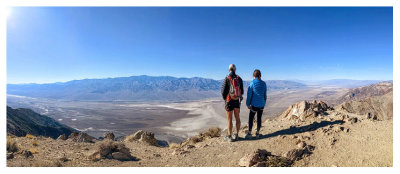 View of Badwater Basin |
 Those are the dunes?!? |
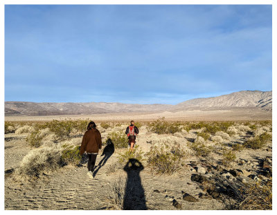
 They still feel far away |
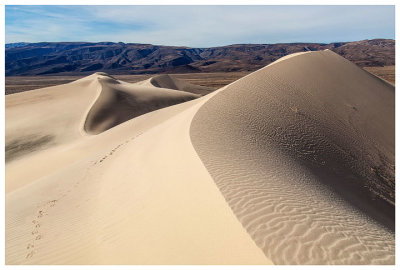
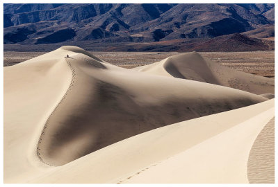
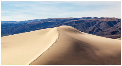
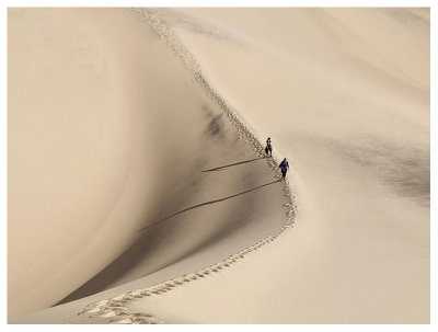
 Lots of neat tracks |
 Finally made it to the dunes |
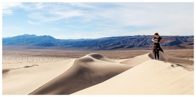
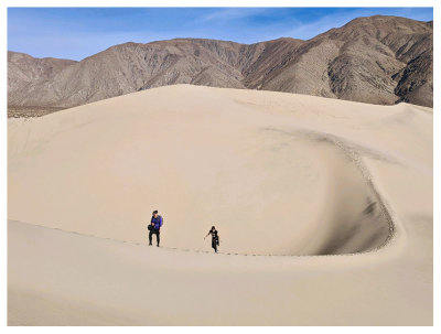
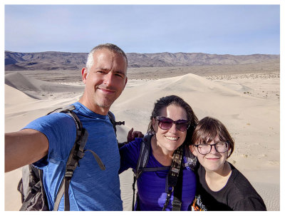
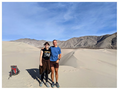 Steve and Norah at Panamint Dunes |
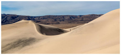
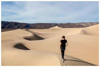 Panamint Dunes |
 Panamint Dunes |
 Panamint Dunes |
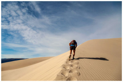 Hard work slogging through the sand |
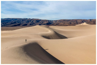
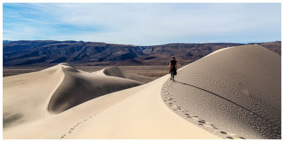
 Steve looking tiny |
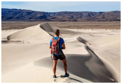
 Panamint Dunes |
 Panamint Dunes |
 Panamint Dunes |
 Panamint Dunes |
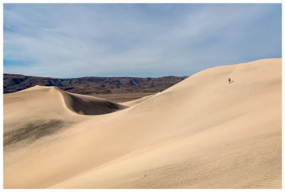
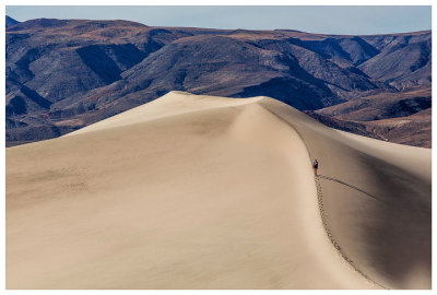
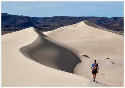
 Steve in the distance taking a break on top |
 Panamint Dunes |
 Panamint Dunes |
 Panamint Dunes |
 Panamint Dunes |
 Panamint Dunes |
 Panamint Dunes |
 Panamint Dunes |
 Panamint Dunes |
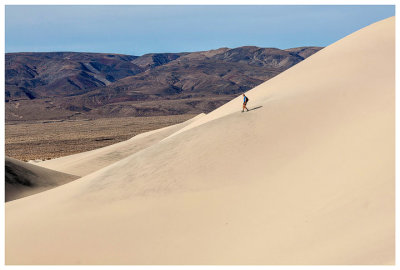
 So much easier going down |
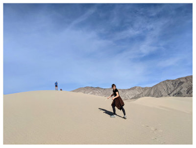
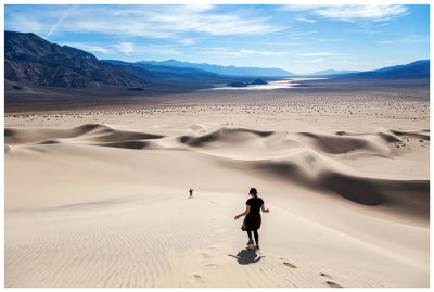
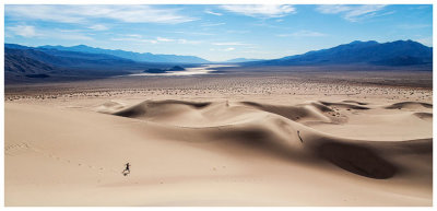 Norah on the run with views of Panamint Valley |
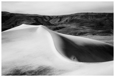
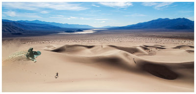 For fun - the sandworm version of this picture |
 Panamint Dunes |
 Panamint Dunes |
 Father Crowley Vista Point |
 Father Crowley Vista Point |
 Father Crowley Vista Point |
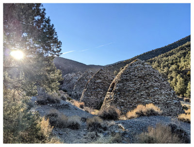
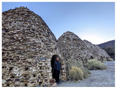 Wildrose Charcoal Kilns |
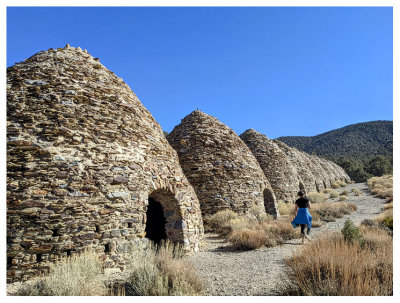
 Wildrose Charcoal Kilns |
 Wildrose Charcoal Kilns |
 Hiking up Wildrose |
 At the top of Wildrose |
 View to the Sierras in the distance |
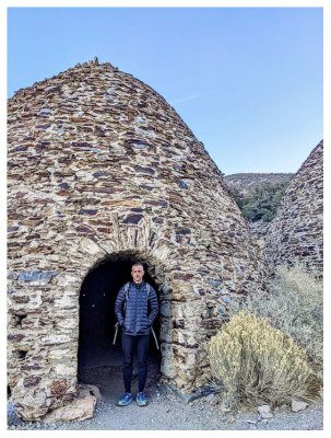
 Wildrose Charcoal Kilns |
| comment | share |