


|
|
|
|
|
|
| Steve, Katherine, and Norah | profile | all galleries >> Sierra Nevada Backpack July 2020: Sequoia and Kings Canyon National Parks >> Day 6: Elizabeth Pass to Buck Canyon | tree view | thumbnails | slideshow |
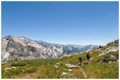
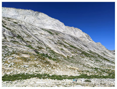 Heading to Elizabeth Pass |
 Alpine shooting star |
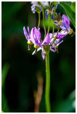
 Columbine |
 A look back |
 |
 A view from the Pass (Steve was there well before we were) |
 |
 |
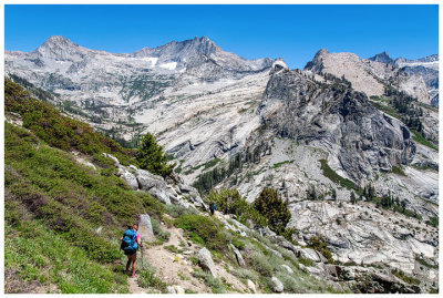
 Final climb |
 We made it! |
 Elizabeth Pass |
 Elizabeth Pass |
 Elizabeth Pass |
 Elizabeth Pass |
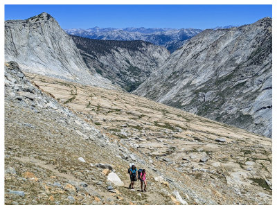
 Starting our descent down Elizabeth Pass |
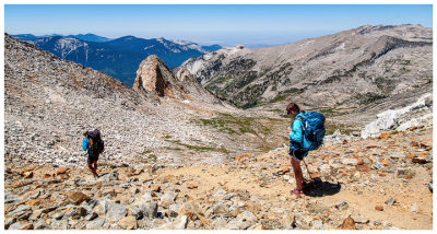
 Looking back up at the pass |
 |
 |
 |
 |
 |
 |
 |
 |
 |
 |
 |
 |
 |
 |
 |
| comment | share |