


|
|
|
|
|
|
| Steve, Katherine, and Norah | profile | all galleries >> Sierra Nevada Backpack July 2020: Sequoia and Kings Canyon National Parks >> Day 3: Off trail over Pants Pass | tree view | thumbnails | slideshow |
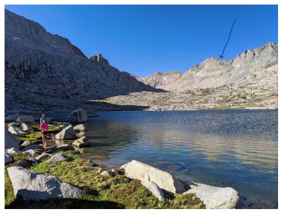 Where we were heading |
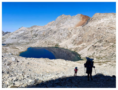
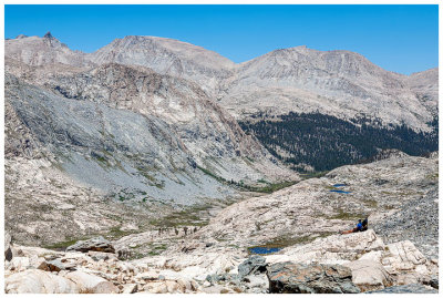
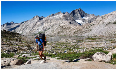 Nine Lake Basin |
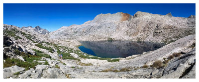 Nine Lake Basin |
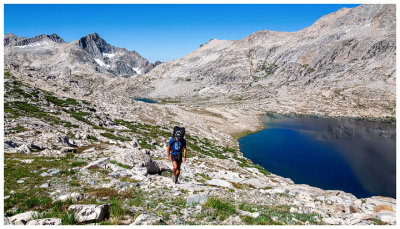 Nine Lake Basin |
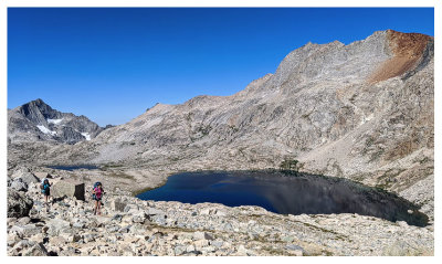 Nine Lake Basin |
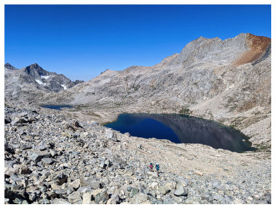 Nine Lake Basin |
 |
 |
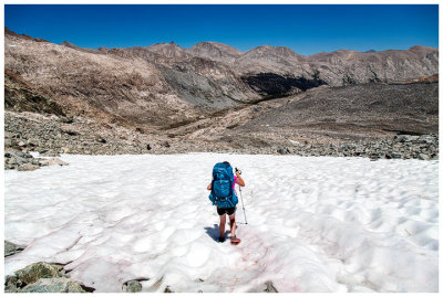
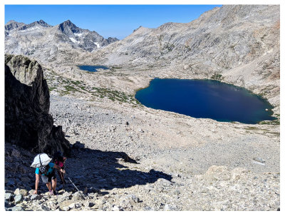 Rock treadmill |
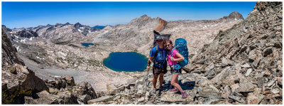
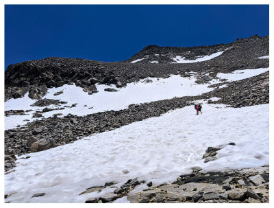
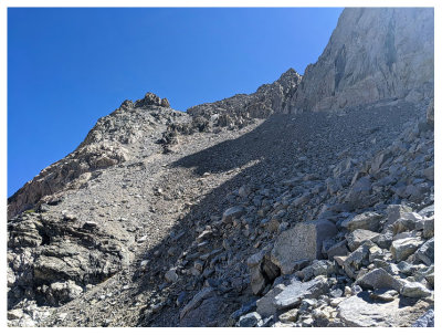 A look up at the final ascent |
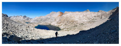
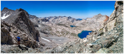
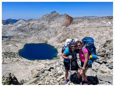
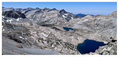 Nine Lake Basin from Pants Pass |
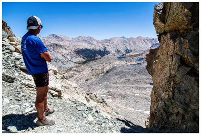
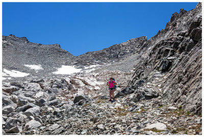
 Pants Pass |
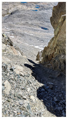 The chute down the other side |
 Pants Pass |
 Looking down the other side |
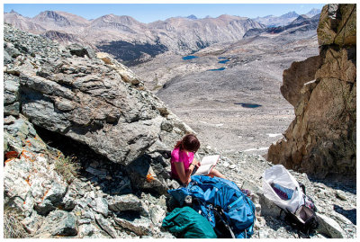 Norah breaking out her book to read on Pants Pass |
 Pants Pass |
 Pants Pass |
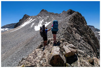 Short ridge walk to our descent |
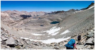 The beginning of our loooong descent |
 |
 |
 A look back to our descent |
 |
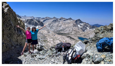
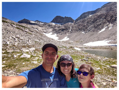 Success! |
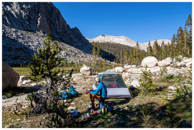 Our meadow campsite. Unofficially named Mosquito Meadow. |
| comment | share |