


|
|
|
|
|
|
| Steve, Katherine, and Norah | profile | all galleries >> Clear Creek Backpack March/April 2022 >> Day 3: Dayhike to Cheyava Falls | tree view | thumbnails | slideshow |
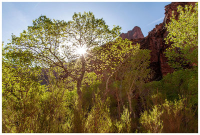 Backlit trees |
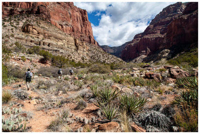
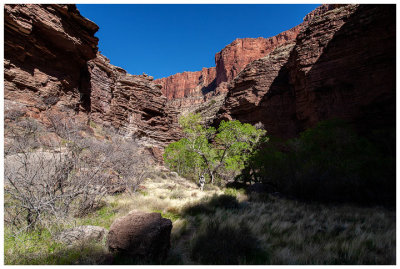
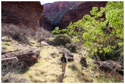 A nice, wide open grassy area after we stayed to the right |
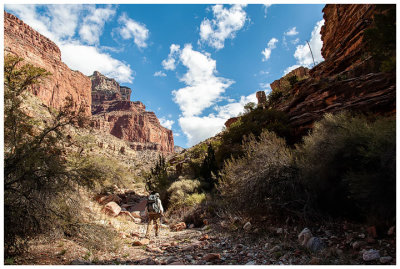
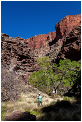
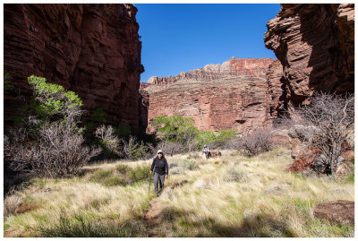 Sumi in Clear Creek Canyon |
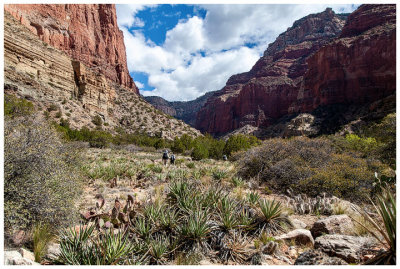
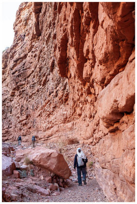 A narrower part of the canyon |
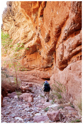
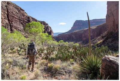
 Alex in Clear Creek Canyon |
 Beautiful desert flora |
 Lots of yucca - I think we all got stabbed at least once! |
 Womp, womp. A dry Cheyava Falls |
 Consolation Falls on the adjacent cliff face |
 Consolation Falls |
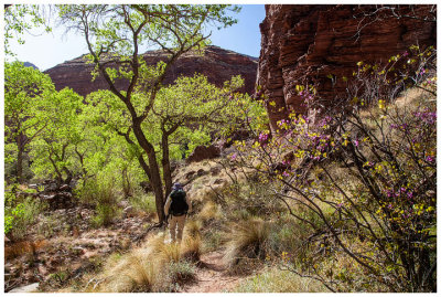
 Heading back down canyon |
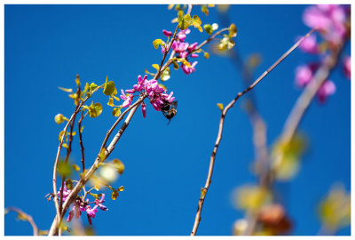 Loved all the redbuds! |
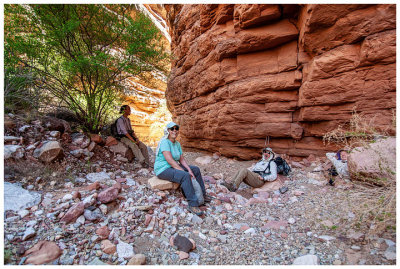 Pretty spot for a break |
 Back through the grass |
 Heading down canyon |
 Another red bud |
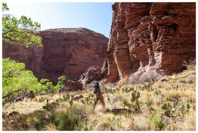 Cacti obstacle course |
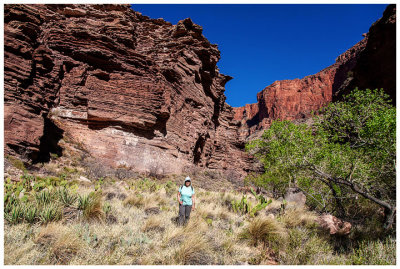 Sumi in Clear Creek Canyon |
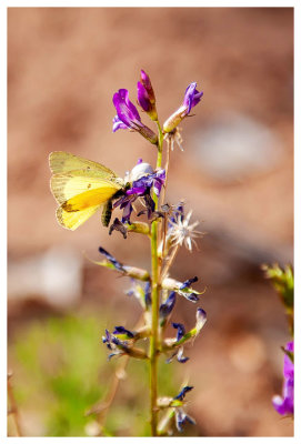 Orange sulphur on penstemon |
 Another Utah agave with a fresh stalk |
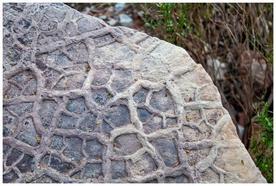 Mud crack rock |
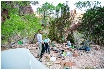 Clear Creek campsite |
| comment | share |