


|
|
|
|
|
|
| Steve, Katherine, and Norah | profile | all galleries >> California October 2024: The Lost Coast and the Humboldt Redwoods >> The Lost Coast | tree view | thumbnails | slideshow |
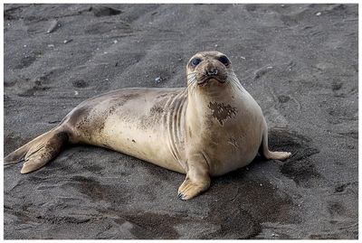
:: Day 1: Mattole Beach to Sea Lion Gulch, 4.5 miles :: |
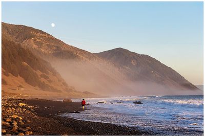
:: Lost Coast Day 2: Sea Lion Gulch to Spanish Flat, 6 miles :: |
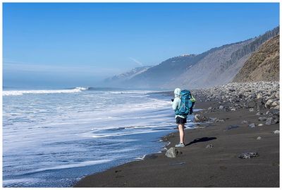
:: Lost Coast Days 3 and 4: Spanish Flat to Horse Mountain Creek to Black Sands Beach, 13 miles and 2 miles :: |
| comment | share |