photo sharing and upload picture albums photo forums search pictures popular photos photography help login
Phil | profile | all galleries >> Galleries >> Elevated Photography tree view | thumbnails | slideshow | map

Elevated Photography

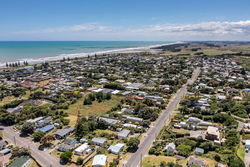
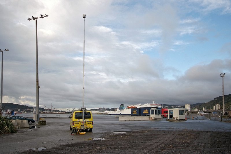
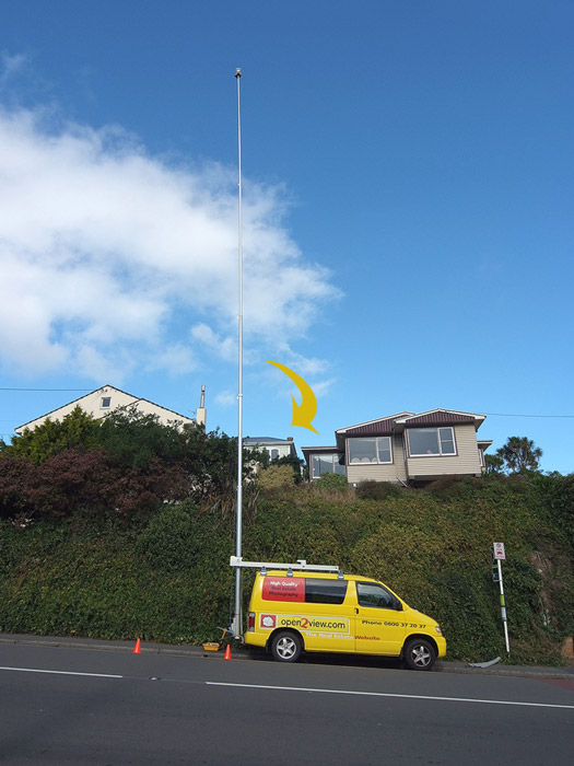
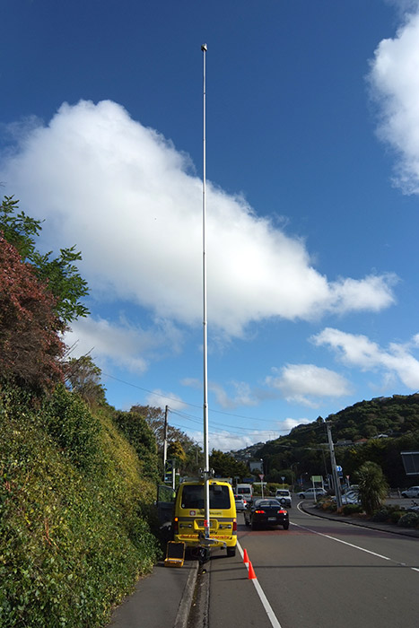
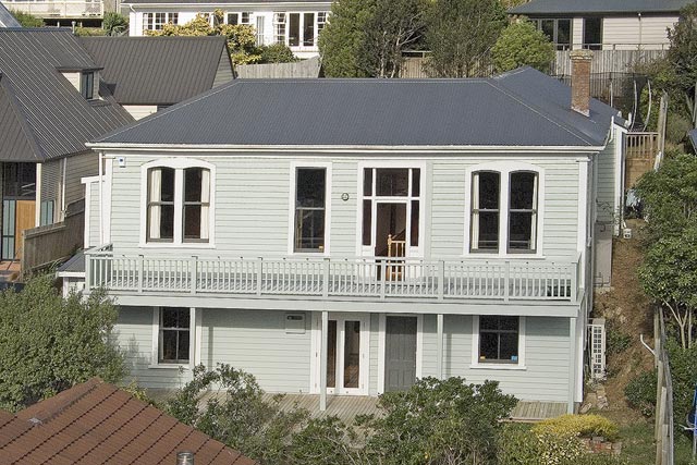
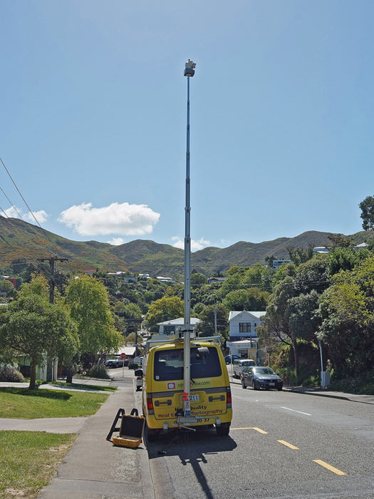
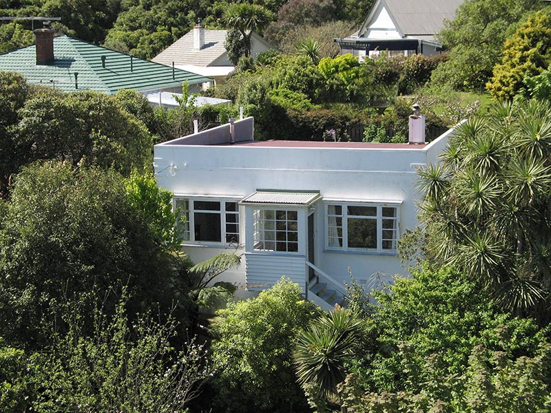
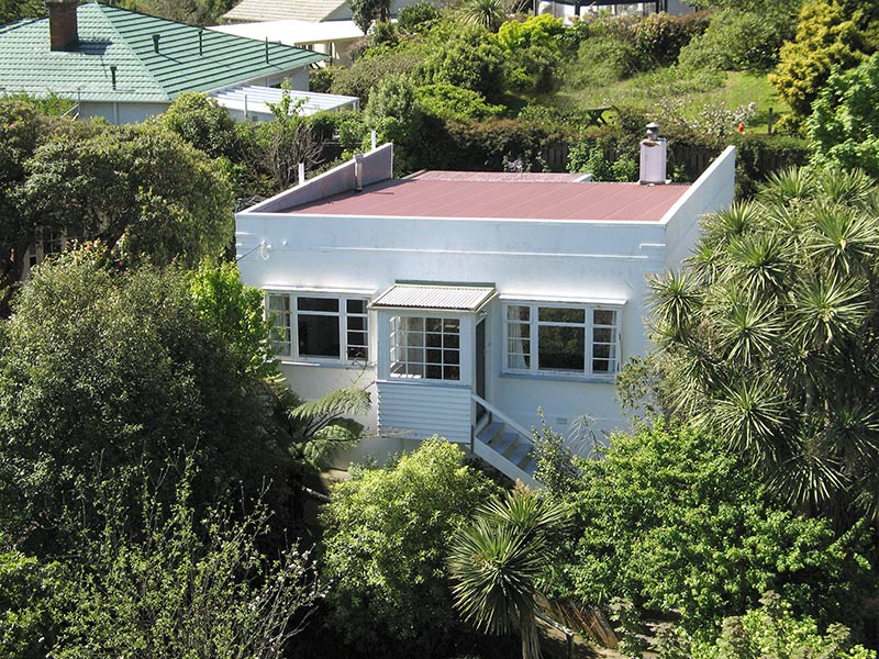
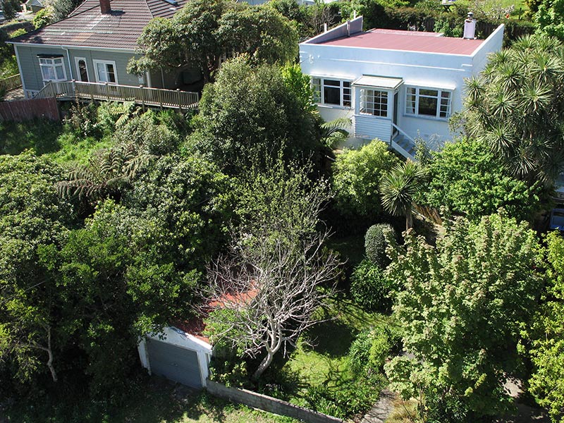
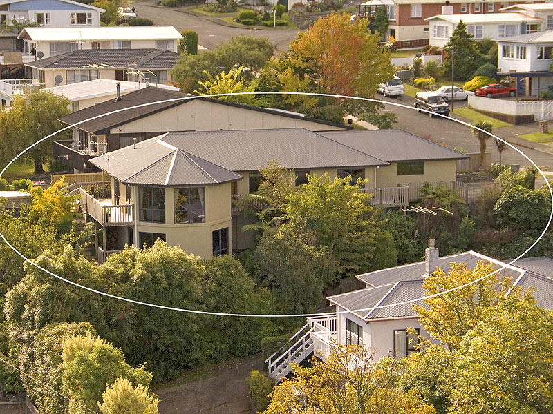
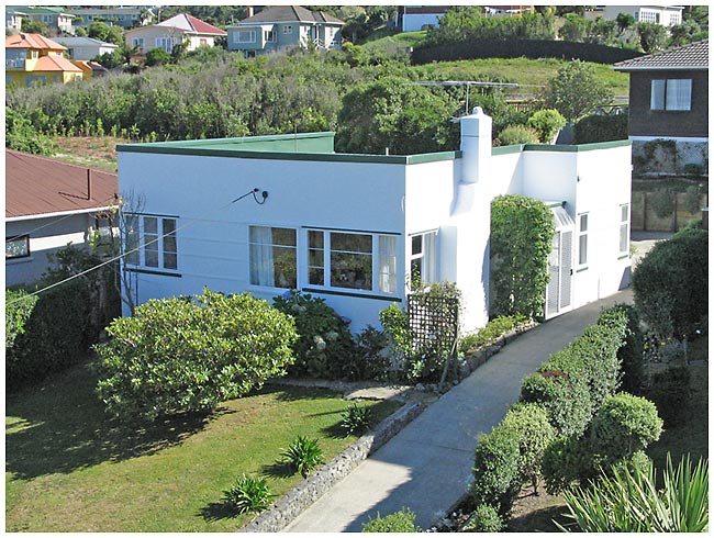
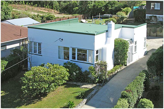
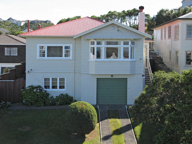
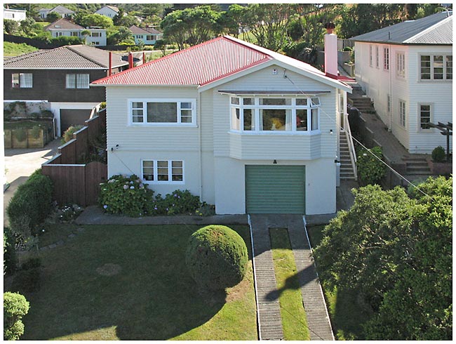
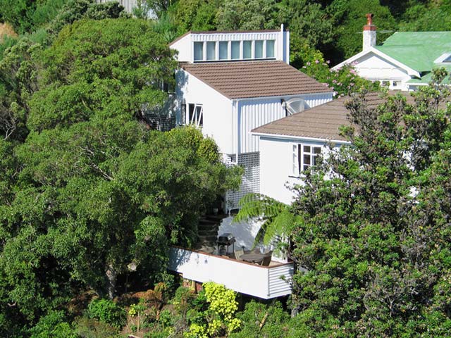
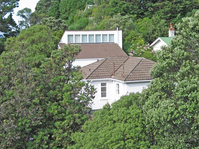
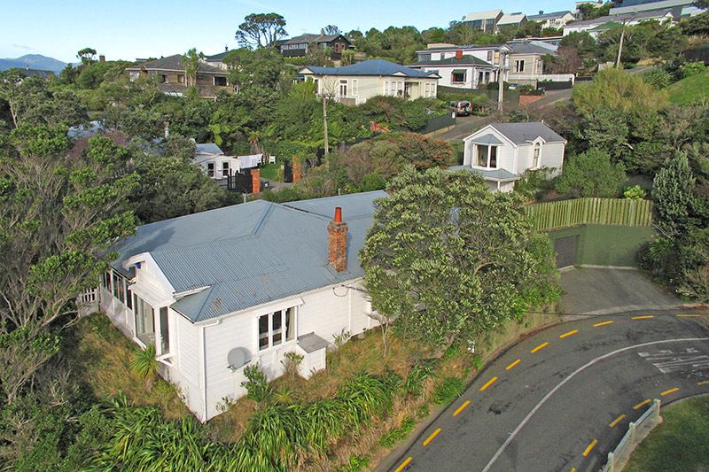
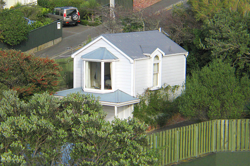
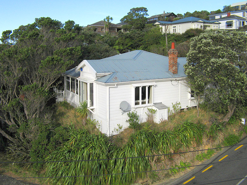
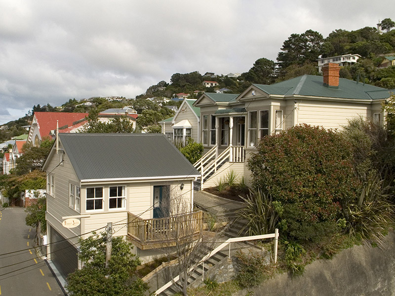
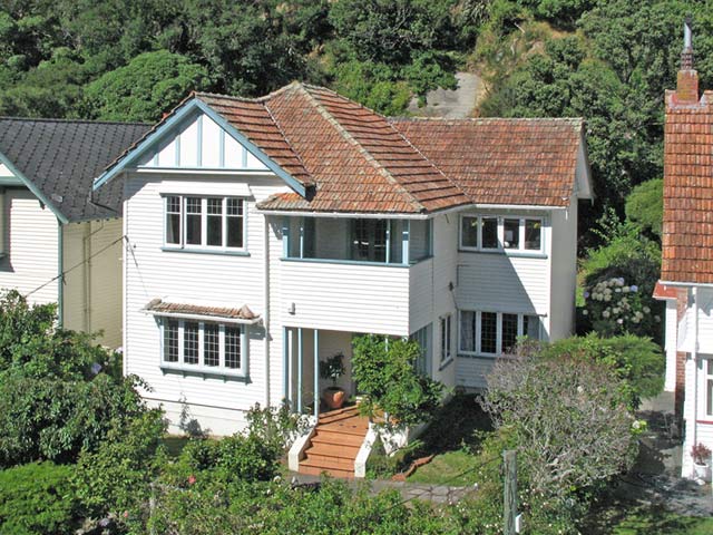
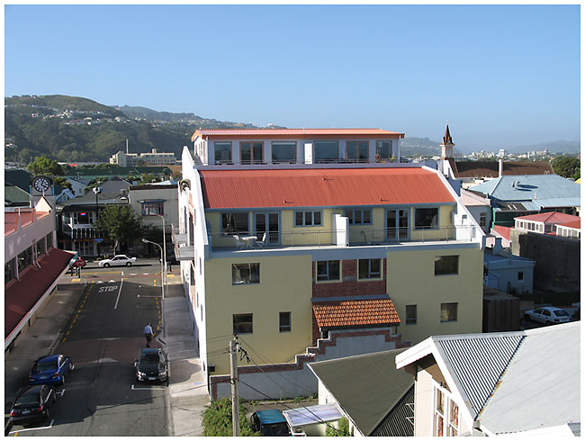
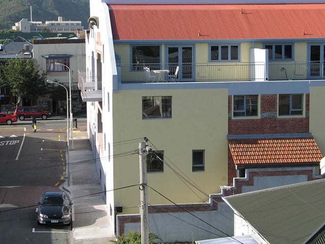
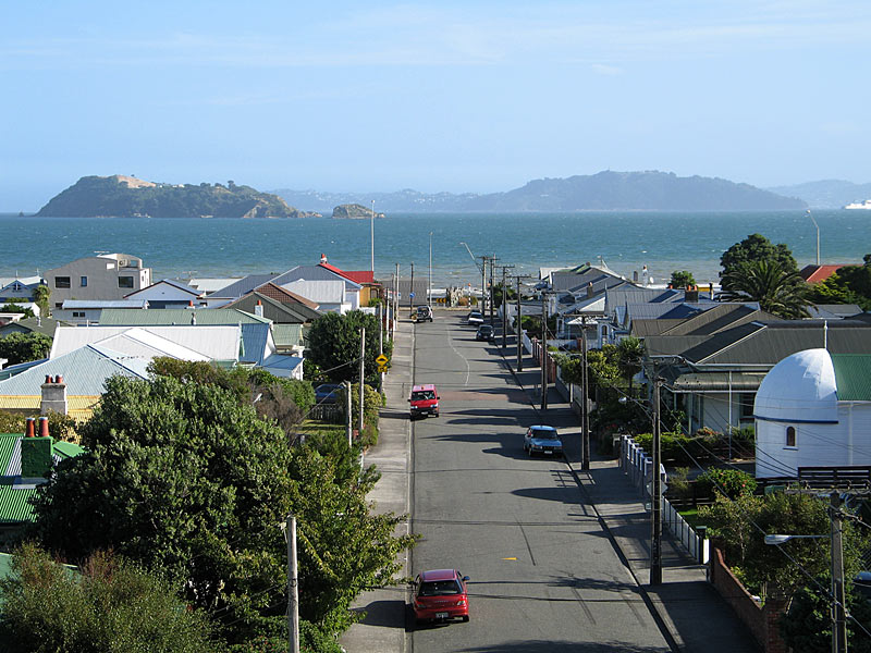
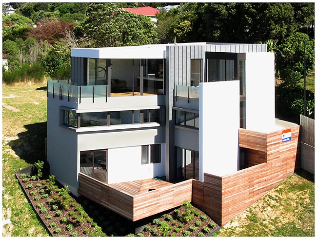
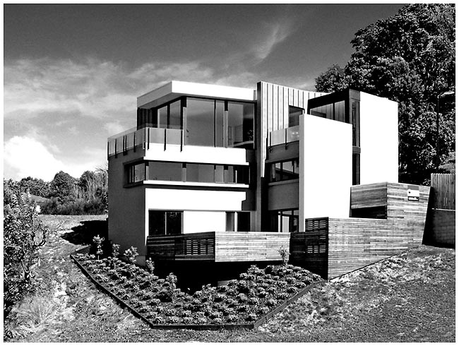
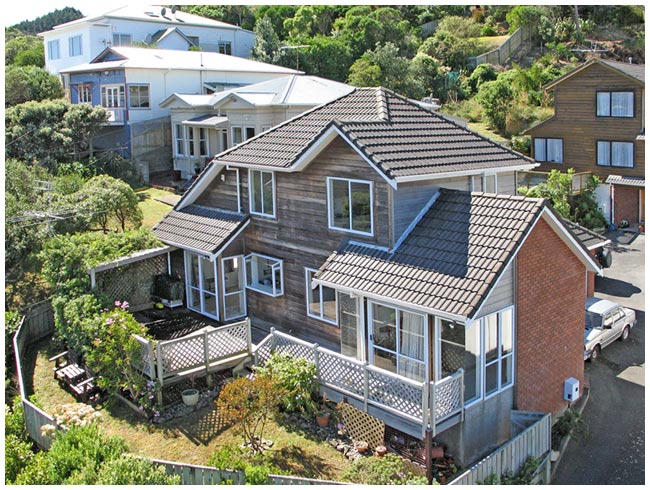
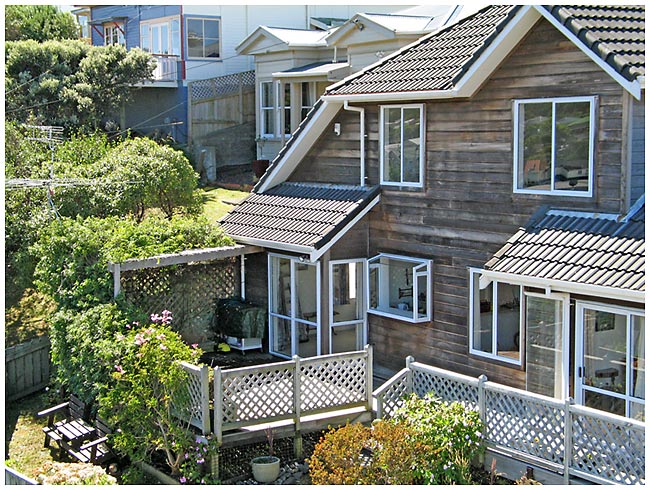
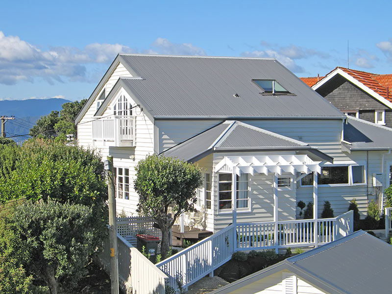
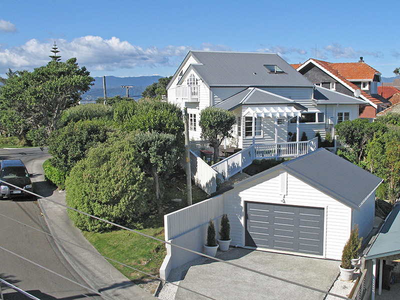
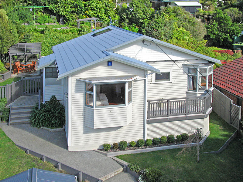
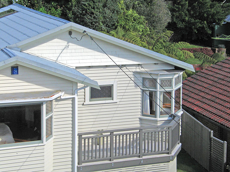
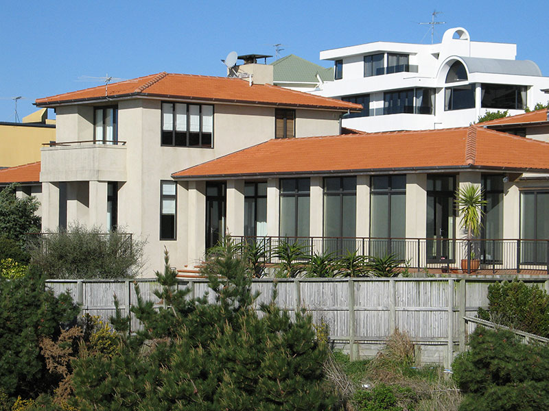
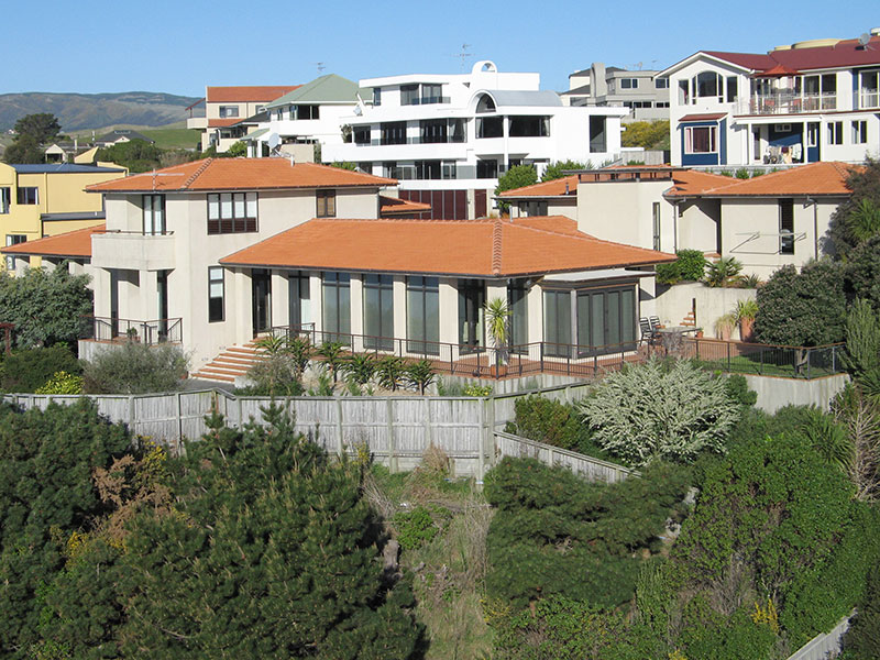
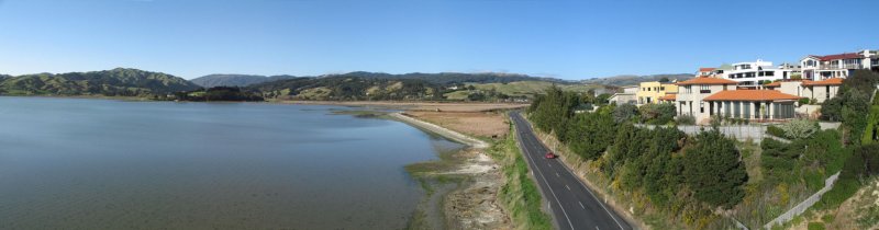
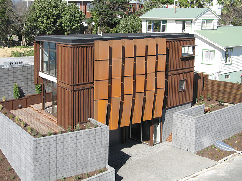
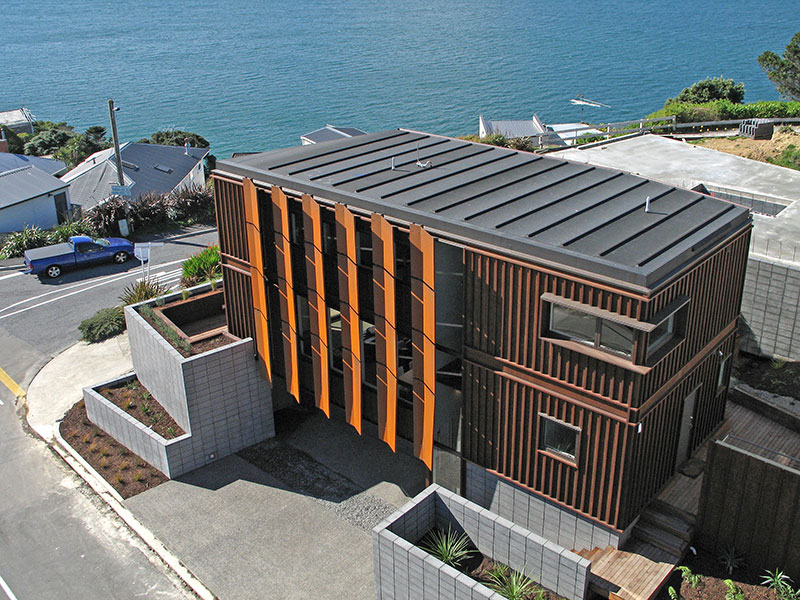
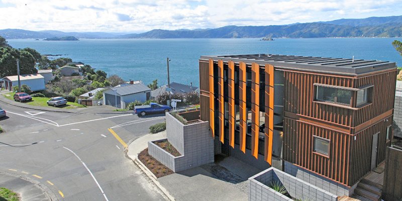
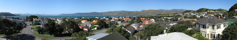
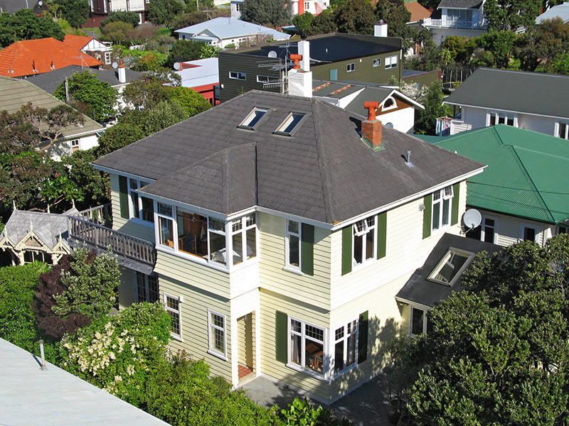
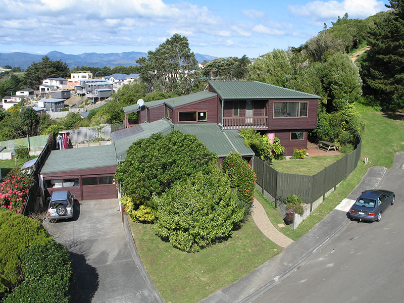
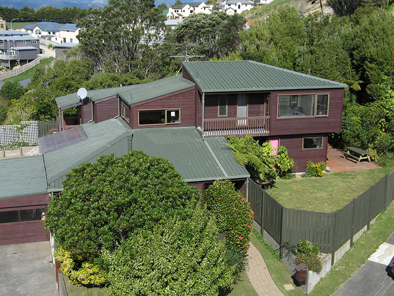
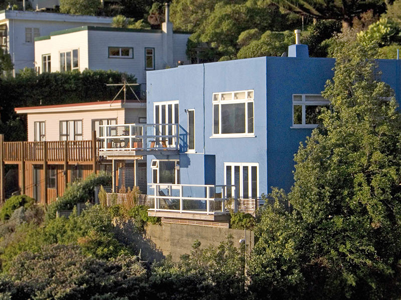
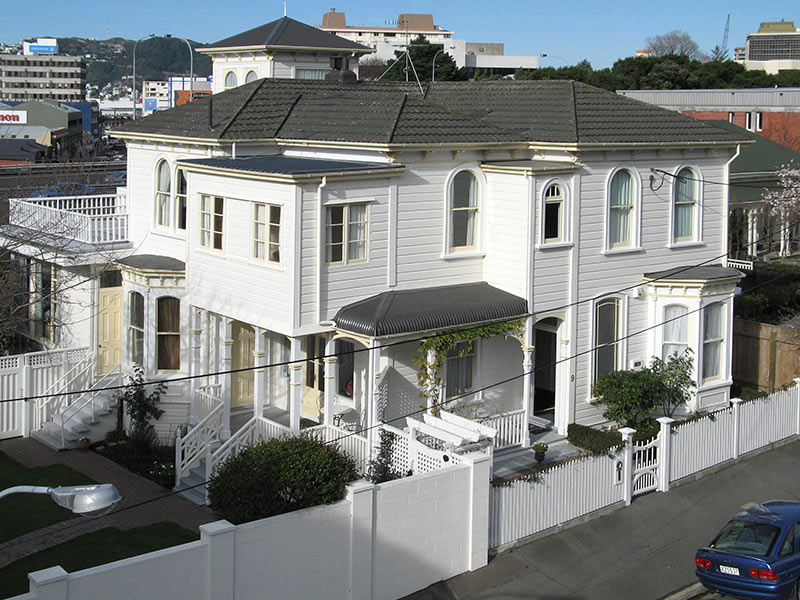
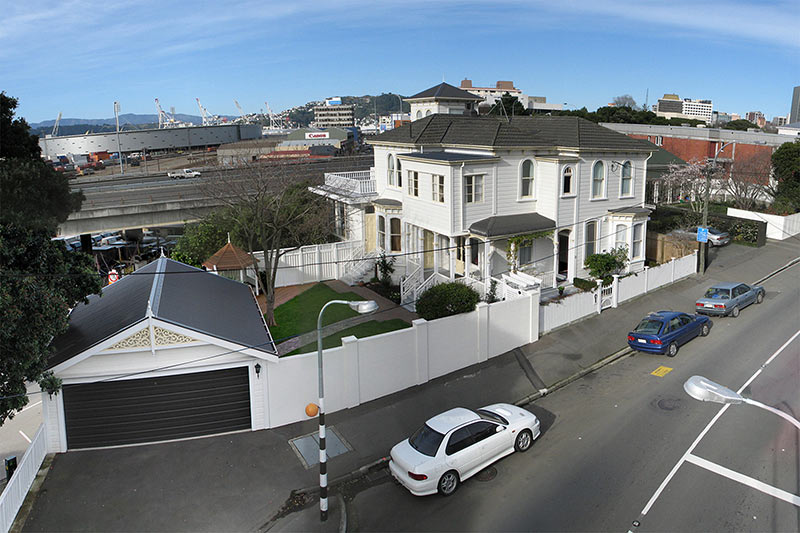
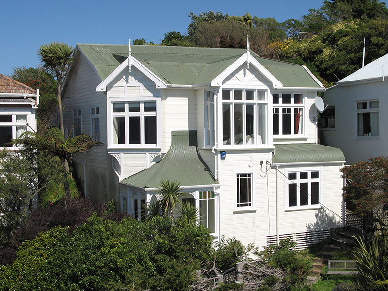
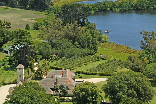
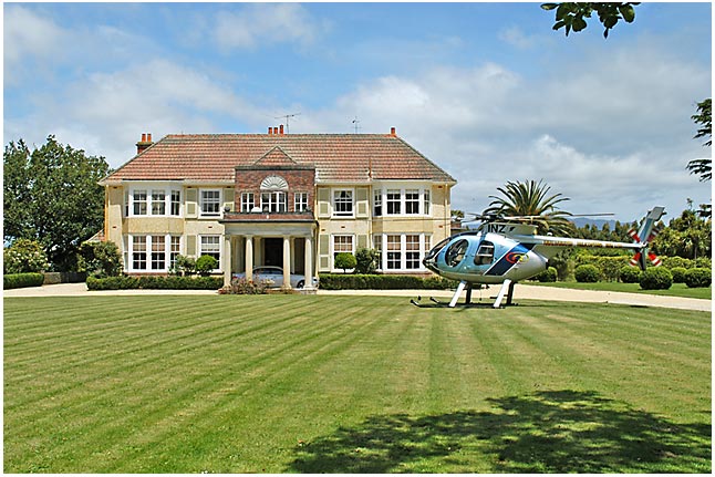
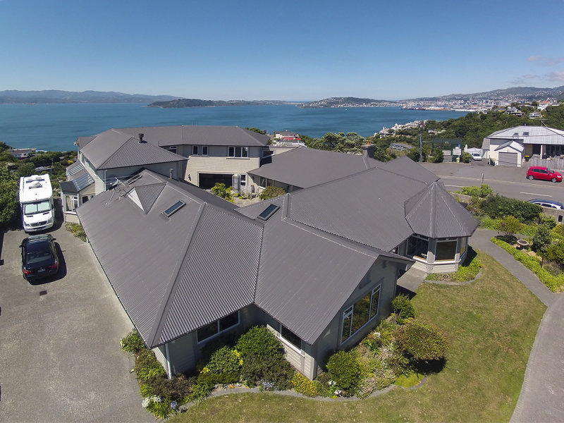
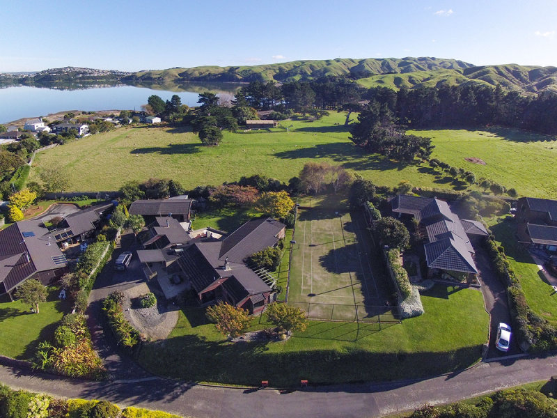
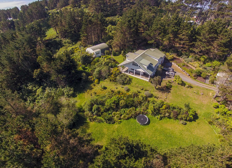
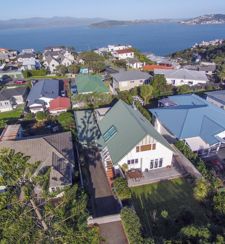
Various "pole" shots taken from various heights for various properties. These are just
a sample of some of the pole shots taken.

The camera can take photos at any height from about 5m (15ft) to 20m(60ft).

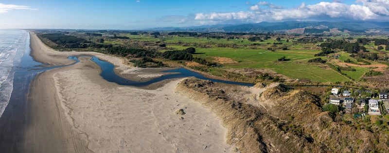
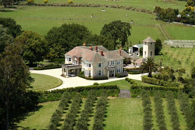
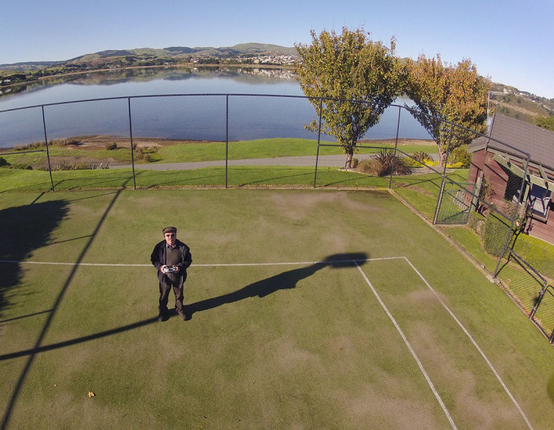
These have all been on www.open2view.com

The Pole has been replaced by a UAV - a hexacopter carrying a gopro

Since the hexicopter way back in the past, I have used a DJI Phantom 3 Pro and now for the last two years have been using a Mavic 2 Pro. The Mavic sure has a great lens and I use it almost every day.

I have a "wings" licence from Massey University and certified 102 from FlyUav
previous pagepages 1 2 ALL next page
Pano of Waitohu stream mouth to farmlands of north Otaki to Horowhenua Ferry Terminal Pano from the pole Ferry Terminal
Ottawa Rd Ottawa Rd Ottawa Rd Colway St
Colway St Colway St Colway St Sunnyview Rd, Upper Hutt
Sunnyview Rd, Upper Hutt Benares St Benares St Benares St
Benares St (II) Ponsonby Rd Ponsonby Rd Weld St
Weld St Weld St Ohiro Rd Glen Rd
Petone Apartments Petone Apartment towards Petone foreshore Salmond Rd
Salmond Rd Clyde Rd Clyde Rd Ranui St
Ranui St Kano St Kano St The Masthead
The Masthead 5 images stitched Nevay Rd Nevay Rd
3 images stitched for Nevay Rd 5 images stitched for Falkirk St Falkirk St JohnSims Rd
JohnSims Rd Ohariu Valley Section Ohariu Valley Shelley Bay
Tinakori Rd Tinakori Rd - 4 image stitch Clifton Tce Connaught st
Rototawai Estate Rotorawai Estate Higher then the pole could go Using the Go-Pro
the gopro catches me working what the gopro took Horokiwi Gopro in Khandallah
Waikawa Beach Pano of three drone images at Waikawa Beach Mouth North End Otaki Beach Otaki Racecourse
previous pagepages 1 2 ALL next page