photo sharing and upload picture albums photo forums search pictures popular photos photography help login
Peter Chan | profile | all galleries >> Galleries >> Hiking Log: Lantau Peak (東涌 - 昂平 - 鳳凰山 - 伯公坳 - 梅窩) tree view | thumbnails | slideshow

Hiking Log: Lantau Peak (東涌 - 昂平 - 鳳凰山 - 伯公坳 - 梅窩)

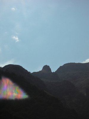
I walked alone again this time since all friends were busy. Coincidentally I witnessed the
recovery of the body of someone who hiked alone a week ago and was lost, and eventually found
dead.

However hard I try to invite partners, sometimes I have to go by myself. Frankly that doesn't
feel particularly bad but risks undoubtly exist. There are occasional news of thieves, people
lost, injuries, and even dead.

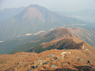
Before there are perfect solutions, I try to send regular SMS "beacon" to my family and friends
of my location (I hike with a GPS) and try to follow main paths as much as possible.

Just hope my friends won't mind my nussiance on those weekends :)
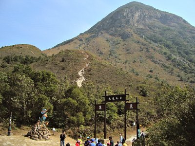
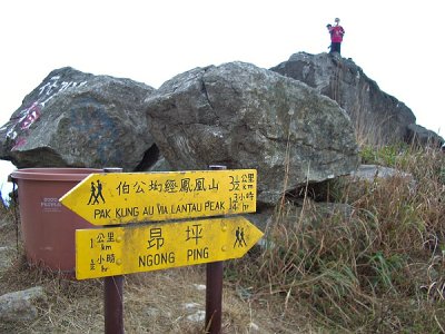
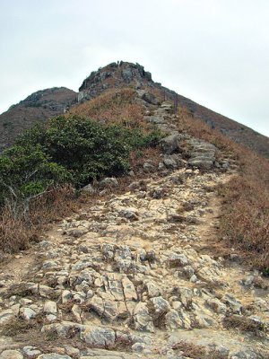
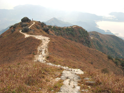
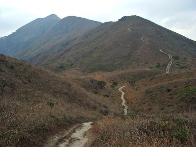
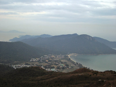
Profile of the trip: Lantau Peak (936m) is the second highest in the territory (鳳凰山是香港境內第二高山) A new built short-cut to Ngong Ping (路上遇見的和尚說, 這是登昂平的捷徑) Lo Hon Rock pictured from Tei Tong Tsai (在地塘仔仰望羅漢塔) Entrance to Ngong Ping (昂平入口的牌坊)
The other side (牌坊的另一面) The road to Buddha (佛之道) An operation to recover the body of a lost hiker (在倒腕崖底尋獲一名失蹤行山人士) Entry point of Phoenix Trail that goes to the top of Lantau Peak (鳳凰徑往鳳凰山段入口)
The Wisdom Path (心經簡林) The Wisdom Path (心經簡林) The Wisdom Path from another angle (從另一角度看心經簡林) Nei Lak Shan (彌勒山)
Kwun Yam Shan and Keung Shan (觀音山及羌山) Approaching the top (山頂在望) g6/60/37160/3/74184680.W7LKfaXd.jpg Behind the rocks is the famous Kau Nga Ling (大石後是有名的狗牙嶺)
g6/60/37160/3/74184682.7BzPplMc.jpg g6/60/37160/3/74184683.4ynEJqC3.jpg g6/60/37160/3/74184684.QDCZOXE0.jpg g6/60/37160/3/74184685.WX4q2X0D.jpg
Kau Nga Ling - in Chinese means dog teeth (狗牙嶺有如一排尖利的牙齒) g6/60/37160/3/74184687.3mXKntbE.jpg After all the exhausting hike, it's too tempting for a self-photo at the top (自拍於鳳凰山頂) g6/60/37160/3/74184690.OVnAogDw.jpg
Even with a litter bit haze, the scene there is excellent (雖然有少煙霞, 但山上風景依然動人) A temporary refuge for people who come here for sunrise g6/60/37160/3/74184692.7jHzO4IS.jpg The way down - to Pak Kung Au (下山的路 - 往伯公坳)
A valley near distance post L027 (在標距柱 L027 附近一個深谷, 未知是否南天門) Sunset Peak (大東山) g6/60/37160/3/74184696.vqZzCH5U.jpg g6/60/37160/3/74184697.z3qDQBPx.jpg
Cheung Sha Beach (partial) (長沙海灘 (部份)) g6/60/37160/3/74184699.sLUYSnQ5.jpg Pui O Beach in the dusk (暮色中的貝澳海灘) Finally arrived at the main road at Nam Shan (終於抵達南山附近的南大嶼公路)
A big meal of course! (善待自己 - 來個豐富晚餐!)