


|
|
|
|
|
|
| Pete FourWinds | profile | all galleries >> Locations, Landscapes, and Skies - contains subgalleries. >> Gettysburg Battlefield, October 25, 2010. | tree view | thumbnails | slideshow |
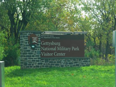 Welcome to Gettysburg National Military Park. |
 |
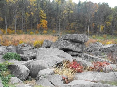
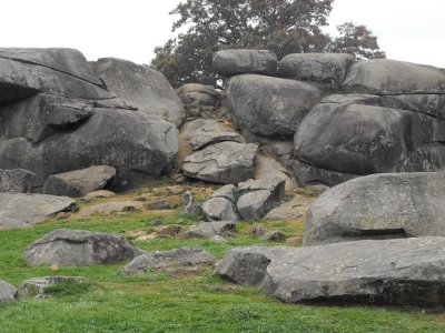 Devil's Den, a large rocky outcrop that was a site of major importance on Day 2 of the Battle of Gettysburg. |
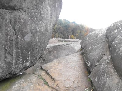
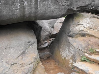 Near the top of the path to reach the top of Devil's Den, which is about 30 or so feet above the road. |
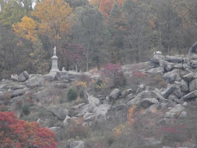
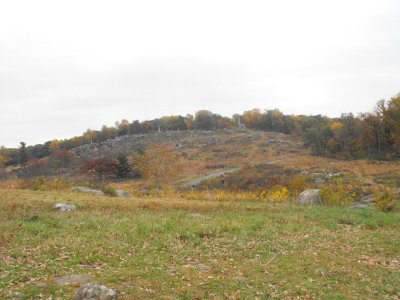 Little Round Top as seen from the hill just beyond the top of Devil's Den. This view is roughly east. |
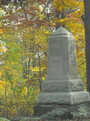
 A monument above and slightly north of Devil's Den. |
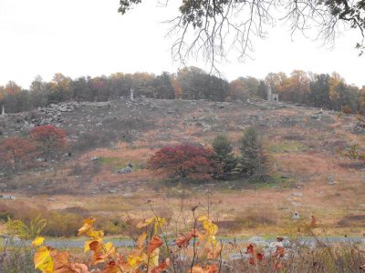 Another view of Little Round Top. |
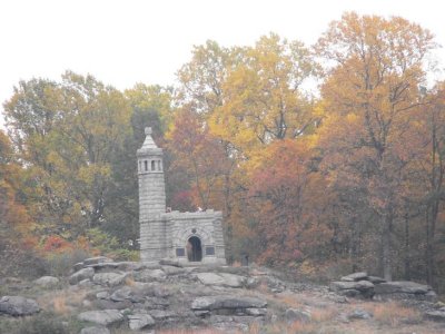
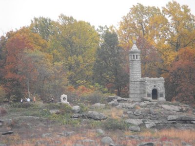 A small "chapel" (for lack of a better term) atop Little Round Top. |
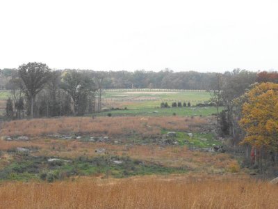 Farmland, facing west from the top of Devil's Den. |
 Little Round Top. |
 Little Round Top. |
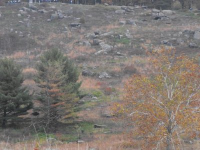 The terrain of Little Round Top. |
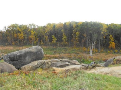
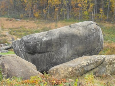
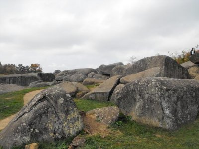
 The "Slaughter Pen" just south of Little Round Top. So named for the sheer number of Confederate soldiers killed here. |
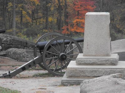 The cannon of the 4th New York Independent Battery. |
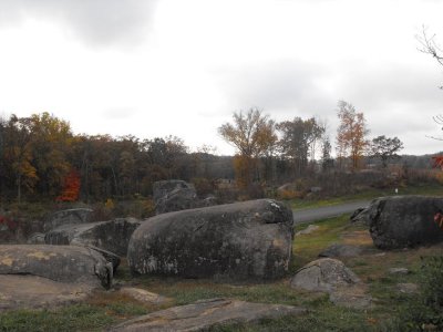
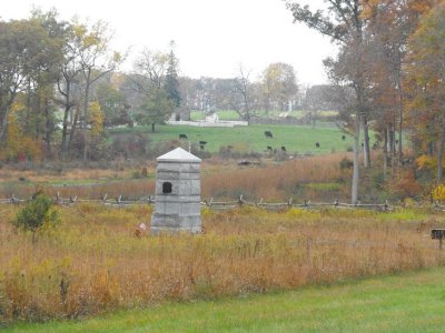
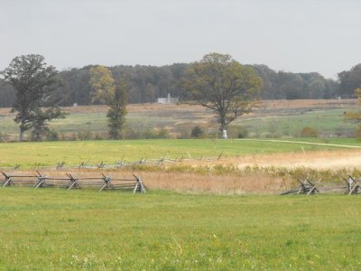
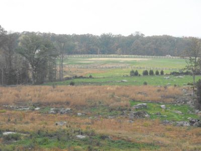 Another view of the farmland, just to get a sense of the scope of this battle. |
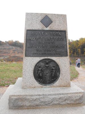 |
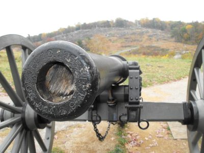 The 4th New York's cannon. |
 The Slaughter Pen. My van, lower right, just seems sacrilegious. |
 |
 |
 |
 |
 |
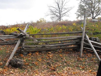 |
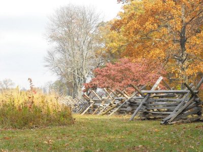
 Some of the park is still actively farmed. |
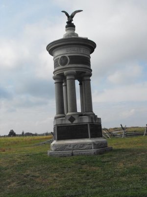
 13th Massachusetts Volunteers. |
 |
 |
 |
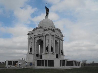 Pennsylvania's monument to its fighting men. By far the largest of the over 1600 monuments in the 6000 acre park. |
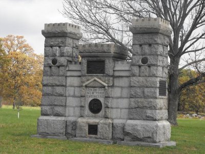 15th and 50th New York Engineers. |
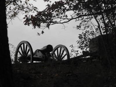 A lone cannon stands silent vigil atop Little Round Top. Beyond it is Devil's Den. |
| comment | share |