


|
|
|
|
|
|
| paure1 | profile | all galleries >> Galleries >> A photo record of the Orongorongo Valley Huts in 2012 | tree view | thumbnails | slideshow | map |
| previous page | pages 1 2 3 4 5 6 7 ALL | next page |
 Orongorongo River above Big Bend. |
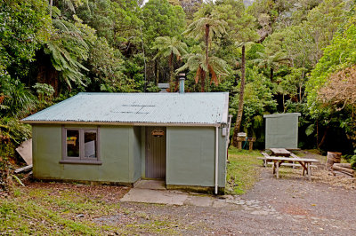
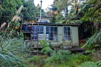
 Erewhon_31_2012.jpg |
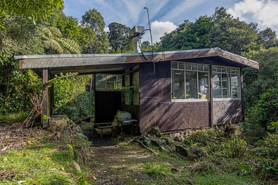
 Fern Lodge_60_2012.jpg |
 Fern_Lodge_60_2012B.jpg |
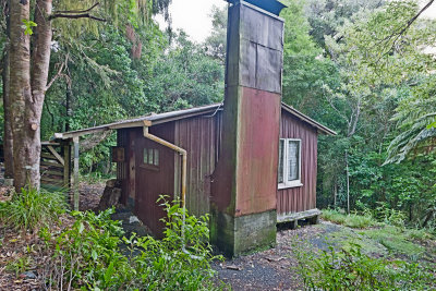
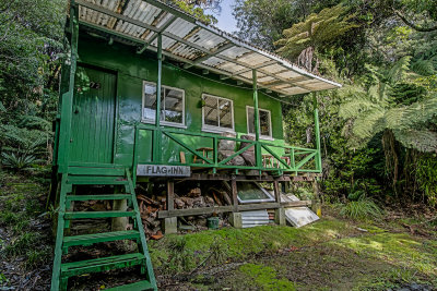 Flag Inn_72_2012.jpg |
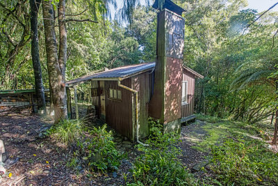
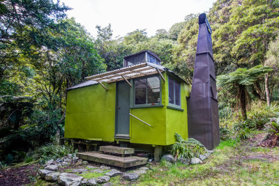 Goat Stream_19_2012.jpg |
 Orongorongo River 500m below Turere Stream. |
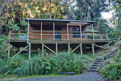 Haurangi_DOC_2012.jpg |
 Hebron_79_2012.jpg |
 Jans_16_2012.jpg |
 Johnsons_74_2012.jpg |
 Journeys End_11_2012.jpg |
 Orongorongo River from above Big Bend, Papatahi in distance. |
 Kia Ora_14_2012.jpg |
 Kiwi_13_2012.jpg |
 Kiwi_13_2012B.jpg |
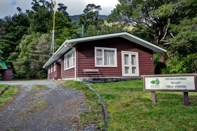 Landcare_2012.jpg |
 Landcare_2012B.jpg |
| previous page | pages 1 2 3 4 5 6 7 ALL | next page |
| comment | share |
| Warwick Scarlett | 14-Feb-2024 01:46 | |
| Paul Reid | 22-Dec-2022 02:10 | |
| Mark Pirritt | 06-Feb-2018 13:53 | |
| Guest | 08-Apr-2017 00:25 | |
| Margaret Mitchinson | 09-Feb-2017 08:08 | |
| Margaret Mitchinson | 09-Feb-2017 08:06 | |
| Roger Tidman | 16-Feb-2016 08:36 | |
| Bert Hedley | 20-Aug-2015 10:33 | |
| Guest | 04-Nov-2014 07:44 | |
| Guest | 15-Jul-2014 08:46 | |
| Alastair Laing | 07-Jul-2014 10:31 | |
| Alastair Laing | 07-Jul-2014 10:30 | |
| Anthony | 28-Dec-2013 01:54 | |
| Guest | 27-Oct-2013 08:44 | |
| Guest | 27-Oct-2013 08:42 | |
| Guest | 25-Oct-2013 12:46 | |
| Guest | 25-Oct-2013 12:44 | |
| Karen | 04-Sep-2013 06:23 | |
| clarkie | 11-Aug-2013 03:24 | |
| Guest | 22-Jan-2013 23:44 | |