


|
|
|
|
|
|
| Paul Lantz | profile | all galleries >> Galleries >> Moosonee pictures taken before 2008 | tree view | thumbnails | slideshow | map |
| previous page | pages 1 2 3 4 5 6 7 8 9 10 11 12 13 14 15 16 17 18 19 20 21 22 23 24 25 26 27 28 29 30 31 32 33 34 35 36 37 38 39 40 41 42 43 44 45 46 47 48 49 50 51 52 53 54 55 56 57 58 59 60 61 62 63 64 65 66 67 68 69 70 71 72 73 74 75 76 77 78 79 ALL | next page |
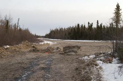 Intersection of two winter roads |
 Butler Creek looking north from rail bridge |
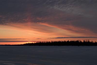 Sunrise over Butler Island (again) |
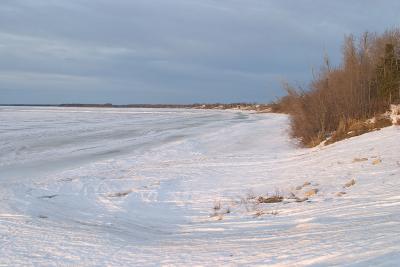 Moose River shoreline from Moosonee water plant April 5th |
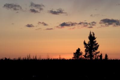 Treeline at sunset |
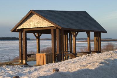 Shelter for boat taxi passengers |
 Mouth of Store Creek in Moosonee looking towards Butler Island |
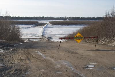 Road down McCauley's Hill officially closed |
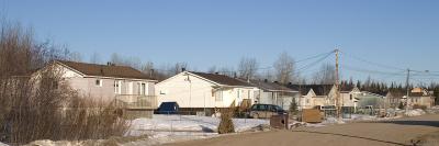 Pisew Street |
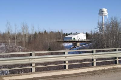 Store Creek Rail Bridge from Atim Road Bridge |
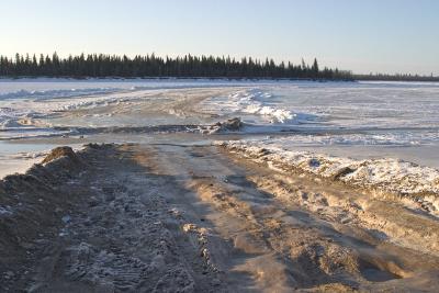 From land on to the river April 2nd 2005 |
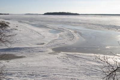
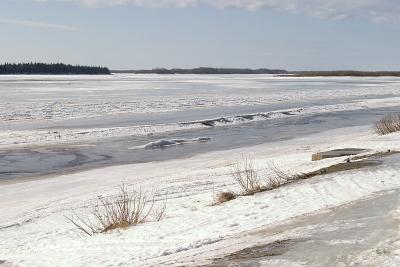 Looking south on April 2nd |
| previous page | pages 1 2 3 4 5 6 7 8 9 10 11 12 13 14 15 16 17 18 19 20 21 22 23 24 25 26 27 28 29 30 31 32 33 34 35 36 37 38 39 40 41 42 43 44 45 46 47 48 49 50 51 52 53 54 55 56 57 58 59 60 61 62 63 64 65 66 67 68 69 70 71 72 73 74 75 76 77 78 79 ALL | next page |
| comment | share |
| David Corscadden | 14-Apr-2015 16:34 | |
| Wischee | 29-Aug-2009 18:27 | |
| Wischee | 29-Aug-2009 18:27 | |
| A. Oyake | 26-Mar-2009 06:17 | |
| Paul Lantz | 11-Jun-2008 19:14 | |
| Juan Arias | 10-Jun-2008 13:07 | |
| Mike Servais | 11-May-2008 02:29 | |
| witchy pooh | 12-Apr-2008 10:12 | |
| Cherie Harrison | 13-Mar-2008 16:26 | |
| Guest | 04-Feb-2008 19:09 | |
| ejamesgang | 03-Feb-2008 01:48 | |
| Karsten Askeland | 29-Jan-2008 18:11 | |
| Guest | 31-Oct-2007 19:14 | |
| Scan | 23-Oct-2007 18:31 | |
| Gaboo | 23-Oct-2007 18:30 | |
| micha parag | 24-Jul-2007 03:33 | |
| Georgia Carr | 11-Jun-2007 01:05 | |
| Hannelore, Arkansas | 21-May-2007 21:34 | |
| Jennifer Sutherland | 20-May-2007 04:09 | |
| Michael J. Parkinson | 10-May-2007 05:58 | |
| marie | 23-Apr-2007 00:47 | |
| Bonnie Hunter Laforest | 21-Apr-2007 12:28 | |
| Brian Tozer | 09-Apr-2007 23:04 | |
| ROSEANN SCOTT | 22-Mar-2007 13:55 | |
| terry patterson | 18-Feb-2007 20:16 | |
| Mike | 15-Feb-2007 04:36 | |
| mary | 12-Feb-2007 04:24 | |
| Matt | 17-Jan-2007 03:22 | |
| Yuri Amatnieks | 13-Jan-2007 07:07 | |
| Daniel, Switzerland | 28-Dec-2006 13:39 | |
| Pat Linklater Jr. | 04-Dec-2006 02:14 | |
| Rich Hunter | 29-Nov-2006 19:46 | |
| Ashley Hockenberry | 23-Nov-2006 22:13 | |
| Will Mollon | 07-Nov-2006 02:20 | |
| georgia | 30-Oct-2006 01:34 | |
| Ondra | 23-Sep-2006 09:24 | |
| Marvin | 13-Sep-2006 21:59 | |
| Betty Whiskeychan | 13-Sep-2006 13:50 | |
| jennifer cool | 11-Sep-2006 13:47 | |
| Melissa | 31-Aug-2006 04:41 | |
| bobby moreman | 01-Jul-2006 20:21 | |
| Juan Arias | 17-Jun-2006 03:58 | |
| Guest | 12-May-2006 15:39 | |
| Michael Romijn | 27-Feb-2006 22:47 | |
| Ed & Bette Asbury | 04-Jan-2006 02:56 | |
| Sharon Crawford | 02-Dec-2005 03:22 | |
| Pearl | 03-Oct-2005 20:11 | |
| Guest | 02-Oct-2005 01:24 | |
| Guest | 05-Sep-2005 15:41 | |
| Paul Lantz | 25-Aug-2005 15:40 | |
| Faries/Akiwenzie Wedding Guest | 25-Aug-2005 05:22 | |
| Greta | 13-Aug-2005 16:34 | |
| Mary Jane | 08-Aug-2005 17:54 | |
| Guest | 18-Jul-2005 07:36 | |
| Debra | 15-Jul-2005 17:15 | |
| Jenn | 15-Jul-2005 02:08 | |
| sabrina dobson | 13-Jun-2005 17:12 | |
| John Rickard | 15-Mar-2005 04:23 | |
| Paul Lantz | 13-Feb-2005 05:38 | |
| Guest | 13-Feb-2005 01:04 | |
| Paul Lantz | 26-Dec-2004 05:45 | |
| Guest | 25-Dec-2004 22:45 | |