


|
|
|
|
|
|
| Paul Lantz | profile | all galleries >> Galleries >> Englehart and area | tree view | thumbnails | slideshow |
| previous page | pages 1 2 3 4 5 6 7 8 9 10 ALL | next page |
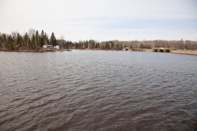
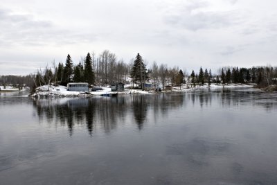
 2010 April 4th view across the Englehart River from former town hall in Charlton |
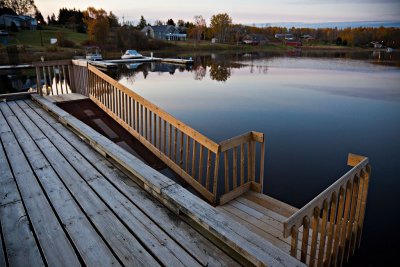
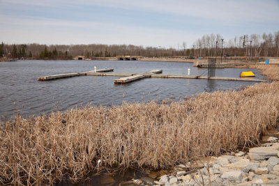 Charlton municipal docks |
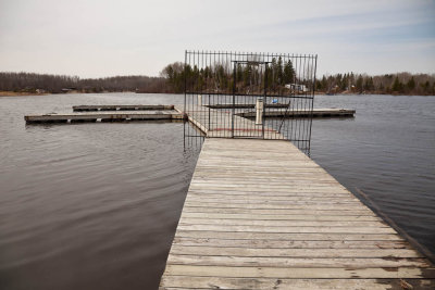 Charlton municipal docks |
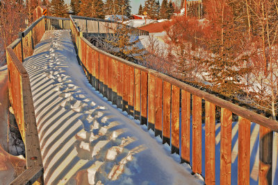
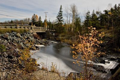
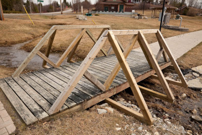 Pedestrian bridge |
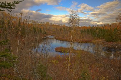
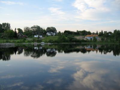
 South end of Long Lake 2010 Aapril 4th |
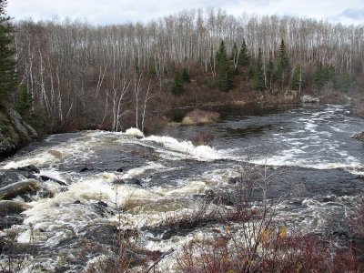
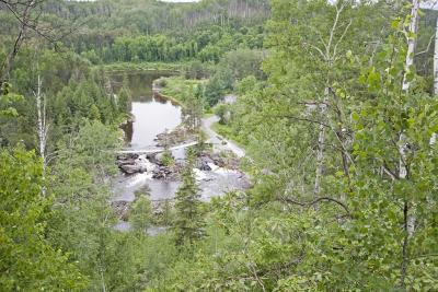
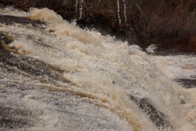 Rapids on the Englehart River below Highway 573 |
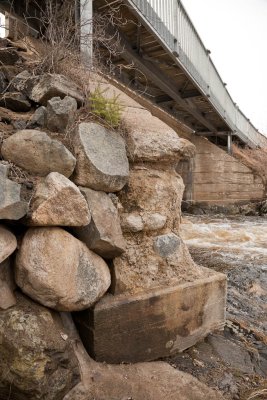
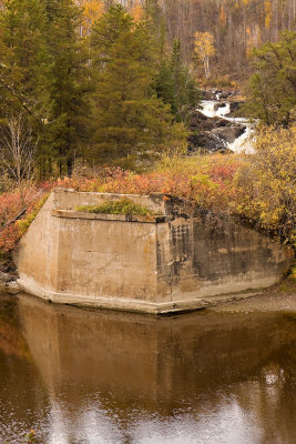
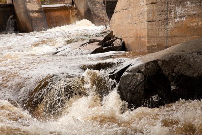 Base of Highway 573 bridge |
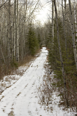
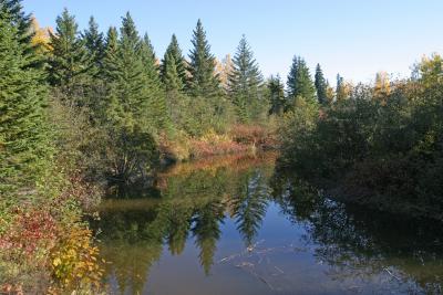
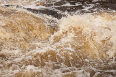 Englehart River |
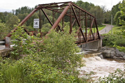
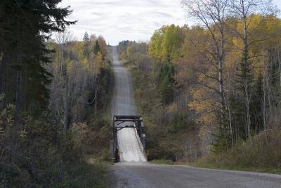
 Single lane bridge over the Englehart River on Highway 573 |
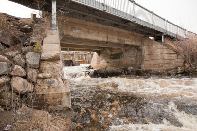 Single lane bridge over the Englehart River on Highway 573 |
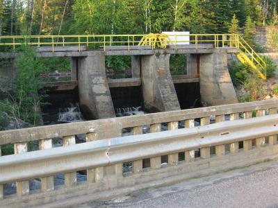
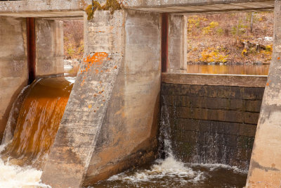 Dam at the end of Long Lake 2010 April 4th |
 View of Englehart River from Hydro reserve |
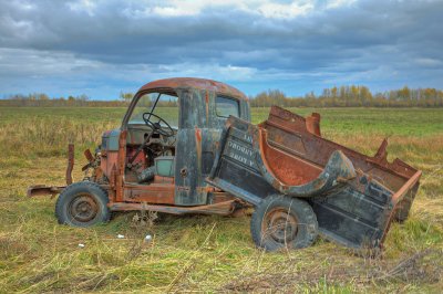 Old truck with television |
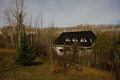
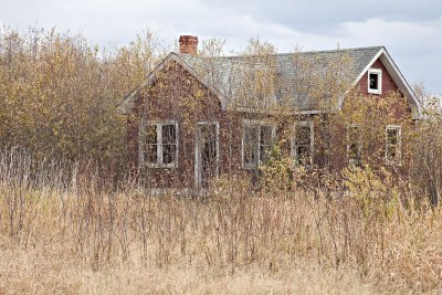 Abandoned house |
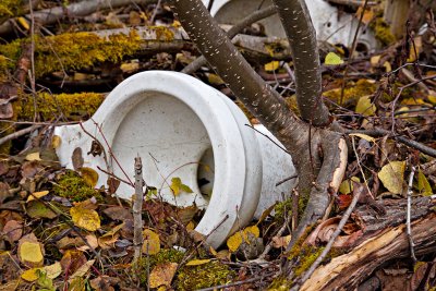 Toilets in the bush |
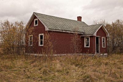 Abandoned house |
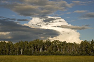
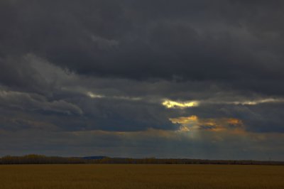 Cloudy skies |
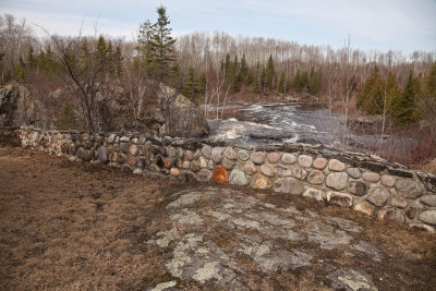
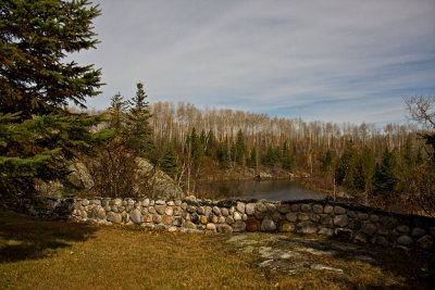
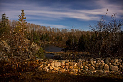
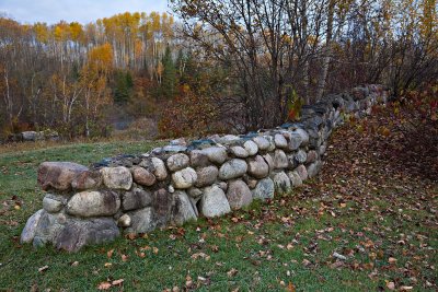 Stone wall near former Charlton Town Hall |
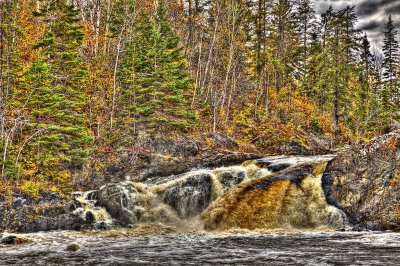
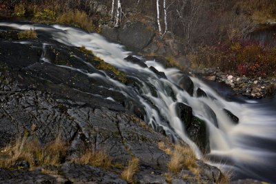
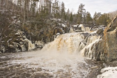
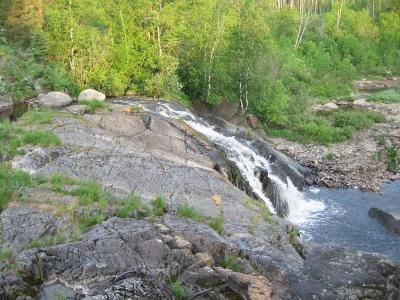
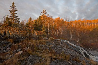 Englehart River falls near Highway 573 |
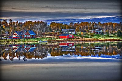 Long Lake shoreline 2009 October 12th (HDR edgy) |
 Ramp for boat access at Charlton docks |
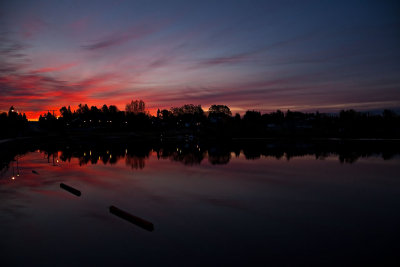 Before sunrise at end of Long Lake 2009 October 12 |
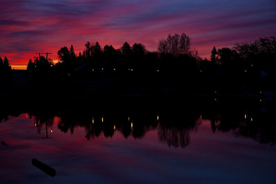 Before sunrise at end of Long Lake 2009 October 12 |
 Kapkigiwan - no access to trails leading to the falls 2009 October 10th |
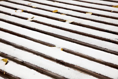 Laundry platform with fresh snow 2009 October 11th |
 Hell's Gate rapids at Kapkigiwan Park 2009 October 10th |
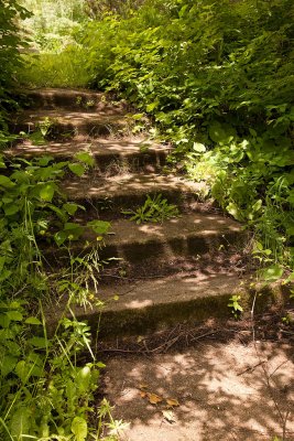 Steps at Kapkigiwan |
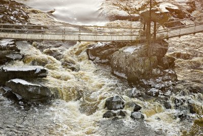
 Closed suspension bridge at Kapkigiwan |
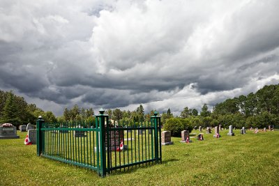 Charlton Public Cemetery |
 View from observation deck in rain |
 Pine trees at Kapkigiwan |
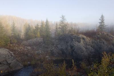
 Trees and mist near Charlton recycling centre |
 Pedestrian bridge |
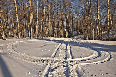 Snowmobile tracks on lawn |
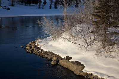 Shoreline near dam at end of Long Lake |
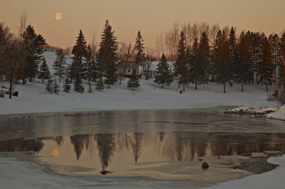 Moon at sunrise over the Rosepoint in Charlton |
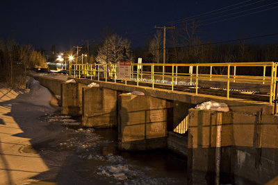 Dam along Highway 573 at night |
 Highway 11 heading south at Englehart |
 Night time shot of bridge on Highway 573 |
 Night time shot looking from former town hall grounds down the Englehart River |
 Night time shot of small falls in Charlton beside former town hall |
 Night time shot of former Charlton town hall |
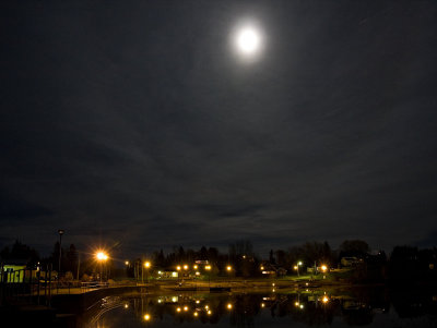 Charlton under a full moon |
 Night view from former town hall grounds in Charlton down the Englehart River |
 Bridge abutment at Kapkigiwan with Hell's Gate rapids in background |
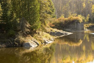
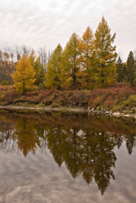 Tamarack trees reflected in the Englehart River at Kapkigiwan |
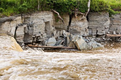
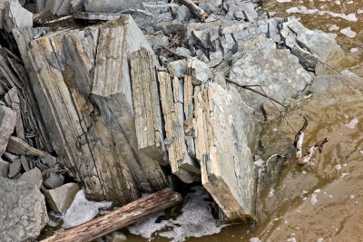
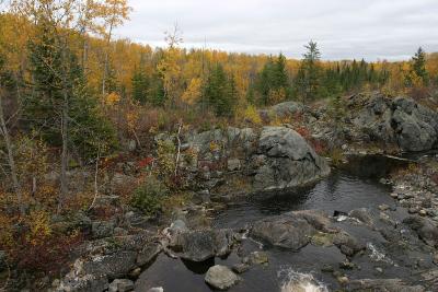
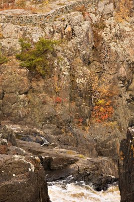 Rock walls above the Englehart River just upstream of High Falls |
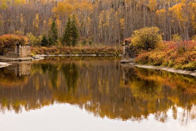 Abutments from former bridge across the Englehart River inside Kapkigiwan Park |
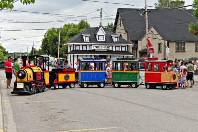 Minature train for Centennial |
 Minature train repairs |
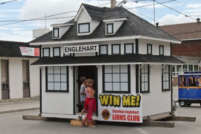 T&N.O. station on Third Avenue for Englehart Centennial |
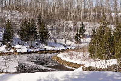
 Banks of St. Jean Baptiste Creek |
 Bridge over St. Jean Baptiste Creek |
 Rocks along St. Jean Baptiste Creek |
 Bridge over St. Jean Baptiste Creek |
 1024_IMG_7853.jpg |
 Long Lake 2008 April 17 |
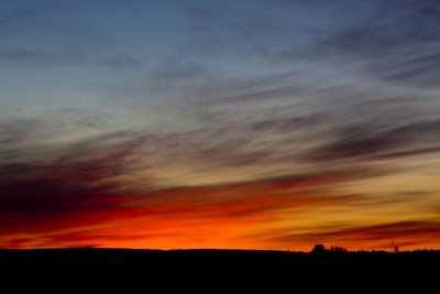 Sunset from Bear Road near Charlton Ontario |
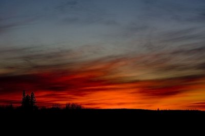 Sunset from Bear Road near Charlton Ontario |
 Sunset from Bear Road near Charlton Ontario |
 Offices of the former Town of Charlton |
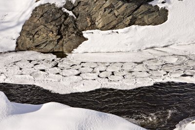 Shapes on the surface of the Englehart River |
 Englehart River below dams in Charlton |
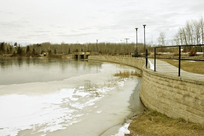
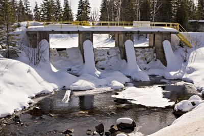 Dam on the Englehart River/Long Lake in Charlton |
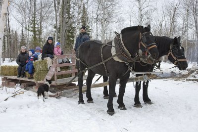 Horse drawn sleigh |
 Cow following sleigh |
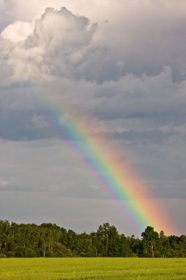
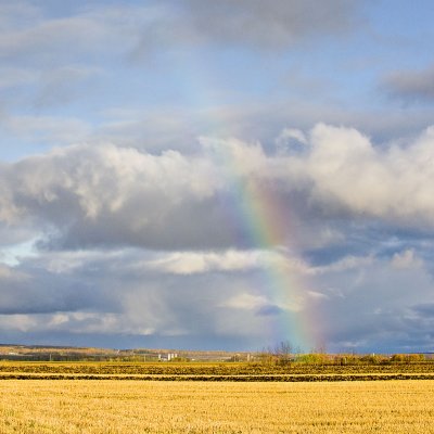 Faint rainbow near Earlton |
 Driving towards Earlton |
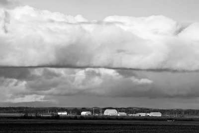 Clouds over farm near Earlton |
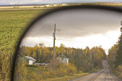
 Driving towards Earlton |
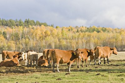 Cows west of Englehart |
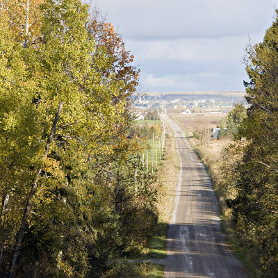
 View from Spruce Grove Road towards Englehart |
 Dark and light clouds along Sutton Road |
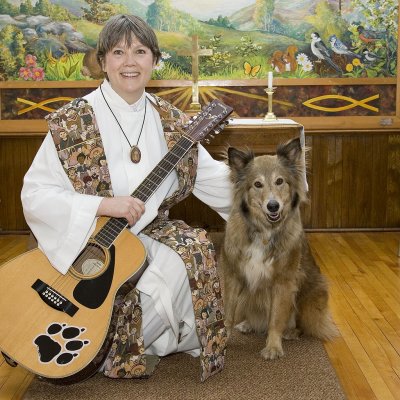 Reverend Linda Martin at St. Paul's United in Charlton |
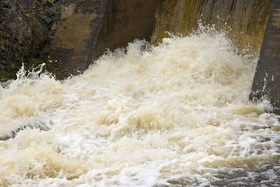 Faster exposure shot of water at dam along Highway 573 |
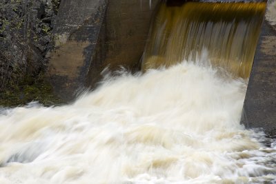 Slow exposure shot of water at dam along Highway 573 |
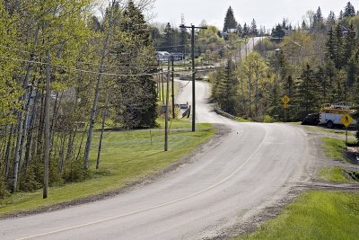 Highway 573 through Charlton, Ontario |
 Kapkigiwan High Falls Christmas Day 2006 |
 Middle observation deck Kapkigiwan |
 Hell's Gate Rapids at Kapkigiwan |
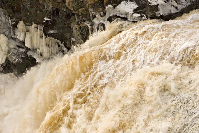 Water and ice at Kapkigiwan High Falls |
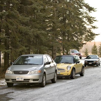 Christmas Eve parking |
 Former Ontario Northland right of way in Dack Township west of Englehart |
 Part of suspension bridge at Kapkigiwan Park |
 Ice along the edge of Long Lake at Charlton, Ontario |
 Dam at south end of Long Lake along Highway 573. |
 End of the Rosepoint in Long Lake. |
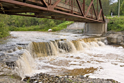
 Falls below bridge on Highway 573 |
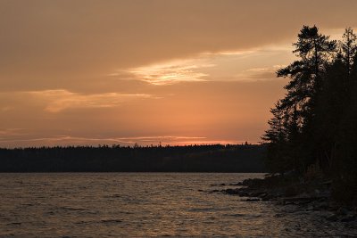 Cloudy sunset on Raven Lake |
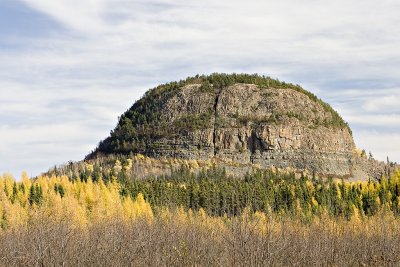 Mount Cheminis |
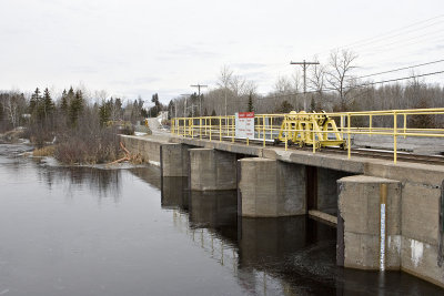
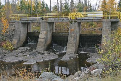
 Bridge on secondary highway 573 and dam at Charlton, Ontario |
 Dawn on Long Lake |
 Waterfall at dawn |
 Small falls on Englehart River at Charlton, Ontario |
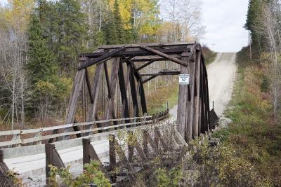 Bridge near Krugerdorf |
 View of bridge near Krugerdorf |
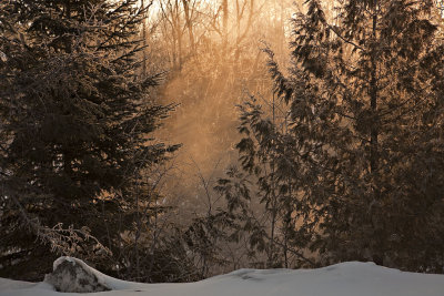
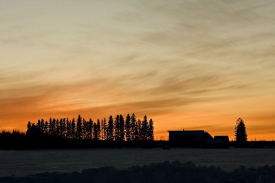
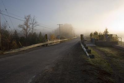 Foggy sunrise along Highway 573 at Charlton |
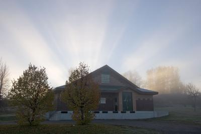 Sunrise above Charlton water treatment plant |
 Northern Ontario countryside Wabewawa and Krugerdorf |
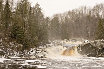
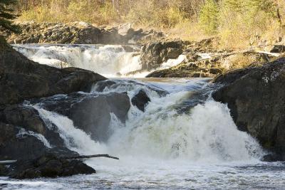 Hell's Gate rapids at Kapkigiwan Park near Englehart |
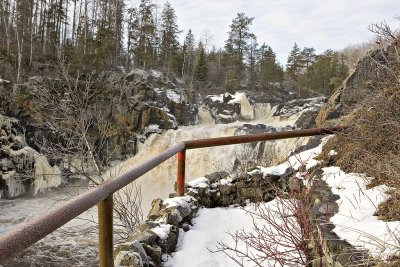
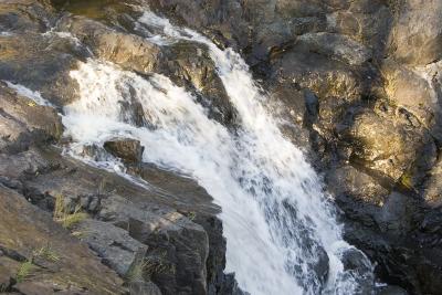 High Falls at Kapkigiwan Park near Englehart |
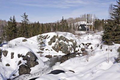
 Kapkigiwan Park near Englehart |
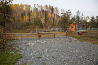
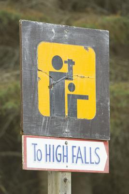 Park sign at Kapkigiwan Park near Englehart |
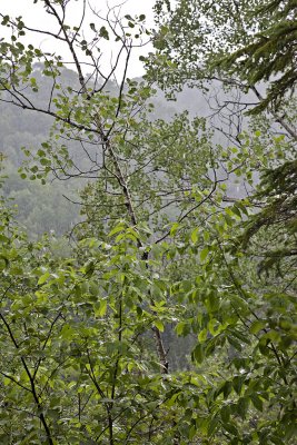
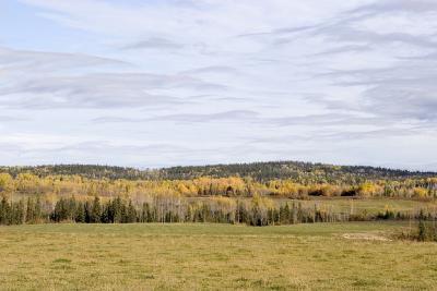
 Muted colours of Northern Ontario Fall |
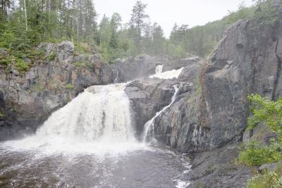 Kapkigiwan (High Falls) near Englehart |
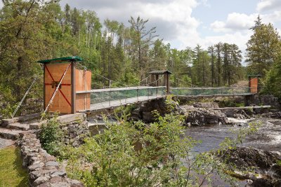
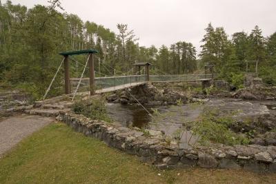 Kapkigiwan suspension bridge |
 Lookout view of Kapkigiwan suspension bridge |
 Small dam on the Englehart River |
 Kapkigiwan Park near Englehart |
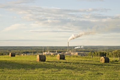
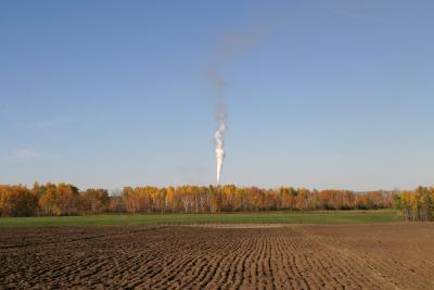 Field and smoke from edge of park |
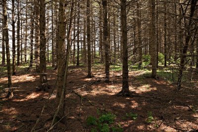
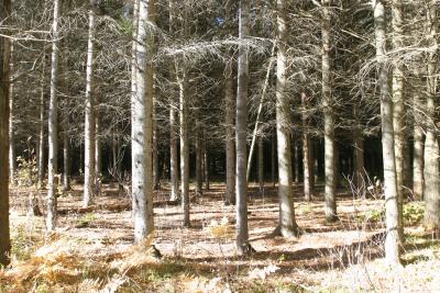 The edge of the dark pine woods, Kapkigiwan Park. |
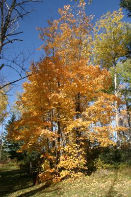 Lonely Maple Tree at Kapkigiwan |
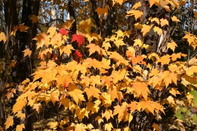 Even a few red leaves |
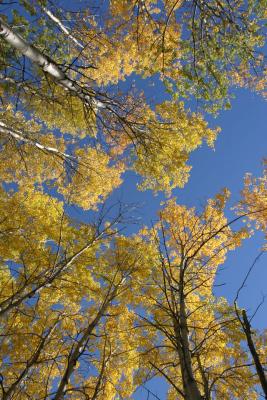 Looking up, Kapkigiwan Park |
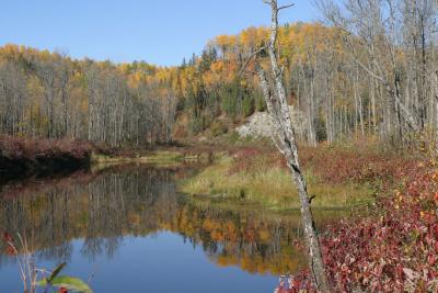
 Aidie Creek near Englehart |
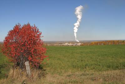 Red tree and white smoke |
| previous page | pages 1 2 3 4 5 6 7 8 9 10 ALL | next page |
| comment | share |
| Gary | 14-Apr-2013 00:51 | |
| Guest | 04-Nov-2010 22:29 | |
| Gary McPherson | 12-Jul-2008 17:22 | |
| W.Self | 22-Feb-2008 17:27 | |
| Carl Z | 16-Oct-2006 02:38 | |
| tony bennett | 25-Sep-2006 07:33 | |
| Guest | 18-Jun-2006 15:34 | |