


|
|
|
|
|
|
| Paul Lantz | profile | all galleries >> Galleries >> Englehart and area | tree view | thumbnails | slideshow |
| previous page | pages 1 2 3 4 5 6 7 8 9 10 ALL | next page |
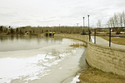 Ice along the edge of Long Lake at Charlton, Ontario |
 Dam at south end of Long Lake along Highway 573. |
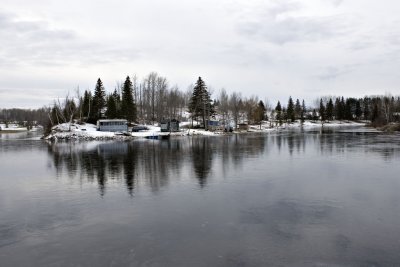 End of the Rosepoint in Long Lake. |
 Falls below bridge on Highway 573 |
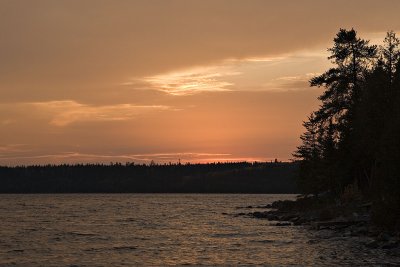 Cloudy sunset on Raven Lake |
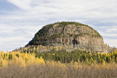 Mount Cheminis |
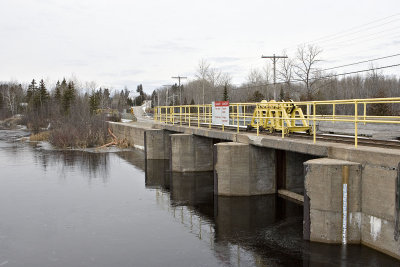
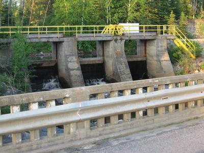 Bridge on secondary highway 573 and dam at Charlton, Ontario |
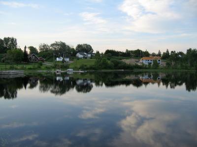 Dawn on Long Lake |
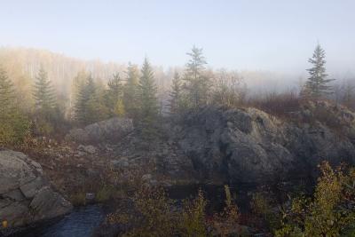
 Waterfall at dawn |
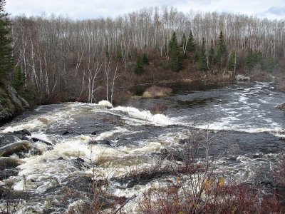
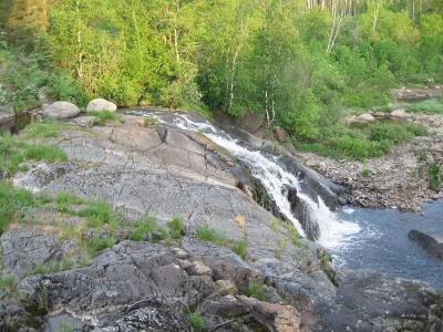
 Small falls on Englehart River at Charlton, Ontario |
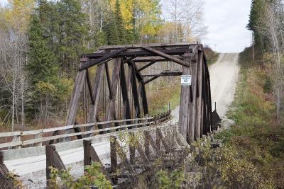 Bridge near Krugerdorf |
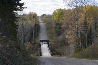 View of bridge near Krugerdorf |
| previous page | pages 1 2 3 4 5 6 7 8 9 10 ALL | next page |
| comment | share |
| Gary | 14-Apr-2013 00:51 | |
| Guest | 04-Nov-2010 22:29 | |
| Gary McPherson | 12-Jul-2008 17:22 | |
| W.Self | 22-Feb-2008 17:27 | |
| Carl Z | 16-Oct-2006 02:38 | |
| tony bennett | 25-Sep-2006 07:33 | |
| Guest | 18-Jun-2006 15:34 | |