


|
|
|
|
|
|
| Paul Lantz | profile | all galleries >> Galleries >> Englehart and area | tree view | thumbnails | slideshow |
| previous page | pages 1 2 3 4 5 6 7 8 9 10 ALL | next page |
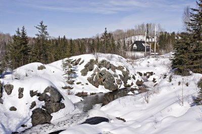 Offices of the former Town of Charlton |
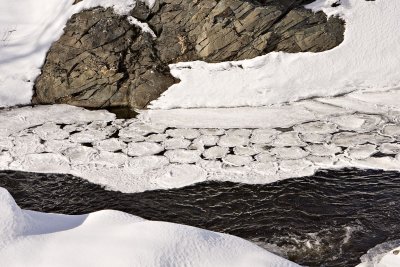 Shapes on the surface of the Englehart River |
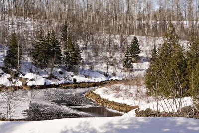 Englehart River below dams in Charlton |
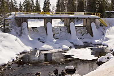 Dam on the Englehart River/Long Lake in Charlton |
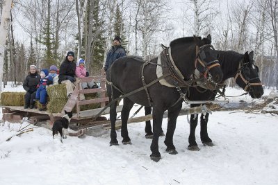 Horse drawn sleigh |
 Cow following sleigh |
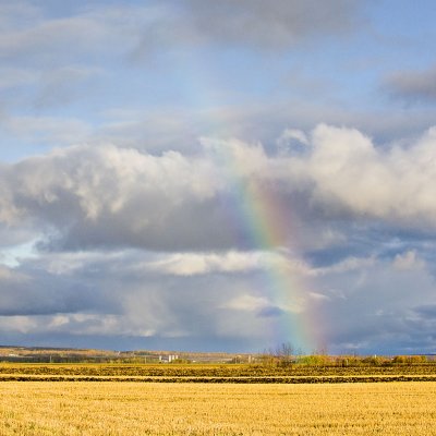 Faint rainbow near Earlton |
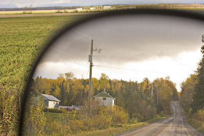 Driving towards Earlton |
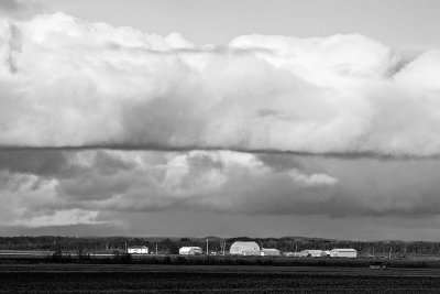 Clouds over farm near Earlton |
 Driving towards Earlton |
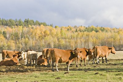 Cows west of Englehart |
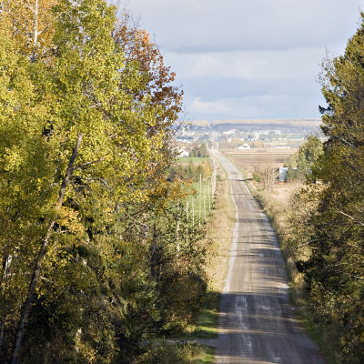
 View from Spruce Grove Road towards Englehart |
| previous page | pages 1 2 3 4 5 6 7 8 9 10 ALL | next page |
| comment | share |
| Gary | 14-Apr-2013 00:51 | |
| Guest | 04-Nov-2010 22:29 | |
| Gary McPherson | 12-Jul-2008 17:22 | |
| W.Self | 22-Feb-2008 17:27 | |
| Carl Z | 16-Oct-2006 02:38 | |
| tony bennett | 25-Sep-2006 07:33 | |
| Guest | 18-Jun-2006 15:34 | |