


|
|
|
|
|
|
| Paul Lantz | profile | all galleries >> Galleries >> Englehart and area | tree view | thumbnails | slideshow |
| previous page | pages 1 2 3 4 5 6 7 8 9 10 ALL | next page |
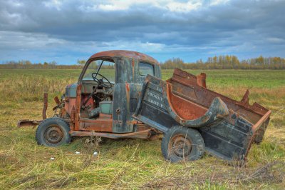 Old truck with television |
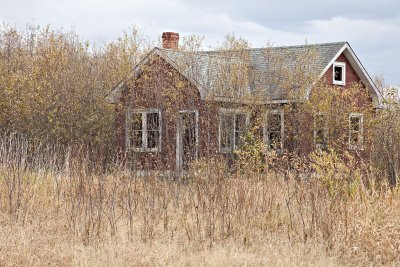 Abandoned house |
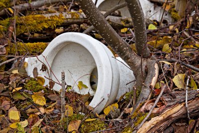 Toilets in the bush |
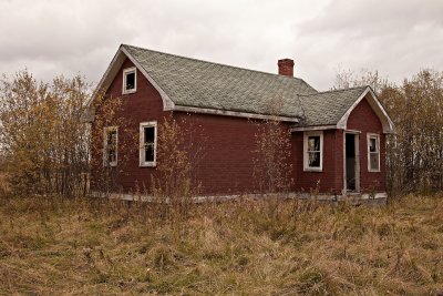 Abandoned house |
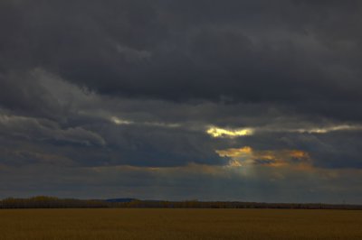 Cloudy skies |
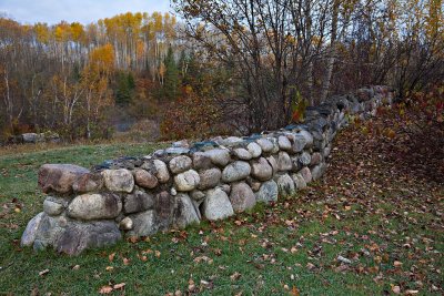 Stone wall near former Charlton Town Hall |
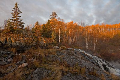 Englehart River falls near Highway 573 |
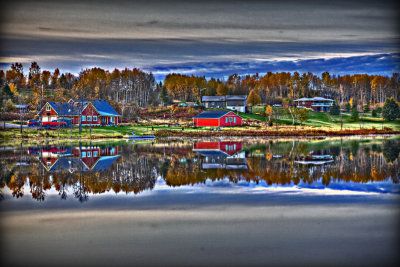 Long Lake shoreline 2009 October 12th (HDR edgy) |
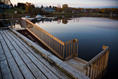 Ramp for boat access at Charlton docks |
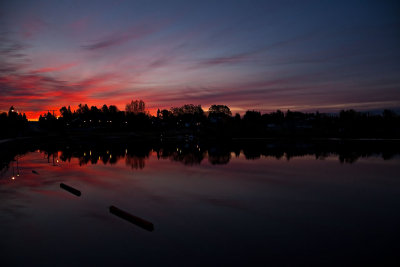 Before sunrise at end of Long Lake 2009 October 12 |
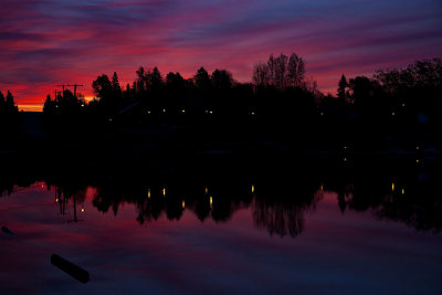 Before sunrise at end of Long Lake 2009 October 12 |
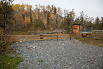 Kapkigiwan - no access to trails leading to the falls 2009 October 10th |
| previous page | pages 1 2 3 4 5 6 7 8 9 10 ALL | next page |
| comment | share |
| Gary | 14-Apr-2013 00:51 | |
| Guest | 04-Nov-2010 22:29 | |
| Gary McPherson | 12-Jul-2008 17:22 | |
| W.Self | 22-Feb-2008 17:27 | |
| Carl Z | 16-Oct-2006 02:38 | |
| tony bennett | 25-Sep-2006 07:33 | |
| Guest | 18-Jun-2006 15:34 | |