


|
|
|
|
|
|
| paplvr | profile | all galleries >> Galleries >> White Tank Regional Park | tree view | thumbnails | slideshow |
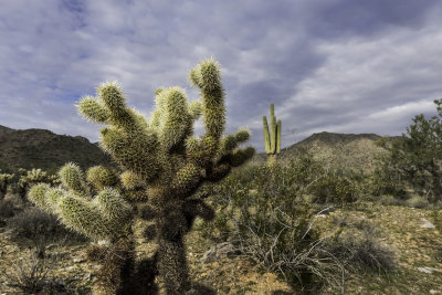 Teddy Bear Cholla Cactus |
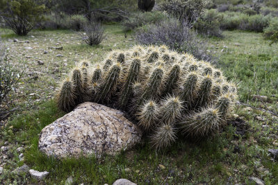 Hedgehog Cactus |
 Buckhorn Cactus |
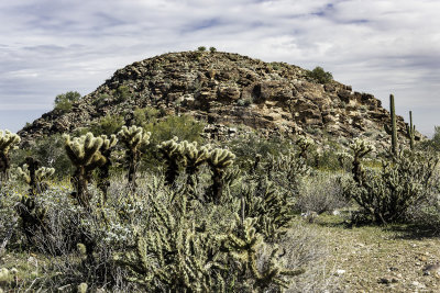
 Mountain above Water Fall Trail |
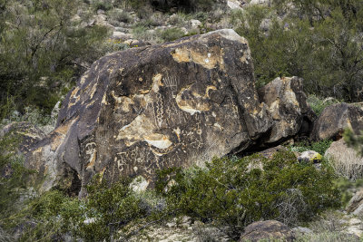 Indian Petroglyph |
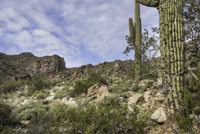 Desert Scenery |
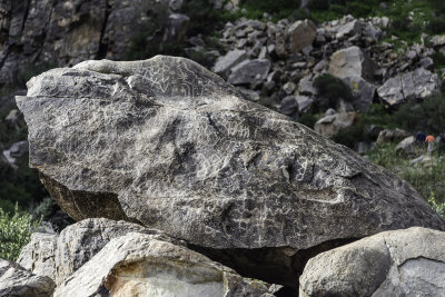 Indian Petroglyph |
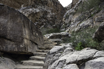 Water Fall Trail Going Up |
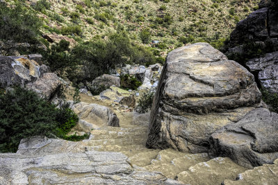 Water Fall Trail Going Down |
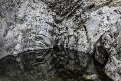 Water Pooling At The Top |
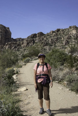 Me Hiking |
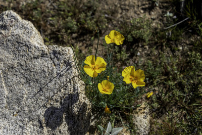 Desert Poppy |
 Old Seguaro |
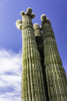 The Three Amigos |
 Teddy Bear Cholla |
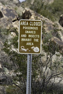 Stay On The Trail |
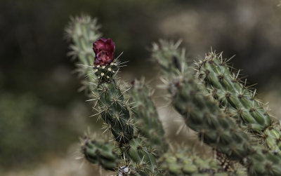
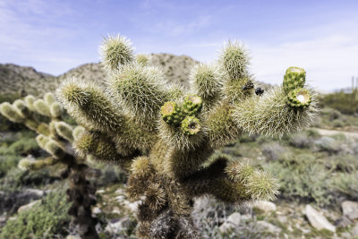 Teddy Bear Cholla Ready to Bloom |
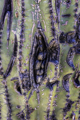
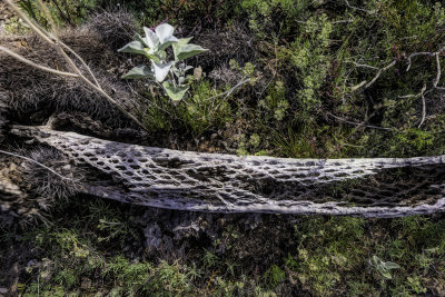 Cactus Skeleton |
| comment | share |
| Ed Duverger | 10-Feb-2019 10:30 | |
| Guest | 01-Feb-2019 20:18 | |
| fotabug | 31-Jan-2019 20:16 | |