


|
|
|
|
|
|
| Bert van den Berg | profile | all galleries >> Galleries >> Holiday on Reunion Island (ile de la reunion) | tree view | thumbnails | slideshow |
| previous page | pages 1 2 3 4 5 6 7 8 ALL | next page |
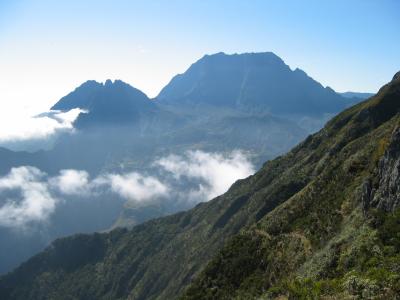
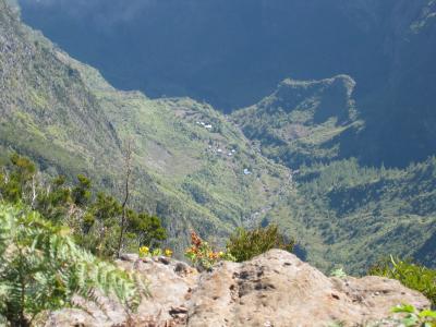
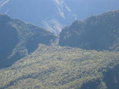
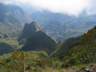
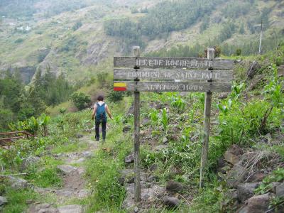
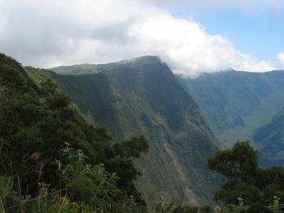
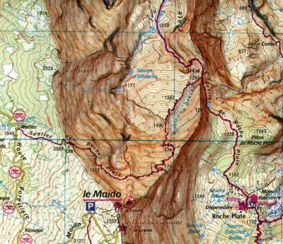 Sentier du Roche Plate route, cirque du Mafate, the most difficult exit. |
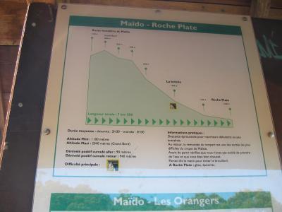 08:32h, Roche Plate is only 7,5Km away but about 1000M below. |
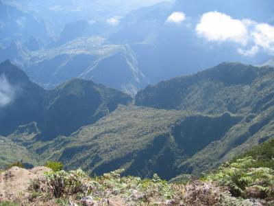
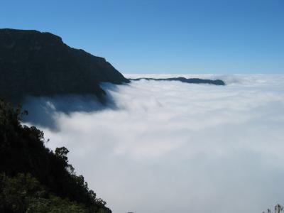
 08:52, Grand Bord, 2040M |
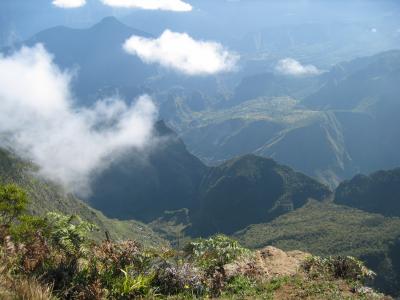
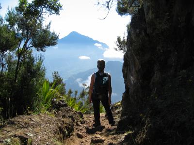
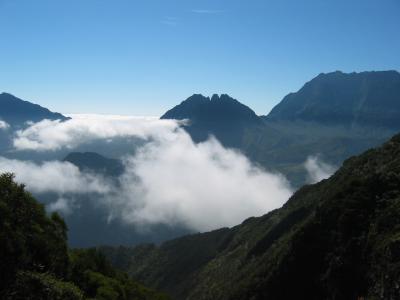
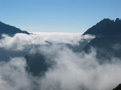
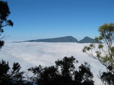
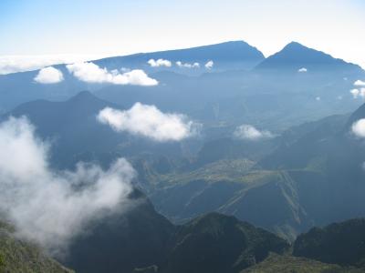 Some Clouds, you should start at sunrise from here :-) |
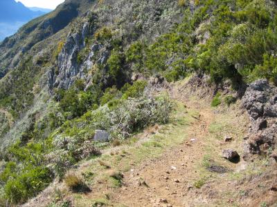
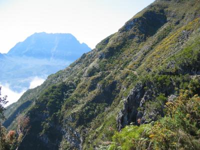
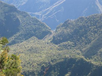
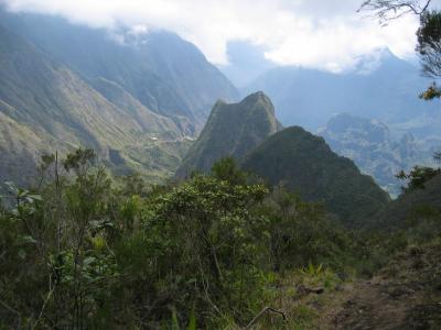
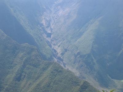
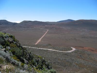
 Zoom, the path, Sentier du Roche Plate |
 The path, Sentier du Roche Plate, without zoom |
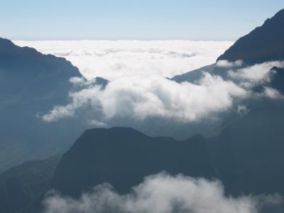
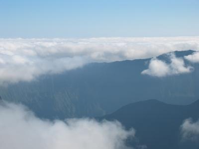
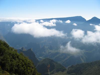
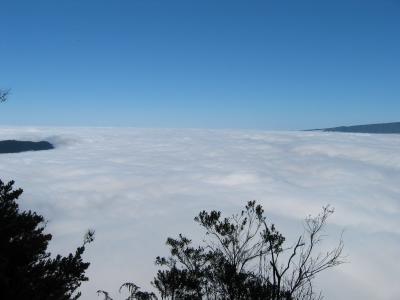
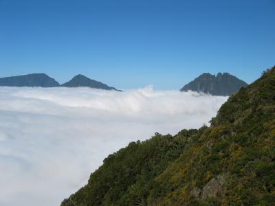
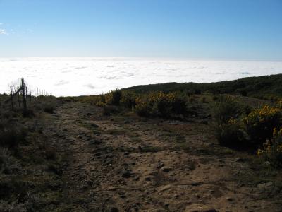
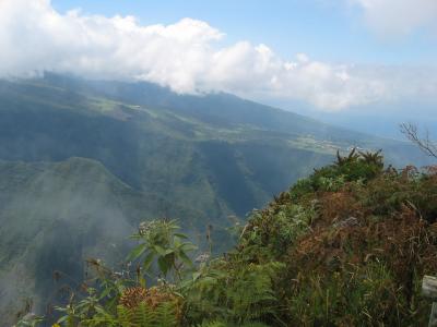
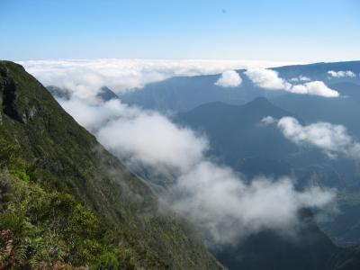 Already above the clouds |
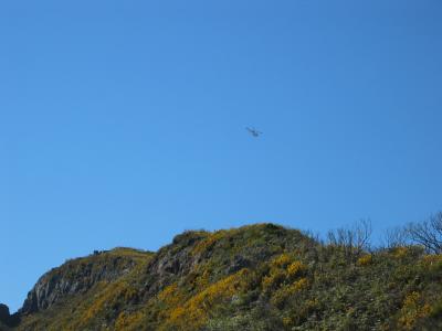 Heli above the Maido viewpoint |
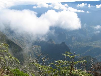
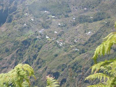
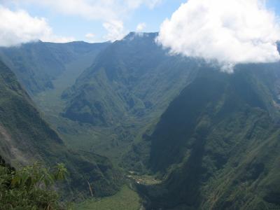
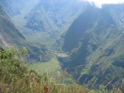
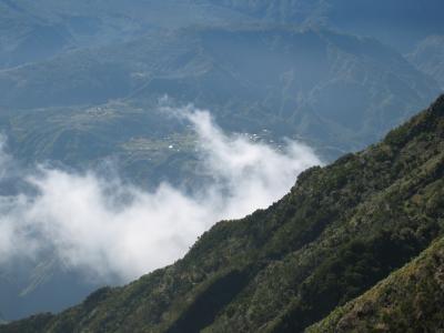 The villages in the Mafate can only be reached by foot or Helicopter |
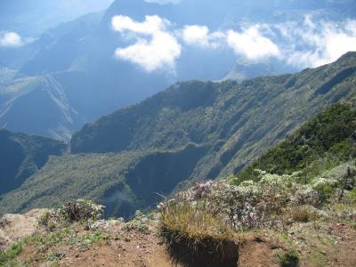
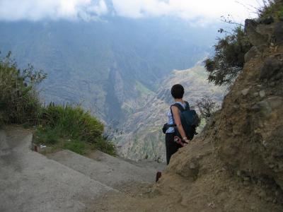
 Fascinating, are we not to late to go down? |
 Someone can sit here for hours and enjoy the scenery, but... |
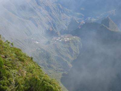
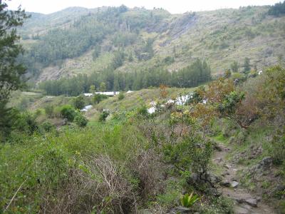
 Small. isolated villages, build with help of Donkeys |
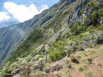
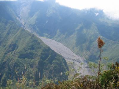
 Zoom, the path, Sentier du Roche Plate |
 The path, Sentier du Roche Plate, without zoom |
 Does not look difficult in the beginning :-) |
 The path |
 Its beautiful, 100 pictures today |
 106_0620.JPG |
 106_0626.JPG |
 The path |
 106_0633.JPG |
 106_0634.JPG |
 106_0635.JPG |
 106_0639.JPG |
 106_0643.JPG |
 106_0646.JPG |
 09:37h after a hour, 25% of the route, looking backwards |
 106_0656.JPG |
 10:33h, after 2 hours, almost halfway |
 106_0663.JPG |
 11:48h, after more than 3 hours, Ti Col, 1293M, looking down to 837M, a robe for safety here, |
 Finally, Roche Plate..the last part is relative easy going through the woods |
 12:20h after 3h 48 min. Finally, Roche Plate, 1100M, a Cafe, but nobody, lunch and then back at 12:45h |
 15:22h, Almost back at the top again |
 15:41h |
 15:42h |
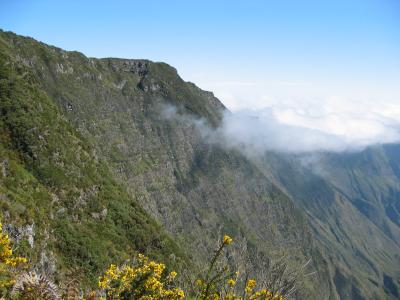
 16:26h back at Grand Board 2040M above the clouds, what a wonderfull sight.. |
 16:29h after 8 hours, (3 uur 45 min for return) , almost back, walking above the clouds |
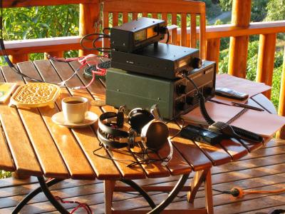 Let's make some QSO's.. |
 View to Europe.. |
 View to North America |
 View to South America |
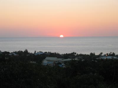 Sunset |
 Sunset..Propagation time.. |
 Point de vue sur la riviere des ramparts. 1700M |
 Point de vue sur la riviere des ramparts. |
 Point de vue sur la riviere des ramparts. |
 Point de vue sur la riviere des ramparts. |
 Point de vue sur la riviere des ramparts. |
 Point de vue sur la riviere des ramparts. |
 Point de vue sur la riviere des ramparts. |
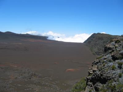 Plaine des Sables |
 Plaine des Sables |
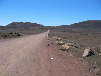 Plaine des Sables |
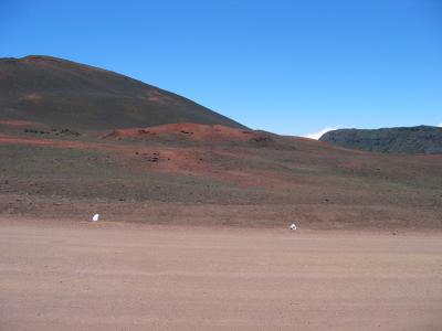 Plaine des Sables |
 Plaine des Sables |
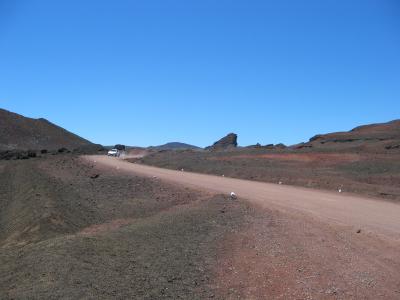 Plaine des Sables |
 Plaine des Sables |
 Plaine des Sables |
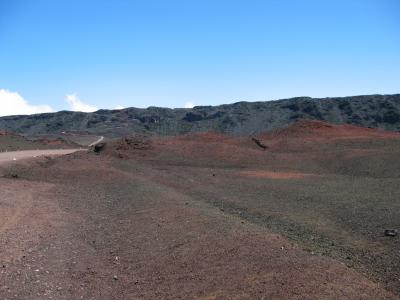
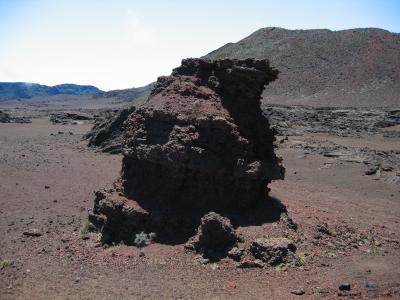
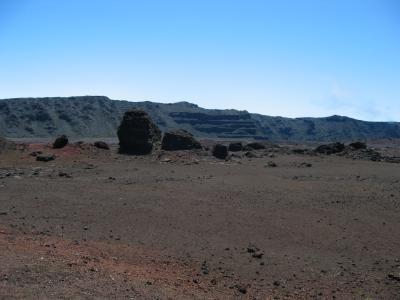
 From Pas de Bellecombe 2311M |
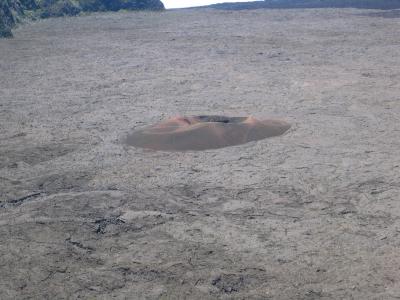 From Pas de Bellecombe 2311M, Le Formica Leo (1753 Eruption) |
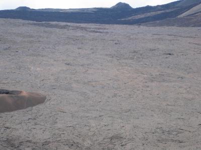 From Pas de Bellecombe 2311M |
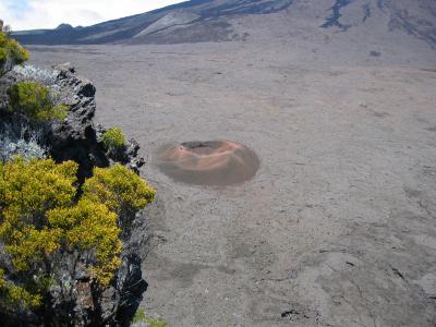 From Pas de Bellecombe 2311M, Le Formica Leo (1753 Eruption) |
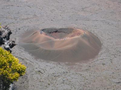 From Pas de Bellecombe 2311M, Le Formica Leo (1753 Eruption) |
 Plaine des Sables |
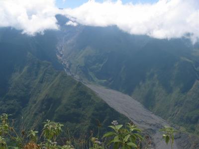
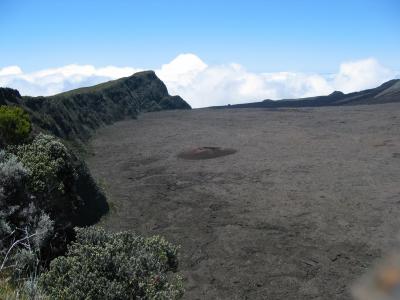
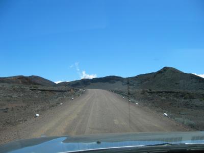
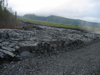
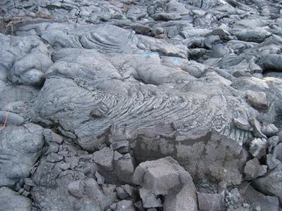
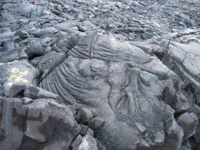
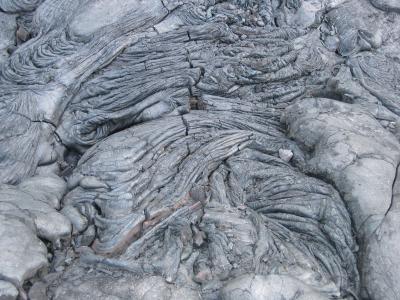
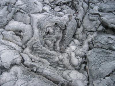
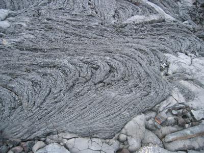
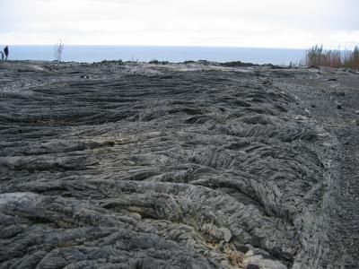
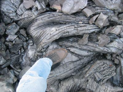
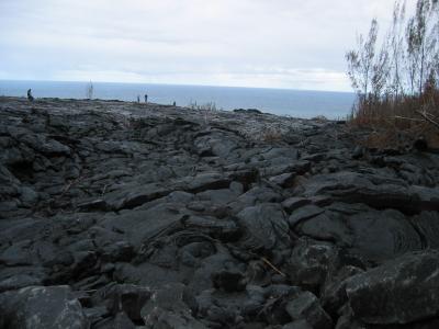 Eruption 13 August - 2 September 2004 The lava (Still warm..) |
 Eruption 13 August - 2 September 2004 The lava (Still warm..) |
 Eruption 13 August - 2 September 2004 The lava (Still warm..) |
 Eruption 13 August - 2 September 2004 The lava (Still warm..) |
 Eruption 13 August - 2 September 2004 The lava (Still warm..) |
 Eruption 13 August - 2 September 2004 The lava (Still warm..) |
 Eruption 13 August - 2 September 2004 The lava (Still warm..) |
 Eruption 13 August - 2 September 2004 The lava (Still warm..) |
 Eruption 13 August - 2 September 2004 The lava (Still warm..) |
 Eruption 13 August - 2 September 2004 The lava (Still warm..) |
 From Roche Verre Bouteille 1239M, view to Kiosque du cap Noir |
 From Roche Verre Bouteille 1300M view to Le Port, where the VK0IR team departed |
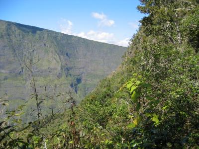
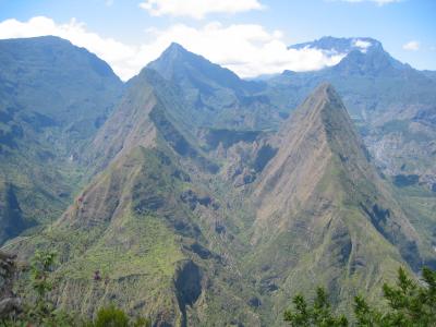 Crete de la Marianne & Crete d' Aurere, Mafate |
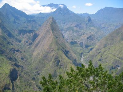 Crete d' Aurere & les Deux Bras, Mafate |
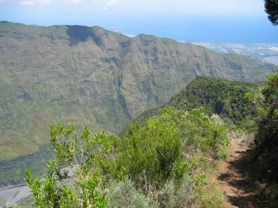 Canalisation des Orangers footpath |
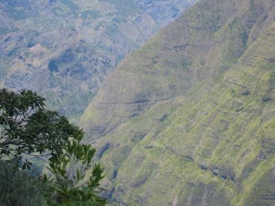 Canalisation des Orangers footpath |
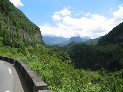 Salazie |
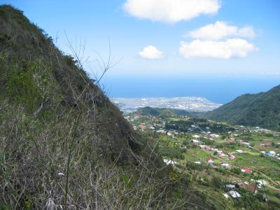
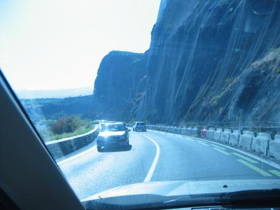
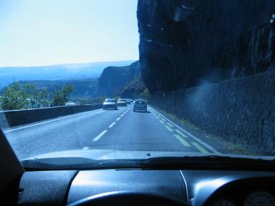 R du Littoral the main coast road the road is fulnerable for falling stones, particulair in the wet (cyclone) season |
 Huge nets should protect the road but sometimes it's not enough.. |
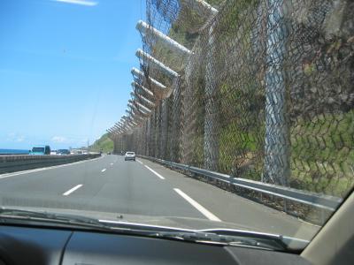 Second world war anti submarine nets |
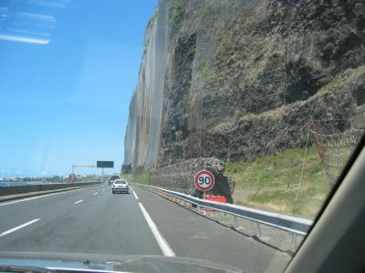 Trafic average speed is around 100Km/h |
| previous page | pages 1 2 3 4 5 6 7 8 ALL | next page |
| comment | share |
| VP9GE | 13-Nov-2004 00:02 | |