


|
|
|
|
|
|
| oliverka | profile | all galleries >> Mountain Trips >> Cascade Volcanoes (April 2013) >> Mount Shasta | tree view | thumbnails | slideshow | map |
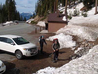 Bunny Flat Trailhead |
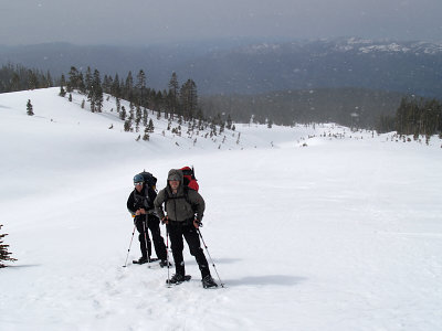 To Helen Lake |
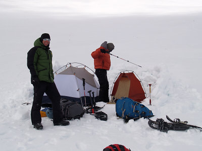 Helen Lake Camp (10,043ft; 3183m) |
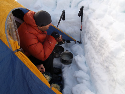 Camp Kitchen |
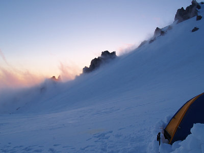 Evening at Helen Lake |
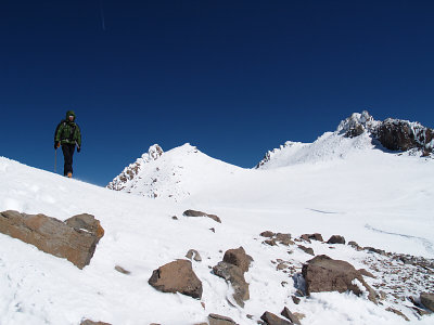 Summit plateau |
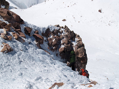 Last steps |
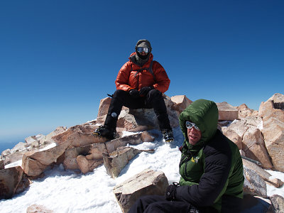 At the summit (14,179ft; 4322m) |
| comment | share |
| Guest | 03-May-2013 18:48 | |