


|
|
|
|
|
|
| A.G. Arao / noyphoto | profile | all galleries >> Galleries >> Scenic Drives in Colorado -- September & October 2011 | tree view | thumbnails | slideshow |
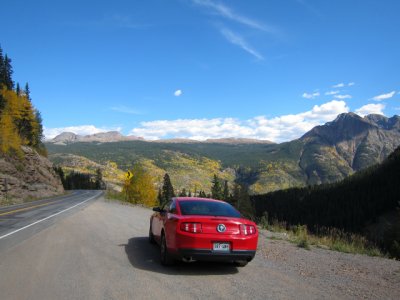
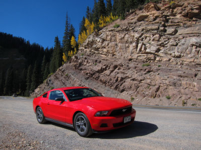
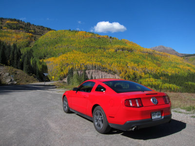
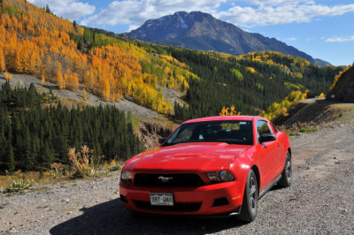
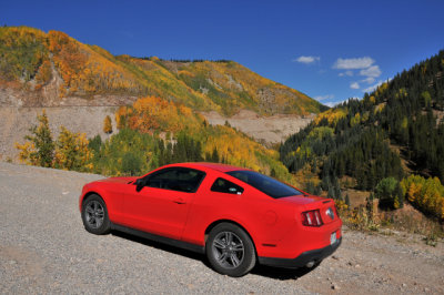
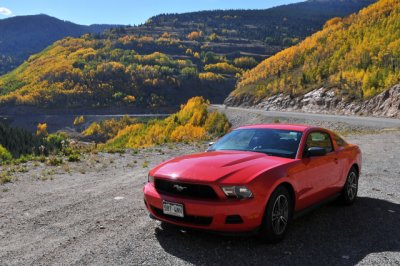
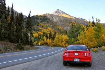
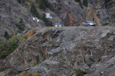
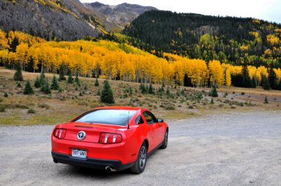
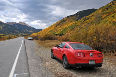
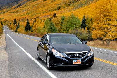
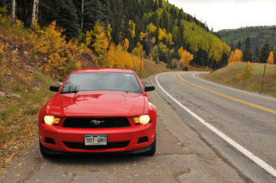
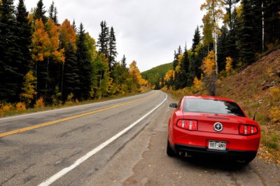
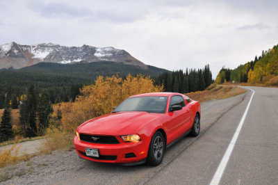
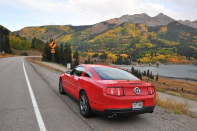
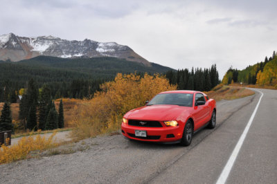
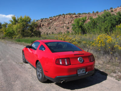
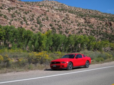
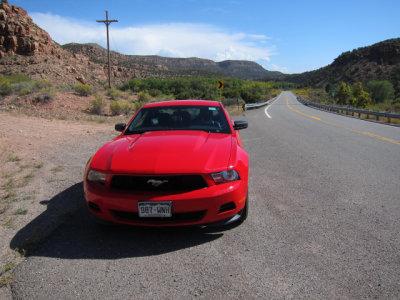
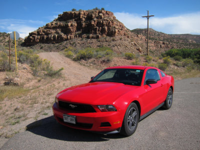
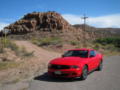
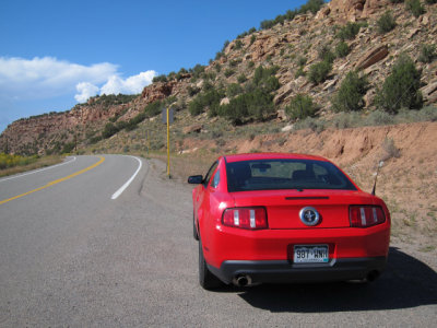
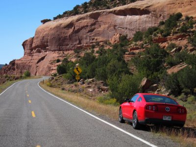
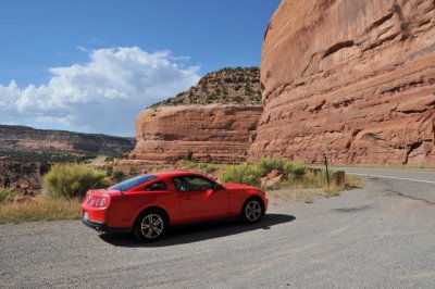
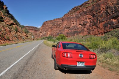
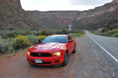
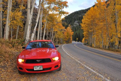
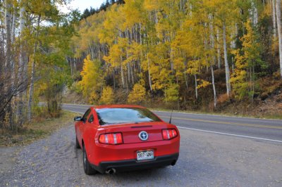
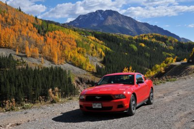 2012 Ford Mustang from Hertz on the San Juan Skyway, Route 550, north of Durango (D300-1449) |
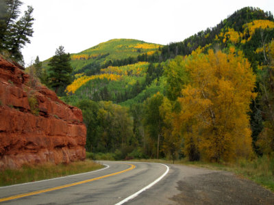
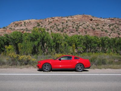
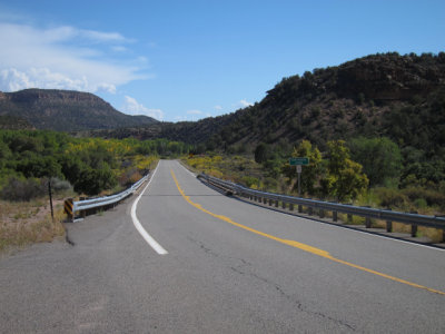
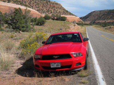
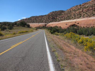
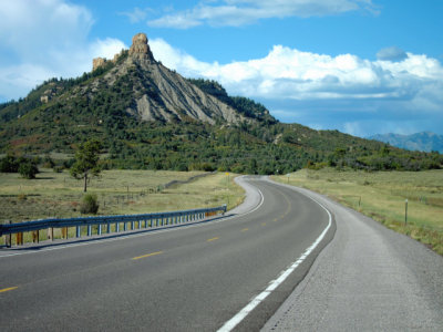 Route 84, a short distance either south or north of the New Mexico and Colorado line (S95-0437) |
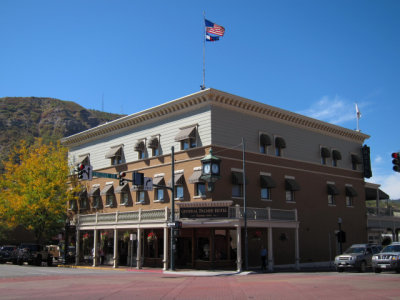
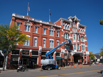 Strater Hotel, built in 1887, Durango (S-0443) |
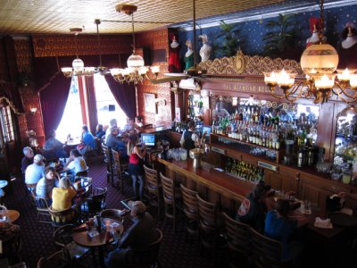 The Diamond Belle Saloon at the Strater Hotel, Durango (S-0457) |
 The Diamond Belle Saloon at the Strater Hotel, Durango (S-0461) |
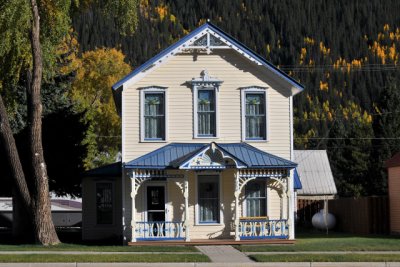
 Durango (S-0451) |
 General Palmer Hotel, established in 1898, Durango (S-0454) |
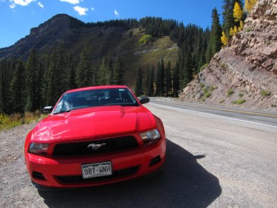
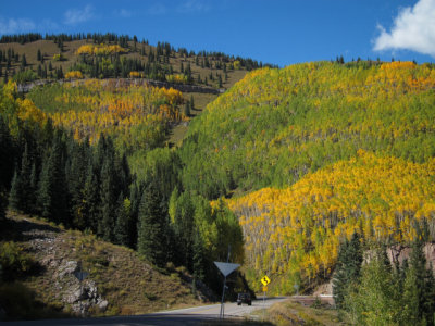
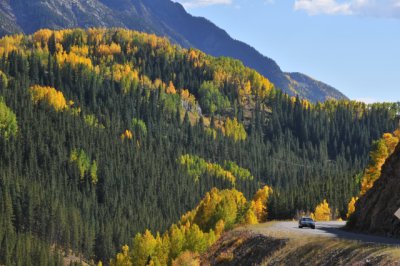
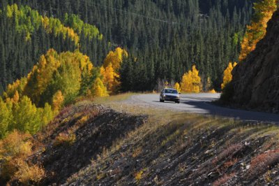
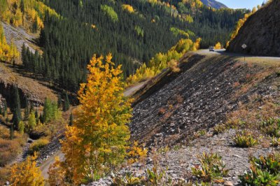
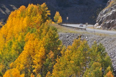
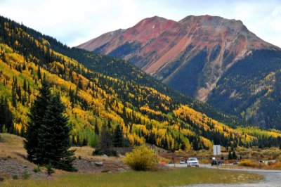
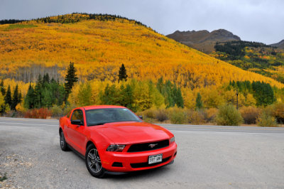
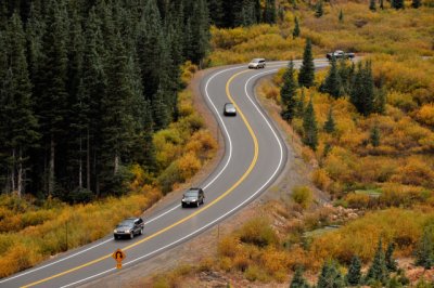
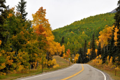
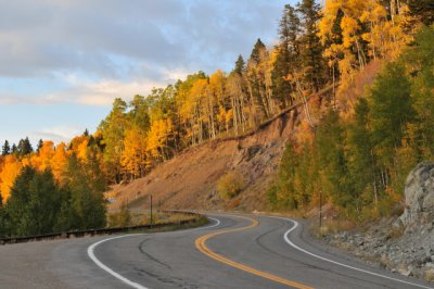
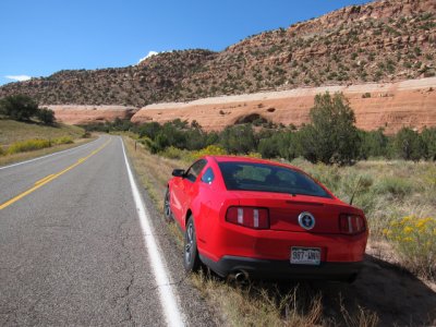
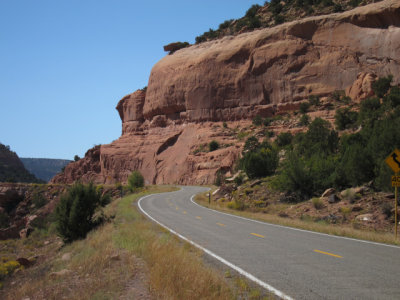
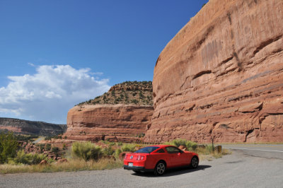
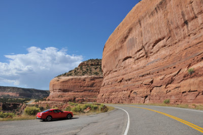
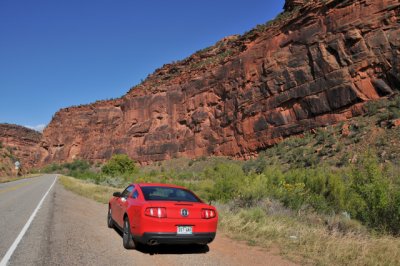
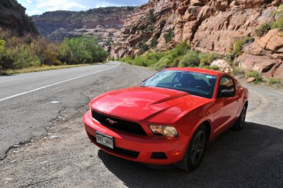
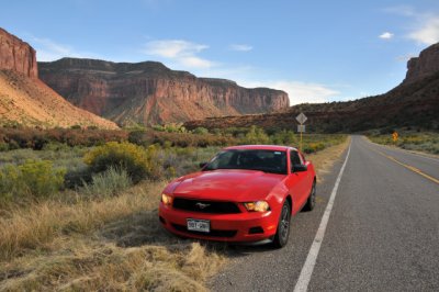
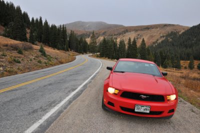
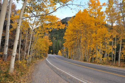
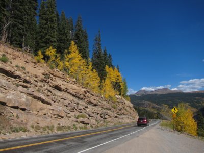 Heading north on San Juan Skyway, Route 550, north of Durango (S-0472) |
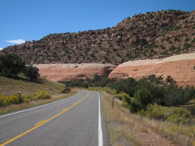
 San Juan Skyway, Route 550, north of Durango (S-0471) |
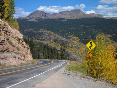
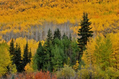
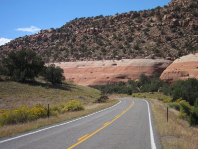
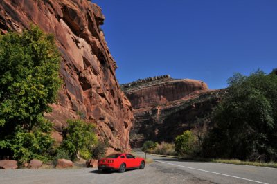
 San Juan Skyway, Route 550, north of Durango (S-0470) |
 San Juan Skyway, Route 550, north of Durango (S-0473) |
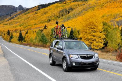
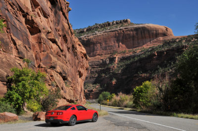
 San Juan Skyway, Route 550, north of Durango (S-0475) |
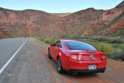
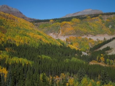 Along San Juan Skyway, Route 550, north of Durango (S-0477) |
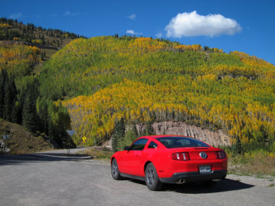 San Juan Skyway, Route 550, north of Durango (S-0479) |
 San Juan Skyway, Route 550, north of Durango (S-0478) |
 San Juan Skyway, Route 550, north of Durango (S-0483) |
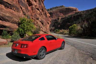
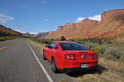
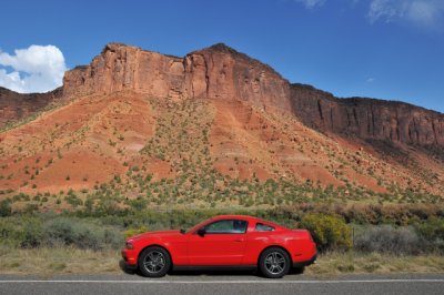
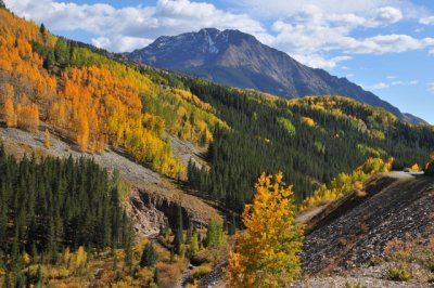 San Juan Skyway, Route 550, north of Durango (D-1436) |
 San Juan Skyway, Route 550, north of Durango (D-1427) |
 San Juan Skyway, Route 550, north of Durango (D-1430) |
 San Juan Skyway, Route 550, north of Durango (D-1429) |
 San Juan Skyway, Route 550, north of Durango (D-1431) |
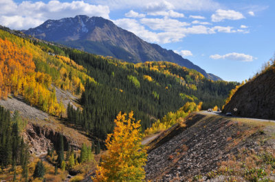
 San Juan Skyway, Route 550, north of Durango (D-1453) |
 San Juan Skyway, Route 550, north of Durango (D-1440) |
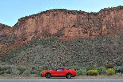
 San Juan Skyway, Route 550, south of Silverton (D-1456) |
 San Juan Skyway, Route 550, south of Silverton (D-1471) |
 San Juan Skyway, Route 550, Silverton (D-1474) |
 Along San Juan Skyway, Route 550, Silverton (D-1475) |
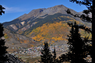
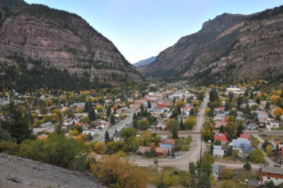
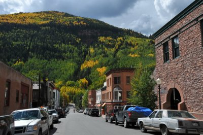
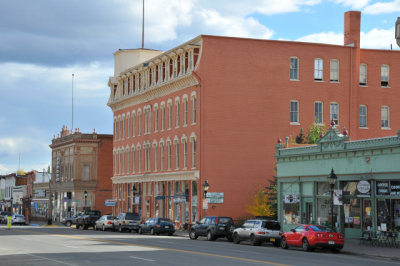
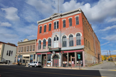
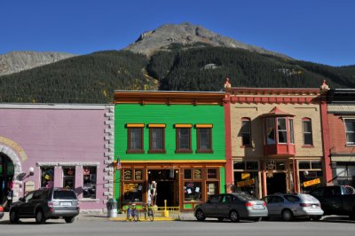 Silverton (D-1484) |
 Silverton (D-1485) |
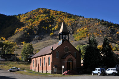 Silverton (D-1491) |
 Silverton (D-1509) |
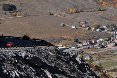
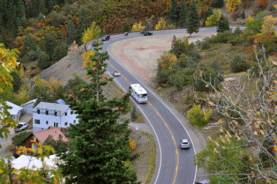
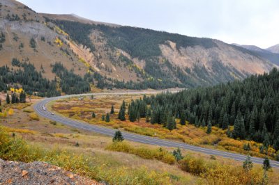
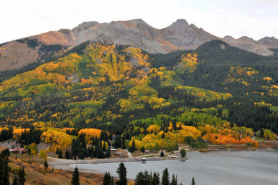
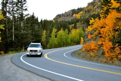 San Juan Skyway, Route 550, Million Dollar Highway, north of Silverton (D-1519) |
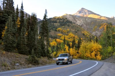 San Juan Skyway, Route 550, Million Dollar Highway, north of Silverton (D-1522) |
 San Juan Skyway, Route 550, Million Dollar Highway, north of Silverton (D-1525) |
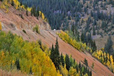
 Along San Juan Skyway, Route 550, Million Dollar Highway, south of Ouray (D-1530) |
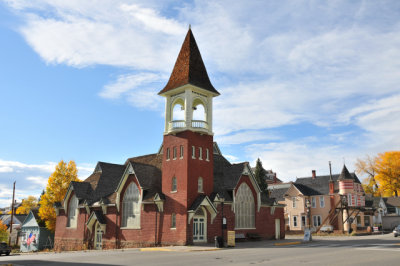
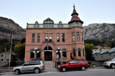 Ouray (D-1541) |
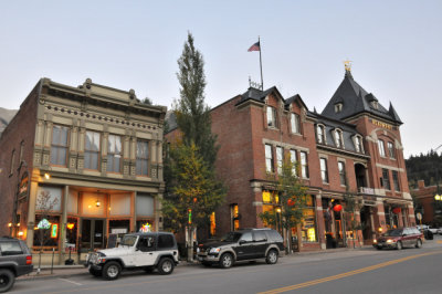 Ouray (D-1554) |
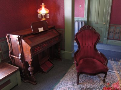
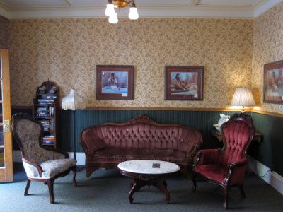
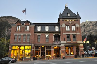 Beaumont Hotel, Ouray (D-1560) |
 Ouray (D-1562) |
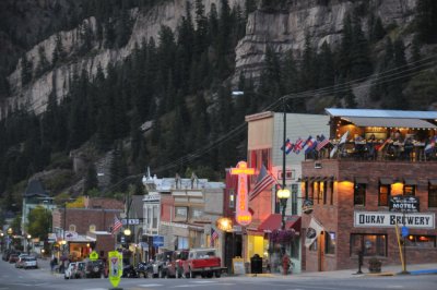 Ouray (D-1557) |
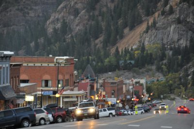 Ouray (D-1553) |
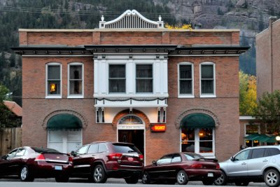 St. Elmo Hotel, Ouray (D-1546) |
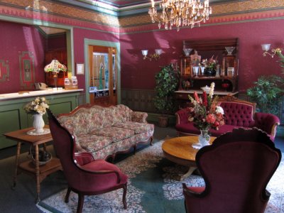 St. Elmo Hotel, Ouray (S-0495) |
 St. Elmo Hotel, Ouray (S-0498) |
 St. Elmo Hotel, Ouray (S-0506) |
 Ouray (D-1576) |
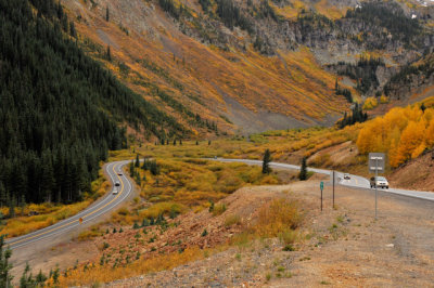
 San Juan Skyway, Route 550, Million Dollar Highway, south of Ouray (D-1580) |
 San Juan Skyway, Route 550, Million Dollar Highway, south of Ouray (D-1590) |
 Heading south on San Juan Skyway, Route 550, Million Dollar Highway, south of Ouray (D-1603) |
 Along San Juan Skyway, Route 550, Million Dollar Highway, south of Ouray (D-1605) |
 San Juan Skyway, Route 550, Million Dollar Highway, south of Ouray (D-1631) |
 San Juan Skyway, Route 550, Million Dollar Highway, south of Ouray (D-1634) |
 Along San Juan Skyway, Route 550, Million Dollar Highway, south of Ouray (D-1636) |
 Along San Juan Skyway, Route 550, Million Dollar Highway, south of Ouray (D-1640) |
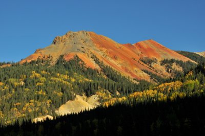
 San Juan Skyway, Route 550, Million Dollar Highway, south of Ouray (D-1646) |
 San Juan Skyway, Route 550, Million Dollar Highway, south of Ouray (D-1653) |
 San Juan Skyway, Route 550, Million Dollar Highway, south of Ouray (D-1657) |
 Along San Juan Skyway, Route 550, Million Dollar Highway, south of Ouray (D-1663) |
 San Juan Skyway, Route 550, Million Dollar Highway, south of Ouray (D-1669) |
 San Juan Skyway, Route 550, Million Dollar Highway, south of Ouray (D-1672) |
 San Juan Skyway, Route 550, north of Durango (D-1675) |
 San Juan Skyway, Route 550, north of Durango (D-1676 |
 San Juan Skyway, Route 550, north of Durango (D-1682) |
 San Juan Skyway, Route 550, north of Durango (D-1681) |
 Heading north on San Juan Skyway, Route 145, north of Dolores (S-0527) |
 San Juan Skyway, Route 145, north of Dolores (D-1700) |
 San Juan Skyway, Route 145, north of Dolores (D-1690) |
 San Juan Skyway, Route 145, north of Dolores (D-1692) |
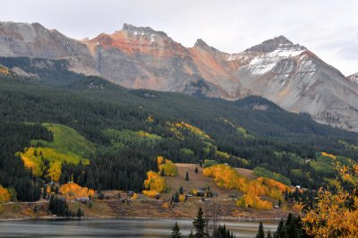
 San Juan Skyway, Route 145, south of Telluride (D-1715) |
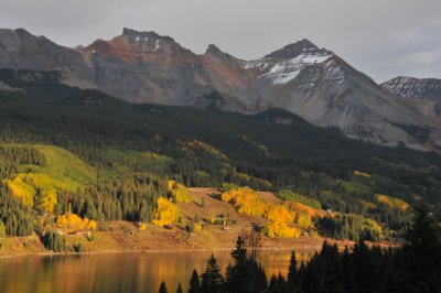
 Heading north on San Juan Skyway, Route 145, south of Telluride (D-1730) |
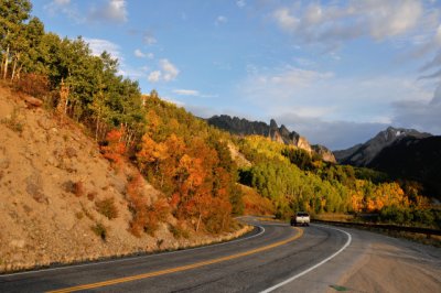
 Along San Juan Skyway, Route 145, south of Telluride (D-1720) |
 Along San Juan Skyway, Route 145, south of Telluride (D-1728) |
 Along San Juan Skyway, Route 145, south of Telluride (D-1735) |
 San Juan Skyway, Route 145, south of Telluride (D-1723) |
 San Juan Skyway, Route 145, south of Telluride (D-1753) |
 San Juan Skyway, Route 145, south of Telluride (D-1770) |
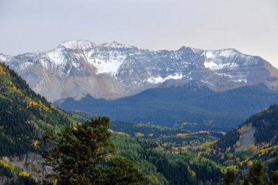 Photographed from San Juan Skyway, Route 145, south of Telluride (D-1767) |
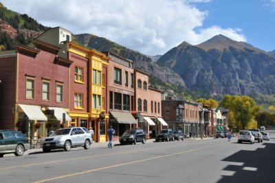 Telluride (D-1776) |
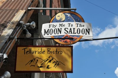 Telluride (D-1784) |
 Telluride (D-1790) |
 Telluride (D-1793) |
 Telluride (D-1800) |
 Telluride (D-1803) |
 Telluride (D-1815) |
 Telluride (D-1806) |
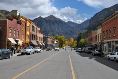 Telluride (D-1822) |
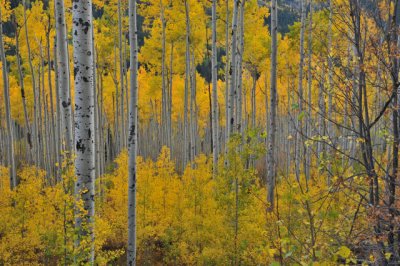
 Unaweep Tabeguache, heading north on Route 141, south of Uravan (S-0541) |
 Unaweep Tabeguache, Route 141, south of Uravan (S-0543) |
 Unaweep Tabeguache, Route 141, south of Uravan (S-0546) |
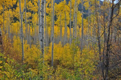
 Unaweep Tabeguache, Route 141, south of Uravan (S-0552) |
 Unaweep Tabeguache, Route 141, south of Uravan (S-0555) |
 Unaweep Tabeguache, Route 141, south of Uravan (S-0562) |
 Unaweep Tabeguache, Route 141, south of Uravan (S-0557) |
 Unaweep Tabeguache, Route 141, south of Uravan (S-0561) |
 Unaweep Tabeguache, Route 141, south of Uravan (S-0558) |
 Unaweep Tabeguache, Route 141, south of Uravan (S-0563) |
 Unaweep Tabeguache, Route 141, south of Uravan (S-0568) |
 Unaweep Tabeguache, Route 141, south of Uravan (S-0566) |
 Unaweep Tabeguache, Route 141, south of Uravan (S-0565) |
 Unaweep Tabeguache, Route 141, south of Uravan (S-0570) |
 Unaweep Tabeguache, Route 141, south of Uravan (S-0569) |
 Unaweep Tabeguache, Route 141, south of Uravan (S-0571) |
 Unaweep Tabeguache, Route 141, south of Uravan (S-0573) |
 Unaweep Tabeguache, Route 141, south of Uravan (S-0572) |
 Unaweep Tabeguache, Route 141, south of Uravan (D-1827) |
 Unaweep Tabeguache, Route 141, south of Uravan (D-1828) |
 Unaweep Tabeguache, Route 141, south of Uravan (D-1835) |
 Unaweep Tabeguache, heading north on Route 141, south of Gateway (D-1838) |
 Unaweep Tabeguache, Route 141, south of Gateway (D-1839) |
 Unaweep Tabeguache, Route 141, south of Gateway (D-1845) |
 Unaweep Tabeguache, Route 141, south of Gateway (D-1848) |
 Unaweep Tabeguache, Route 141, south of Gateway (D-1855) |
 Unaweep Tabeguache, Route 141, south of Gateway (D-1858) |
 Unaweep Tabeguache, Route 141, south of Gateway (D-1861) |
 Unaweep Tabeguache, Route 141, south of Gateway (D-1870) |
 Unaweep Tabeguache, Route 141, south of Gateway (D-1875) |
 Unaweep Tabeguache, Route 141, south of Gateway (D-1876) |
 Unaweep Tabeguache, Route 141, south of Gateway (D-1880) |
 Unaweep Tabeguache, Route 141, south of Gateway (D-1886) |
 Unaweep Tabeguache, Route 141, south of Gateway (D-1889) |
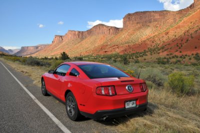
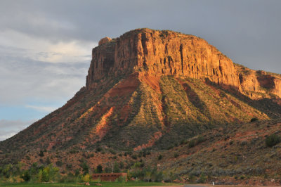
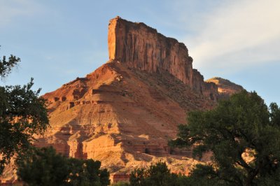 Gateway (D-2132) |
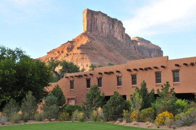 Gateway Canyons Resort (D-2151) |
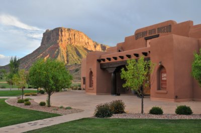
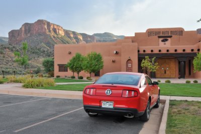 Gateway Auto Museum ... Its fabulous cars are featured in a separate gallery. (D-2155) |
 Gateway Auto Museum ... Its fabulous cars are featured in a separate gallery. (D-2163) |
 Gateway (D-2181) |
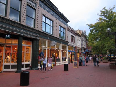 Boulder (S-0581) |
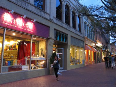 Boulder (S-0593) |
 Boulder (S-0594) |
 Boulder (S-0596) |
 Boulder (S-0598) |
 Boulder (S-0605) |
 Appenzell Inn in Estes Park (S-0623) |
 Along Trail Ridge Road, US-34, Rocky Mountain National Park, west of Estes Park (D-2347) |
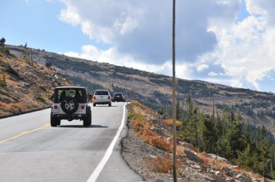 Trail Ridge Road, US-34, Rocky Mountain National Park, west of Estes Park (D-2351) |
 Trail Ridge Road, US-34, Rocky Mountain National Park, west of Estes Park (D-2354) |
 Trail Ridge Road, US-34, Rocky Mountain National Park, west of Estes Park (D-2363) |
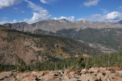
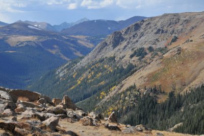
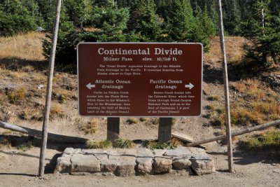 Continental Divide, Milner Pass, Trail Ridge Road, US-34, Rocky Mountain National Park, west of Estes Park (D-2385) |
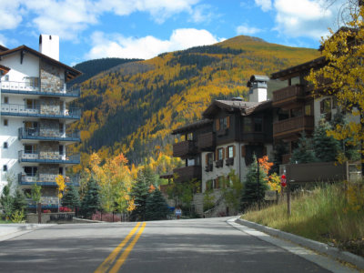
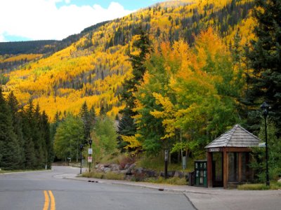
 Vail, along I-70, east side (D-2407) |
 Vail, along I-70, east side (D-2412) |
 Vail, along I-70, east side (D-2413) |
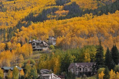
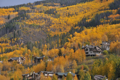
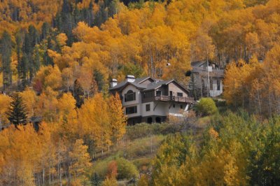
 Vail (S-0660) |
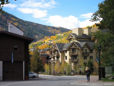 Vail (S-0663) |
 Vail (S-0668) |
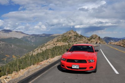
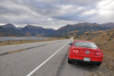
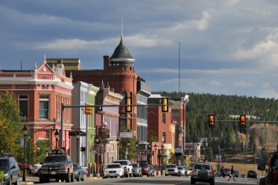 Top of the Rockies, US-24, Leadville, 10,200 feet, highest incorporated community in the U.S. (D-2418) |
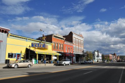 Top of the Rockies, US-24, Leadville, 10,200 feet, highest incorporated community in the U.S. (D-2426) |
 Top of the Rockies, US-24, Leadville, 10,200 feet, highest incorporated community in the U.S. (D-2428) |
 Top of the Rockies, US-24, Leadville, 10,200 feet, highest incorporated community in the U.S. (D-2435) |
 Top of the Rockies, US-24, Leadville, 10,200 feet, highest incorporated community in the U.S. (D-2439) |
 Top of the Rockies, Route 82, Twin Lakes (D-2447) |
 Top of the Rockies, Route 82, west of Twin Lakes (D-2452) |
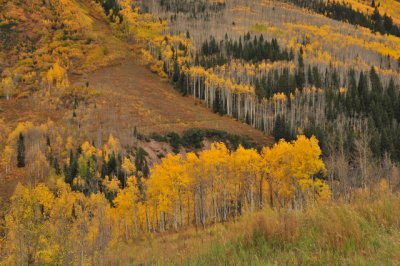
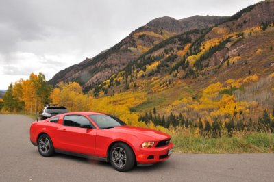
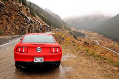
 Top of the Rockies, heading west on Route 82, east of Aspen (D-2470) |
 Top of the Rockies, Route 82, east of Aspen (D-2464) |
 Top of the Rockies, Route 82, east of Aspen (D-2476) |
 Top of the Rockies, Route 82, east of Aspen (D-2473) |
 Top of the Rockies, along Route 82, east of Aspen (D-2487) |
 Top of the Rockies, along Route 82, east of Aspen (D-2494) |
 Top of the Rockies, Route 82, east of Aspen (D-2495) |
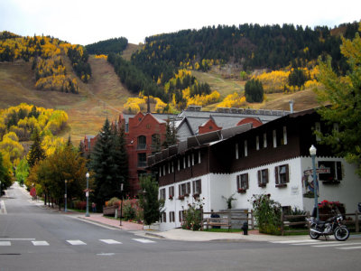
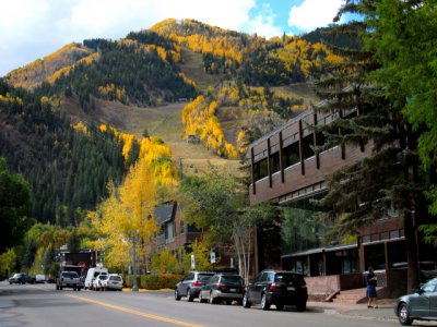 Top of the Rockies, Aspen (S-0702) |
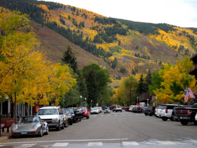
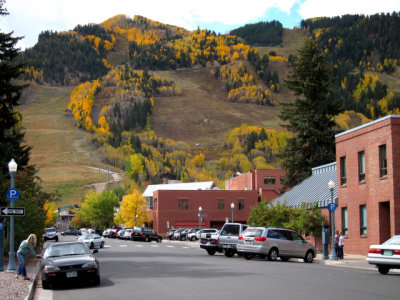 Aspen (S-0706) |
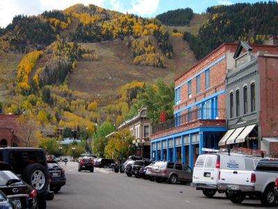 Aspen (S-0707) |
 Aspen (S-0712) |
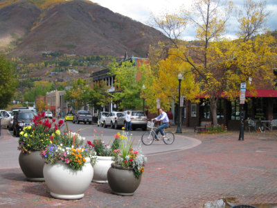 Aspen (S-0715) |
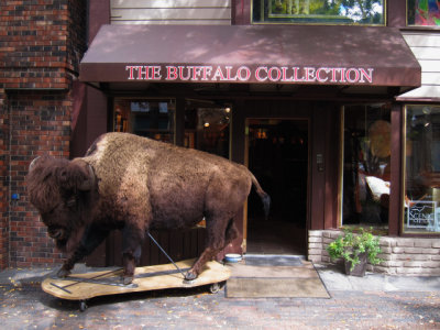
 Aspen (S-0722) |
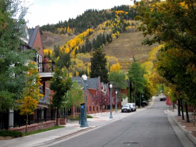 Aspen (S-0724) |
 Aspen (S-0728) |
 Aspen (S-0731) |
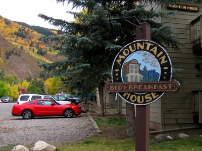 Mountain House Bed & Breakfast in Aspen (S-0730) |
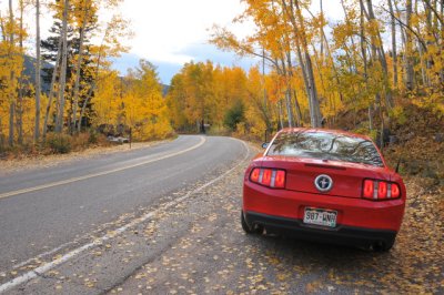
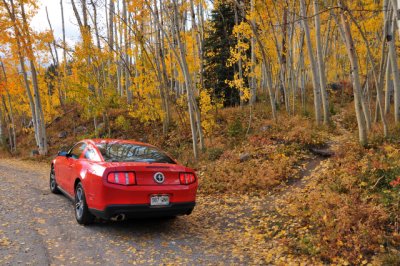
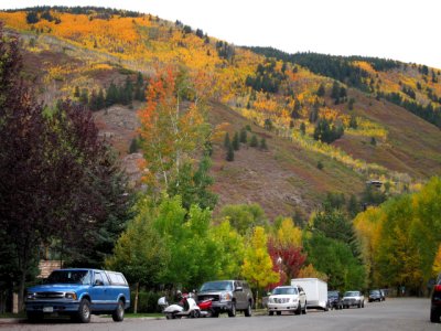
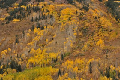
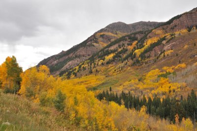
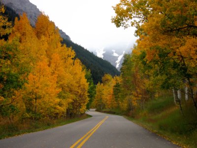 Maroon Creek Road, northwest of Aspen (S-0733) |
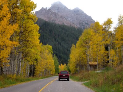 Maroon Creek Road, northwest of Aspen (S-0736) |
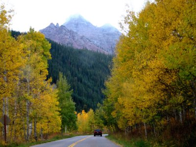 Maroon Creek Road, northwest of Aspen (S-0737) |
 Along Maroon Creek Road, northwest of Aspen (D-2506) |
 Along Maroon Creek Road, northwest of Aspen (D-2507) |
 Along Maroon Creek Road, northwest of Aspen (D-2515) |
 Maroon Creek Road, northwest of Aspen (D-2516) |
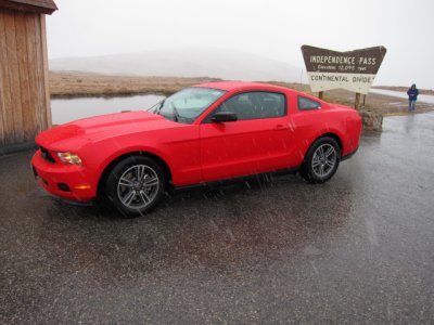 Top of the Rockies, Route 82, Independence Pass, elevation 12,095 feet, east of Aspen (S-0743) |
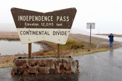 Continental Divide, Independence Pass, 12,095 feet, Top of the Rockies, Route 82, east of Aspen, light snowfall (S-0745) |
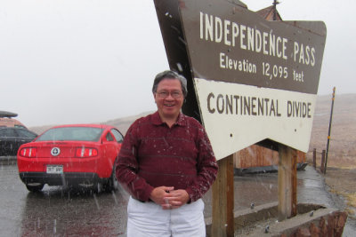 Continental Divide, Independence Pass, 12,095 feet, Top of the Rockies, Route 82, east of Aspen, light snowfall (S-0747) |
 Top of the Rockies, Route 82, east of Independence Pass and Aspen (D-2528) |
| comment |
| Dan Greenberg | 05-Nov-2011 06:51 | |