


|
|
|
|
|
|
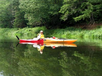
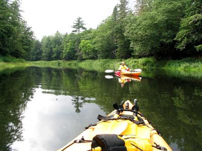
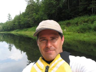
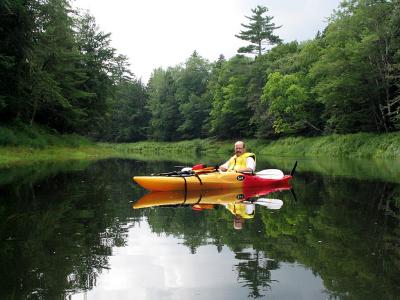
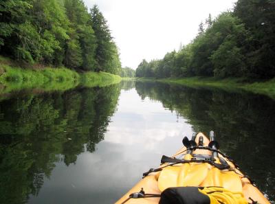
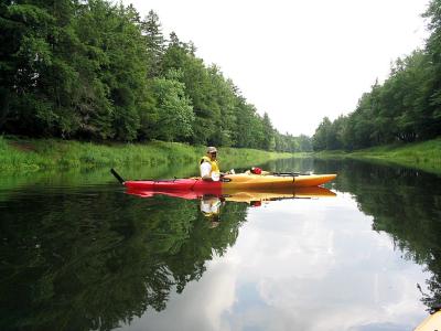
| Craig Mosher | profile | all galleries >> Freshwater Kayaking >> Stewiacke River, 2003 | tree view | thumbnails | slideshow |
 IMG_1491_1024.jpg |
 IMG_1492_1024.jpg |
 IMG_1494_1024.jpg |
 IMG_1497_1024.jpg |
 IMG_1499_1024.jpg |
 IMG_1502_1024.jpg |
| comment | share |
| Craig Mosher | 22-Nov-2006 00:47 | |
| Guest | 20-Nov-2006 21:42 | |