


|
|
|
|
|
|
| Ruth Moorhead | profile | all galleries >> Idaho -- Southern and Eastern >> Portneuf River | tree view | thumbnails | slideshow |
 Portneuf River at Osprey Grotto |
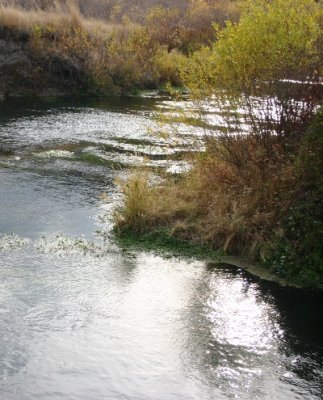
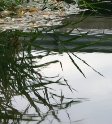 River-edge Grasses, Reflected |
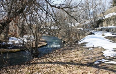
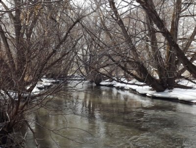
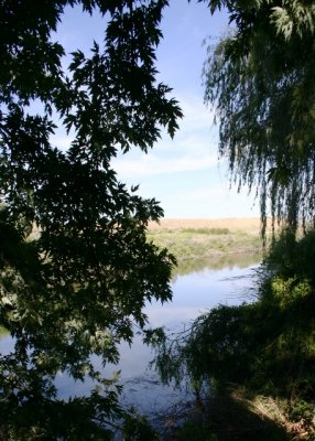 River View |
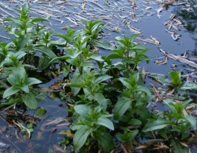 River-edge Emergents |
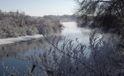
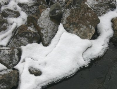 Ice Pearls in February |
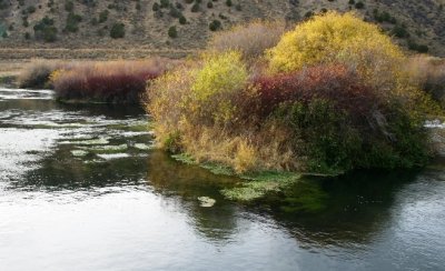
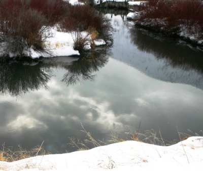
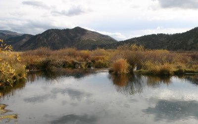 October Reflection, Portneuf River |
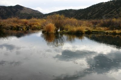 Portneuf River Serenity |
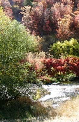
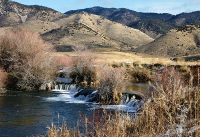
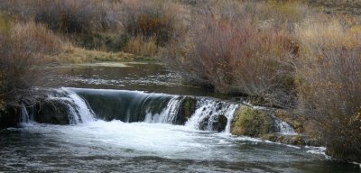 Water Tumbles over Reef |
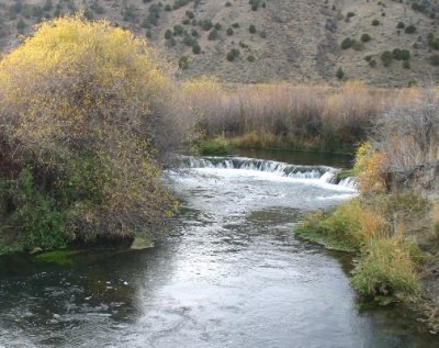 Portneuf River Cascades over Travertine Reef |
 |
 |
 |
 The Tubers' Put-in |
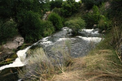
 Cascades in the Portneuf River |
 |
 |
 |
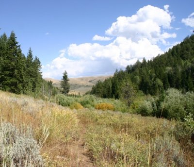
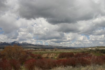
Toponce Creek Watershed |
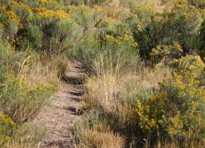 Common Rabbitbrush |
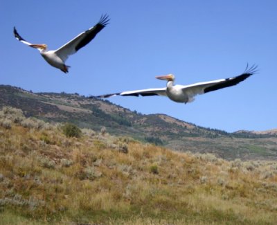 Pelicans Flee |
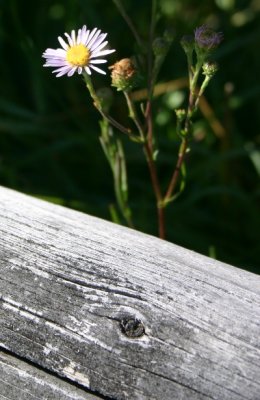 Aster? Hoary Aster? |
 Portneuf River at Ft. Hall Mine Rd., Northward |
 Portneuf River Looking South from Ft. Hall Mine Road |
 |
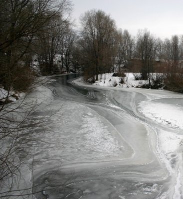
 South from Syphon Road Bridge |
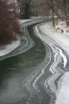
 Portneuf River North of Pocatello |
| comment |