photo sharing and upload picture albums photo forums search pictures popular photos photography help login
Ruth Moorhead | profile | all galleries >> Colorado >> Metropolitan Denver >> Highline Canal Trail tree view | thumbnails | slideshow

Highline Canal Trail

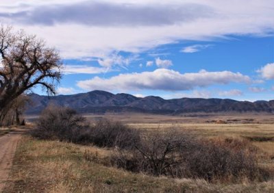
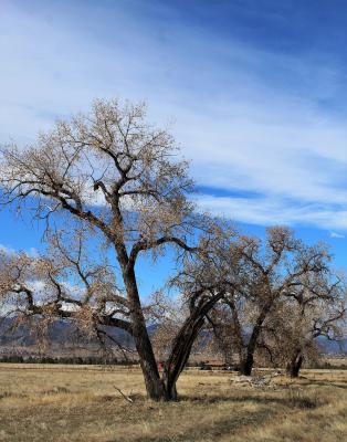
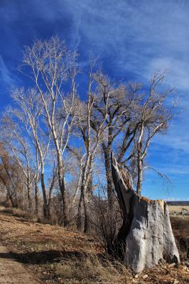
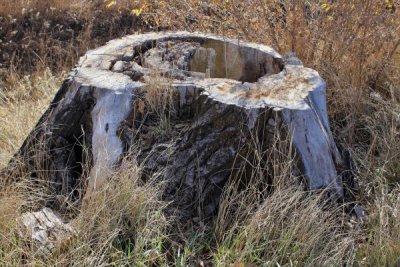
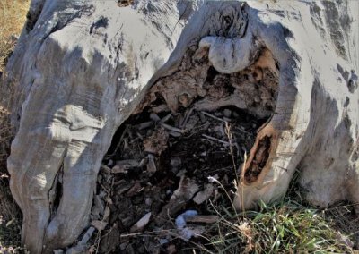
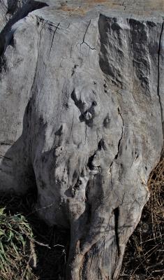
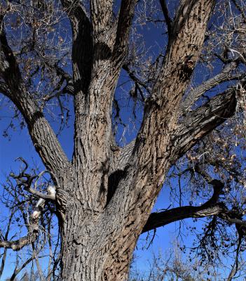
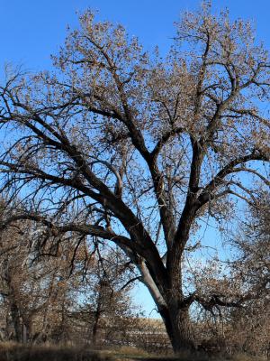
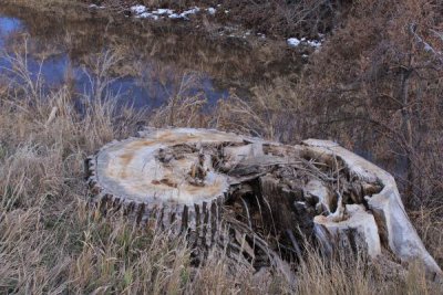
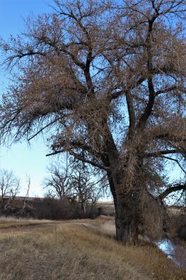
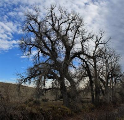
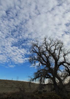
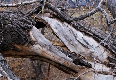
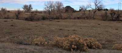
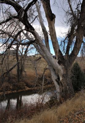
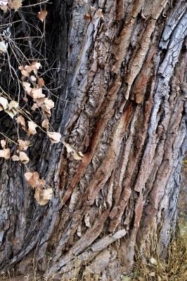
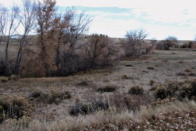
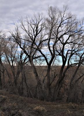
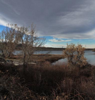
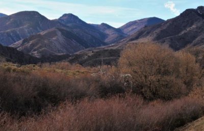
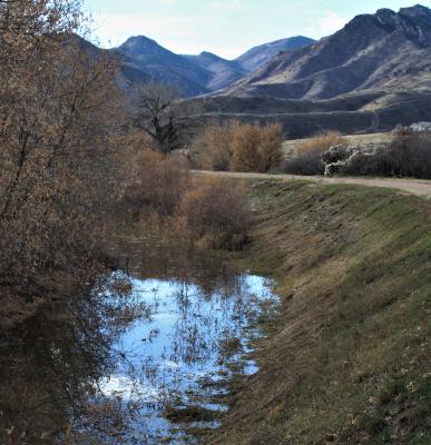
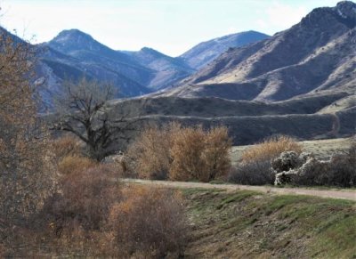
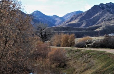
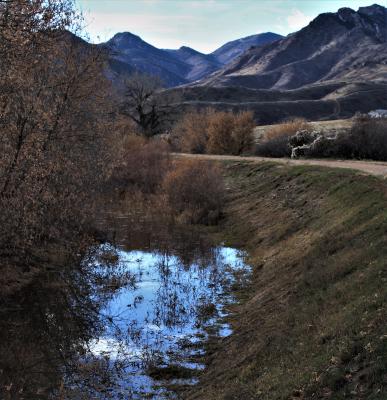
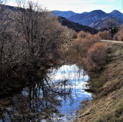
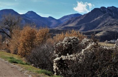
Carrying Platte River water to Denver used to be the function of this canal between Waterton Canyon and Aurora, crossing several counties on its way. Now, a 71-mile trail, said to be accessible for most of its length, follows the same path. I traversed 5 miles of it on All Saints' Day, 2018. I saw water in parts of it, and mile markers 6 through 3, but no other information about the history of the canal or trail. I don't even know if I reached the start of the trail, although I did come to a parking lot and no accessible trail beyond that. Still, I consider it a good start.

g10/11/419411/3/168365869.SRJpCQSv.jpg o10/11/419411/1/168365870.giWPVfad.IMG_7170b.jpg o10/11/419411/1/168365871.YdnYrVO4.IMG_7171a.jpg g10/11/419411/3/168365872.XL09c1iF.jpg g10/11/419411/3/168365873.96NjQhyD.jpg
o10/11/419411/1/168365874.rd3AoUVm.IMG_7177a.jpg o10/11/419411/1/168365875.PcFQhZ0U.IMG_7178a.jpg o10/11/419411/1/168365877.0MCcSXUL.IMG_7180b.jpg g10/11/419411/3/168365880.Jy0CHliB.jpg o10/11/419411/1/168365881.eiyaIyWl.IMG_7186c.jpg
g10/11/419411/3/168365882.dHO8Eggp.jpg o10/11/419411/1/168365883.l6BjG21t.IMG_7191b.jpg g10/11/419411/3/168365884.dyA4O6Jb.jpg o10/11/419411/1/168365885.7onVhcwv.IMG_7196b.jpg g10/11/419411/3/168365886.J6LmVQBW.jpg
o10/11/419411/1/168365887.UqcNDZe6.IMG_7198b.jpg o10/11/419411/1/168365888.S66QGC87.IMG_7200b.jpg g10/11/419411/3/168365889.6K7HT93g.jpg o10/11/419411/1/168365890.BP18vFAg.IMG_7202b.jpg o10/11/419411/1/168365891.JxNE9Ez3.IMG_7206a.jpg
g10/11/419411/3/168365892.svCrHTJo.jpg o10/11/419411/1/168365893.9yluHsoz.IMG_7211c.jpg g10/11/419411/3/168365914.VVgr9vRX.jpg g10/11/419411/3/168365915.XBdbjUsM.jpg o10/11/419411/1/168365916.FgwjQJCt.IMG_7211e.jpg
g10/11/419411/3/168365917.Q90z5tcj.jpg g10/11/419411/3/168365918.p8PBSZw5.jpg