


|
|
|
|
|
|
| Lionel Yearwood | profile | all galleries >> Galleries >> Kasha-Katue Tent Rocks National Monument - North-Central New Mexico | tree view | thumbnails | slideshow |
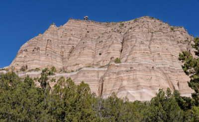
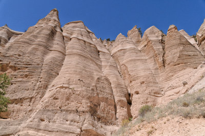
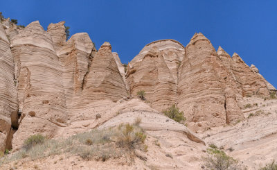
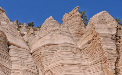
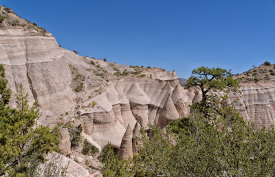
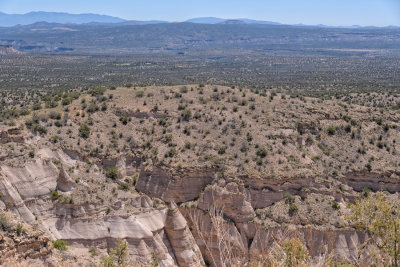
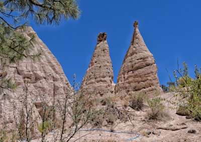
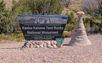 Kasha-Katue Tent Rocks National Monument |
 |
 |
 |
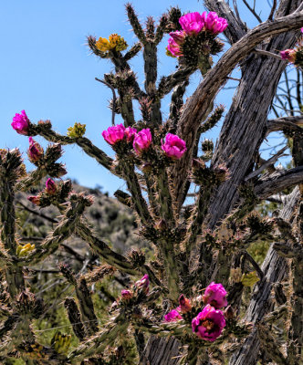 Cholla (Tree Cactus) |
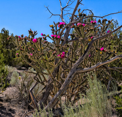 Cholla Bush |
 |
 |
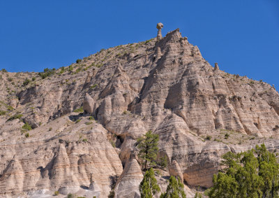 |
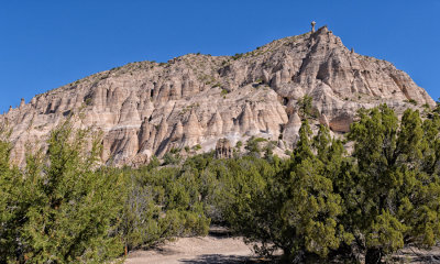
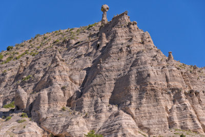
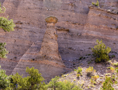
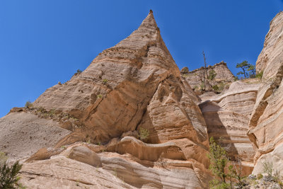
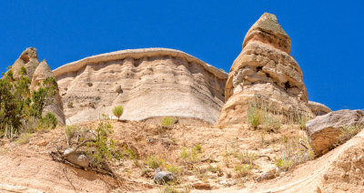
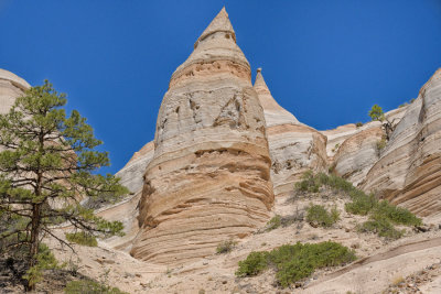
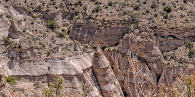
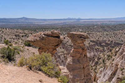
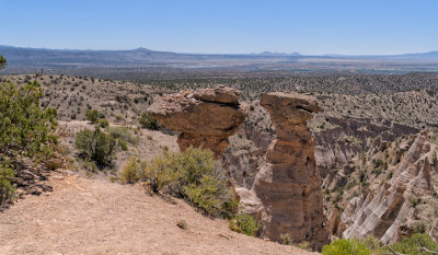
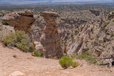
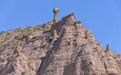 Hoodoo |
 |
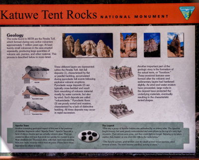
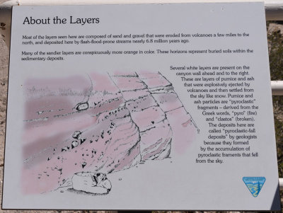
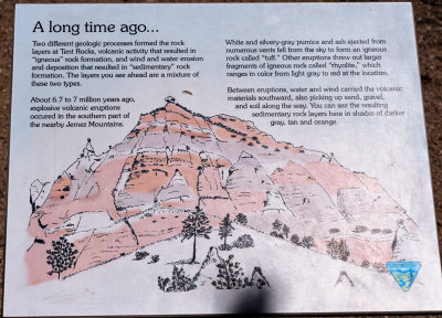 This drawing describes what you see in the previous photo |
 |
 |
 |
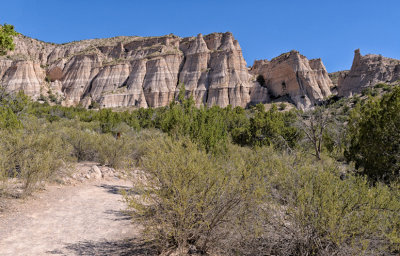 |
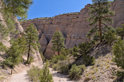
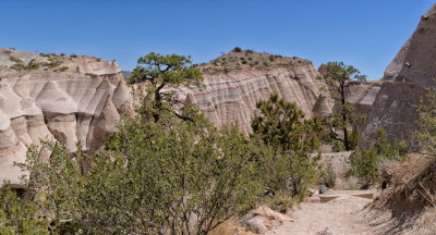
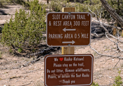 Start of the Slot Canyon Trail trek |
 |
 |
 |
 |
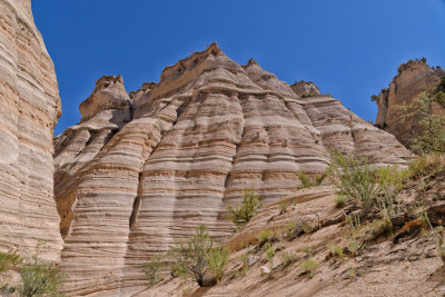
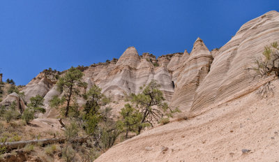
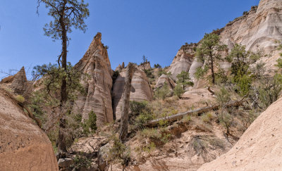
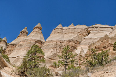
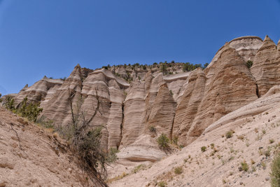
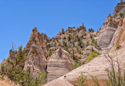
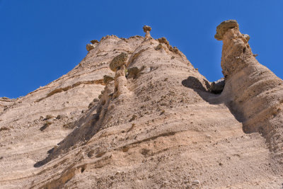 Hoodoos |
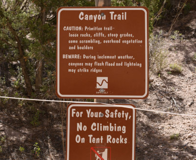 Canyon Trail Sign says -- MORE DIFFICULT |
 Canyon Trail |
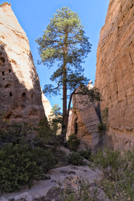
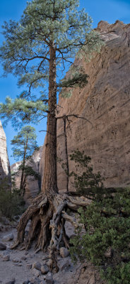 Tree growing in Slot |
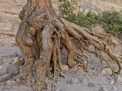 Tree Roots |
 |
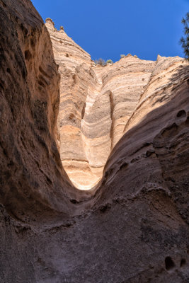 Looking up |
 |
 |
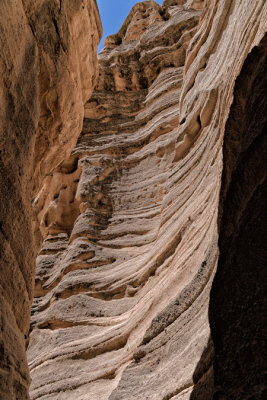
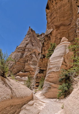
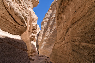 Slot Canyon narrow passageway |
 Slot Canyon |
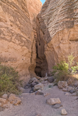 Slot Canyon pathway |
 On the climb to the top |
 |
 |
 |
 |
 |
 |
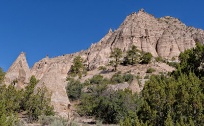
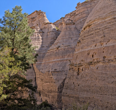
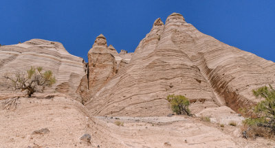
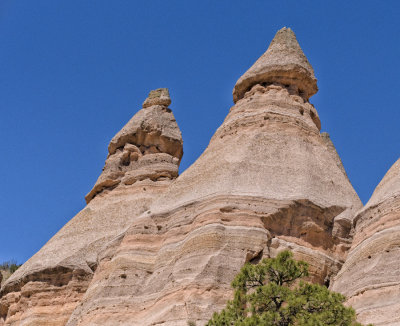
 Tent Rock Hoodoos |
 Tent Rock Hoodoos |
 |
 Tent Rocks up close |
 |
 |
 |
 |
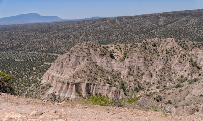
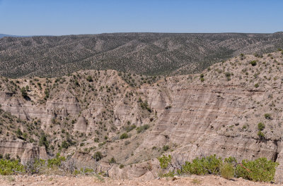
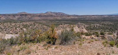 Views From the Top |
 |
 |
 |
 |
 |
 Top of hoodoo from the top |
 |
 |
 On the way back down |
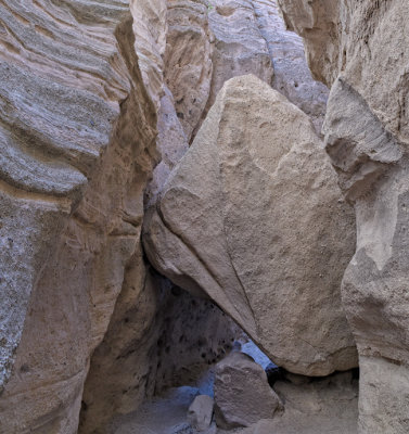
 Slot on the way back down |
 Tent Rocks |
 |
 |
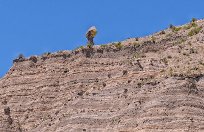 Hoodoo |
| comment | share |