


|
|
|
|
|
|
| Lionel Yearwood | profile | all galleries >> Galleries >> Niagara Falls 1969 | tree view | thumbnails | slideshow |
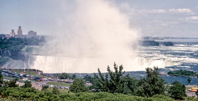 Horseshoe Falls |
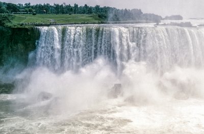 Horseshoe Falls |
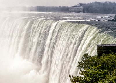 Horseshoe Falls |
 American Falls just dripping and Bridal Veil Falls dry (1969) |
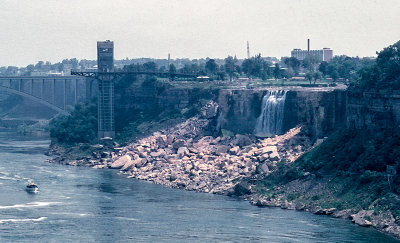 American Falls just dripping and Bridal Veil Falls dry |
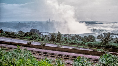 Horseshoe Falls |
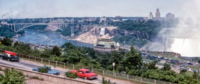
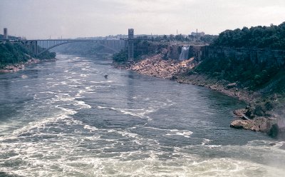 Rainbow Bridge and dried up Falls |
 Horseshoe Falls |
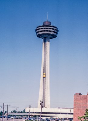 Observation Tower |
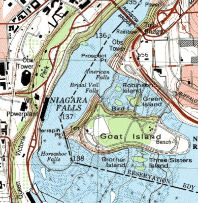 USGS survey map of Niagara Falls |
| comment | share |