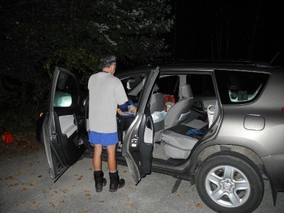
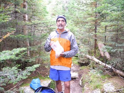
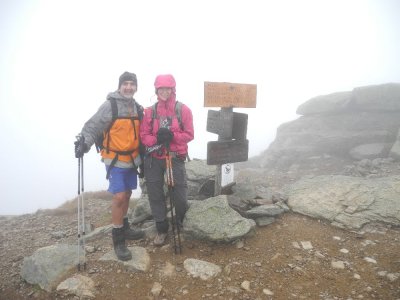
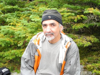
This was a 31.5 mile hike with 9,160 feet of elevation gain. We slept
in the back of the Rav 4 the night before with our sleeping pads and
bags and were on the trail by 4:00am completing it in 17:30, book time
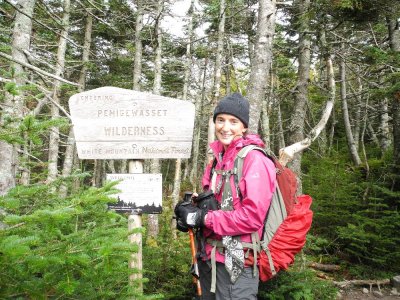
is 20:15. We started at Linclon Woods going over Flume, Little
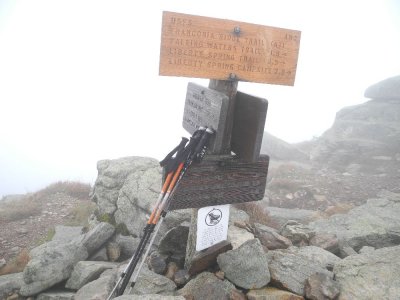
Haystack, Liberty, Lincoln and Lafayette. We continued on to
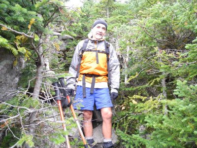
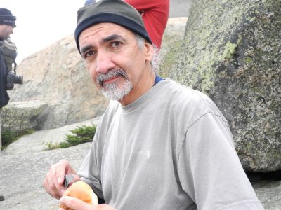
Garfield, Galehead and ate some well deserved warm soup at the hut,
then continued up South Twin (torture for Kathy), then over Guyot to
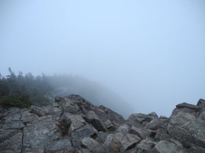
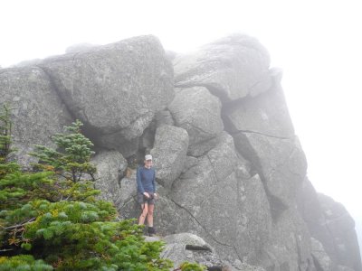
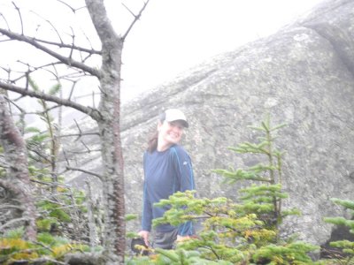
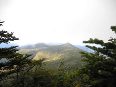
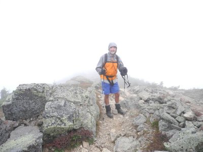
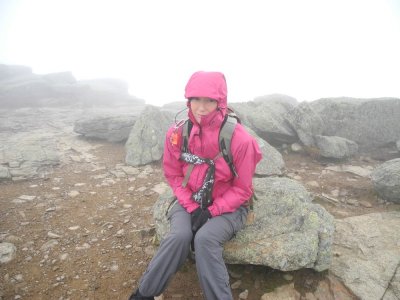
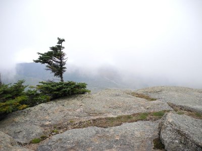
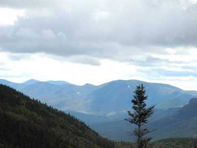
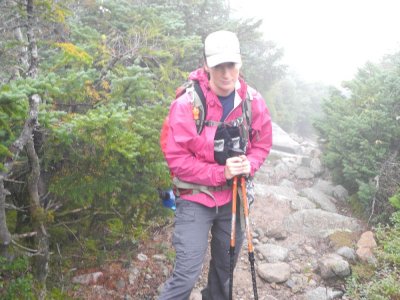
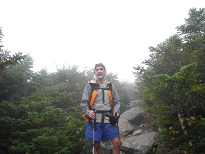
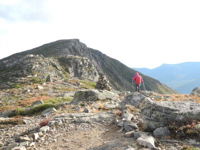
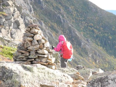
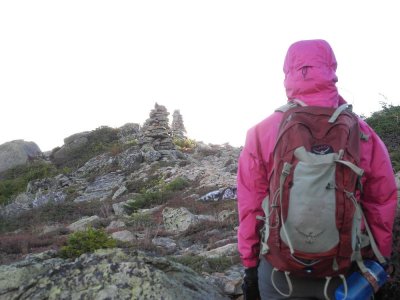
the Bonds (West Bond, Bond, and Bondcliff).. We faced light rain,
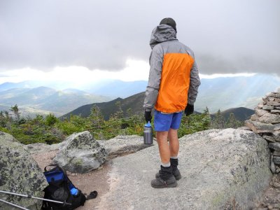
clouds, fog, cooler temperatures and high winds. The sun finally came
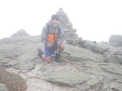
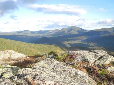
out at the end of the day as we approached Guyot which gave us great
views from the Bonds. We were knocked over on Bondcliff with a gust
of wind that we guessed had to be 60-70 mph. The longest part of the
hike was the last 5-mile flat stretch in the dark. We finished at
9:30pm, grabbed a pizza and found a parking lot off the Kancamagus
Highway to sleep until the sun came up the next day. We stopped at
Starbucks for a nice cup of coffee and a hot chocolate and had a nice
ride home.


.jpg)