


|
|
|
|
|
|
| Mark Merritt | profile | all galleries >> American Civil War Battlefields >> Antietam Visit | tree view | thumbnails | slideshow |
| previous page | pages 1 2 3 4 5 6 7 8 9 ALL | next page |
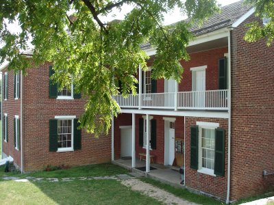
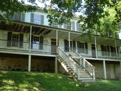
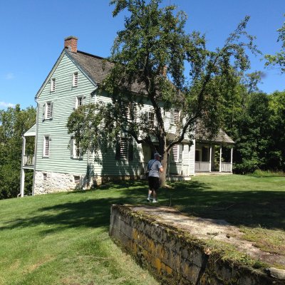
 Pry House, General McClellan's HQ |
 Back of Pry House |
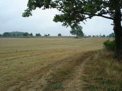
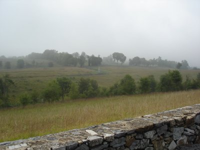
 View of Cornfield from Pry House |
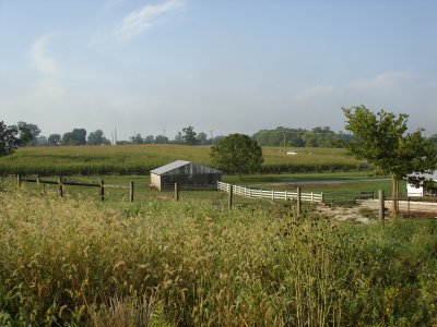
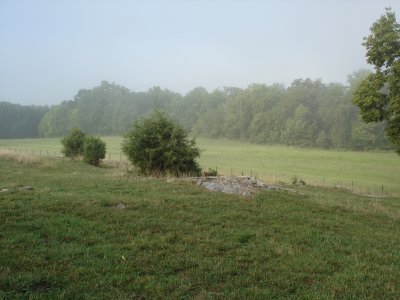
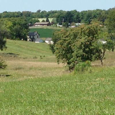
 Joseph Poffenberger Farm |
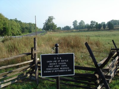 Forming up area of Meads Division, Sep 16 |
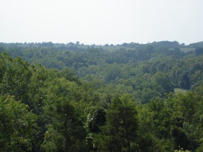
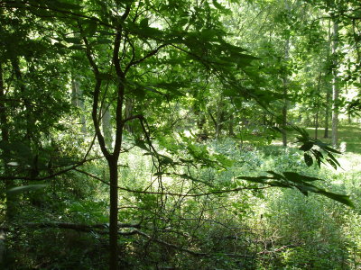
 West side of North Woods; woods being restored |
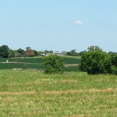
 North edge of North Woods, looking toward the Miller Farm |
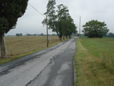
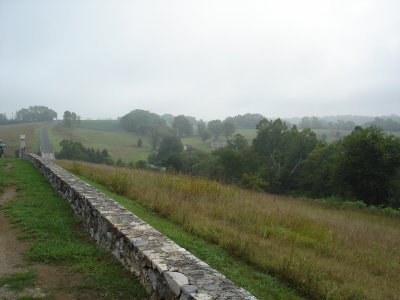
 The start of the Cornfield Trail |
 East Woods looking toward Cornfield |
 Looking towards East Woods, from Cornfield |
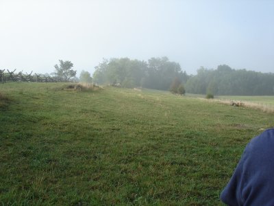
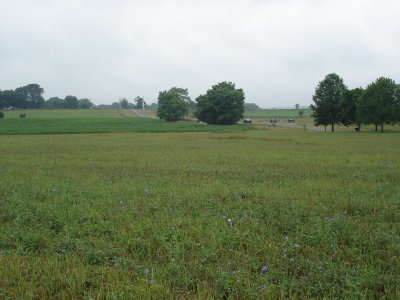
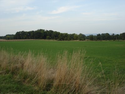 View from fallow Cornfield |
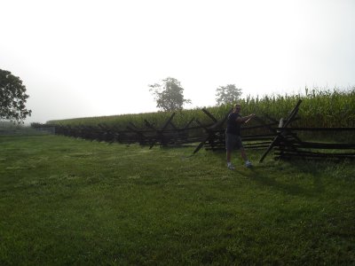
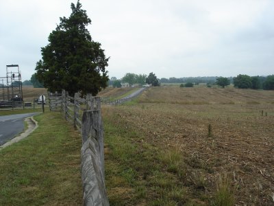
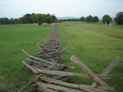 Cornfield, southern fence line |
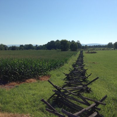 Along Cornfield Fence Towards East Woods |
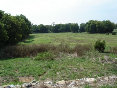
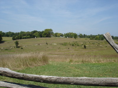
 The Bloody Cornfield |
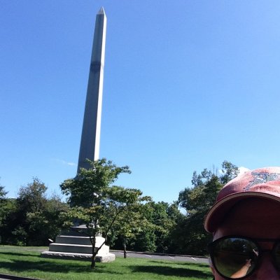
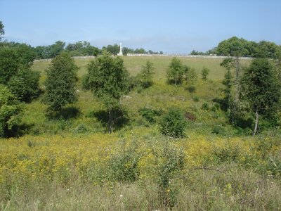
 Me at Texas Monument |
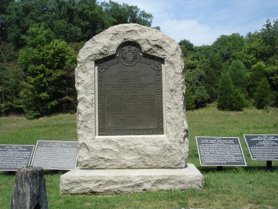
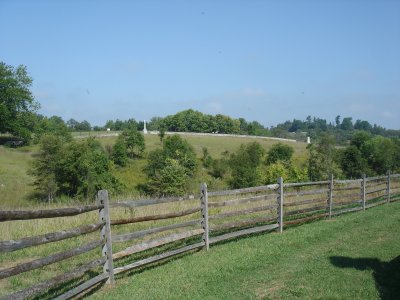
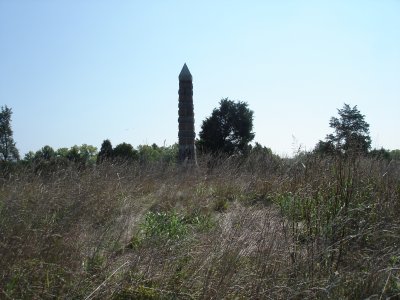
 Hoods Division Marker |
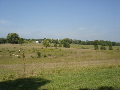
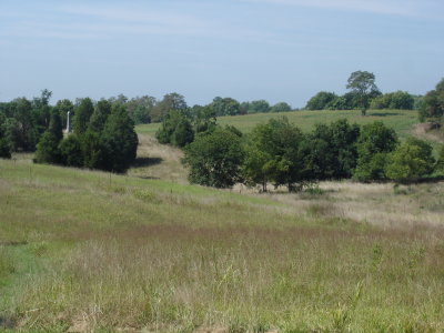
 Towards the Mumma Farm |
 Cornfield |
 Toward the Miller Farm, the path the 6th Wisconsin took |
 South toward Miller Farm Barn |
 Miller barn and areas West of the Hagerstown Pike |
 West Woods, Miller Barn |
 West Woods from Hagerstown Pike |
 West Woods beyond Miller Barn |
 Philadelphia Brigade Monument |
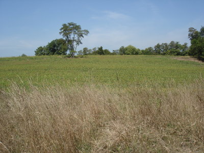
 Cornfield from Miller farm |
 Cornfield from Hagerstown Road |
 West Woods cutback; notice rock ledges |
 West woods and rockledges |
 Miller Farm, through the cornfield |
 Alfred Poffenberger Barn, west of Hagerstown Pike |
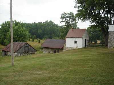
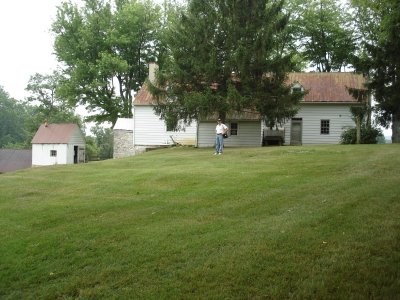
 Spring house and A. Poffenberger house |
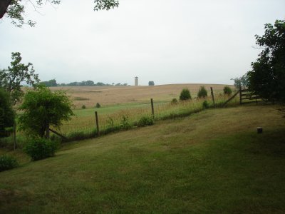
 View south from A. Poffenberger House |
 Hauser Ridge |
 The Mumma House and Graveyard |
 34th NY Monument, West Woods |
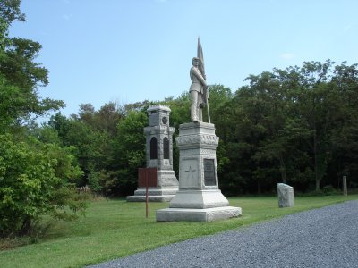 34th NY and 125th Penn. Monuments, West Woods |
 View North, toward the North Woods |
 View down Smoktown Road toward the Dunkard Church |
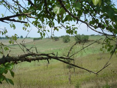
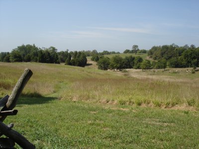
 View of cornfield in the distance; the killing field |
 View towards Mumma Farm, from D.H. Hills position |
 Roullet Farm |
 Piper Orchard from Piper House Lane |
 Sunken Road from Piper House Lane |
 Piper House and Piper Orchard from Sunken Road |
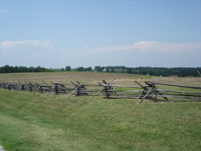
 Sunken Road and Piper Orchard |
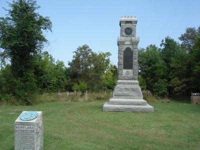
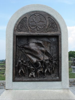 Irish Brigade Monument, Sunken Road |
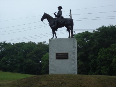
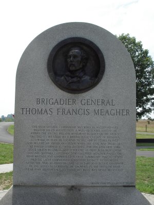 Thomas Francis Meagher |
 Piper Orchard from Sunken Road |
 Mumma House from Sunken Road |
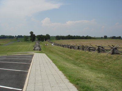 Sunken Road |
 Ken at Roullet House |
 View toward Sunken Road at Roullet House |
 Front of Roullet House |
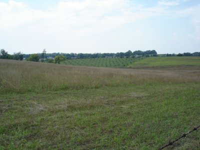
 Roullet fields that the Irish Brigade charged through |
 Piper House, West of Sunken Road |
 Park HQ, Sunken Road to Right |
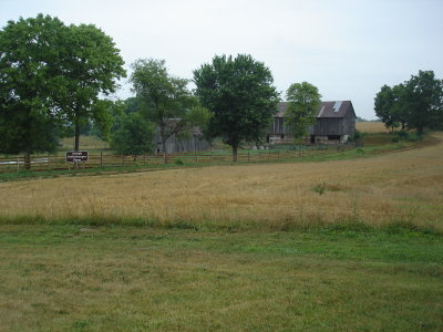
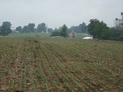
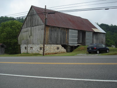 The Newcommer barn, near Middle Bridge |
 Sheperdstown, across the Potomac |
 Boetler's Ford across the Potomac |
 Antietam Creek discharging into the Potomac |
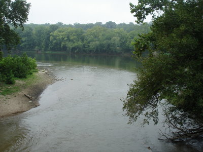 Antietam Creek discharging into the Potomac |
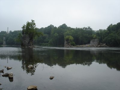
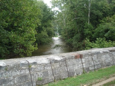 Looking upstream at the Antietam from the B&O Canal Bridge |
 Otto House |
 Otto House |
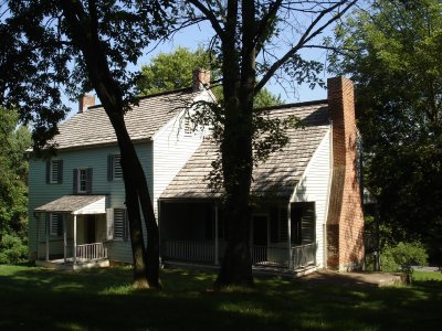 Otto House |
 Ken at Otto House |
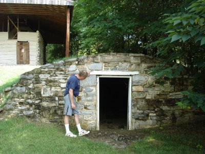
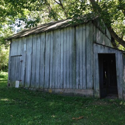 Old Shed at Otto House |
 The strange Lee monument |
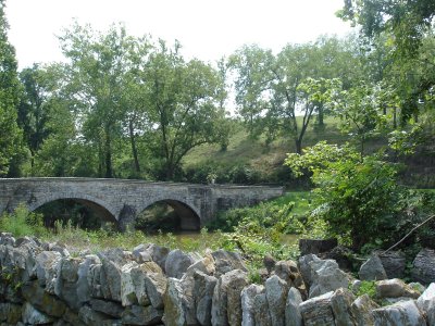
 Burnside's Bridge from quarries |
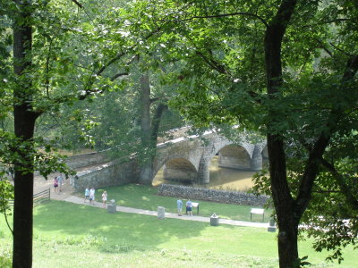
 Burnside's Bridge from Federal Line |
 Burnside Bridge from position of 51st NY Charge |
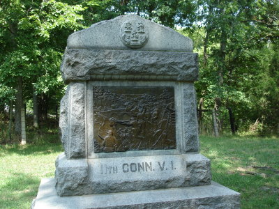 11th Conn. monument, Burnside Bridge |
 Swale where the two 51st units (New York and Penn.) came out and approached bridge |
 51st NY monument |
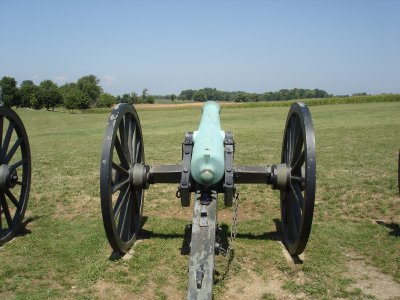
 Cannon on Branch Avenue |
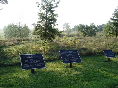
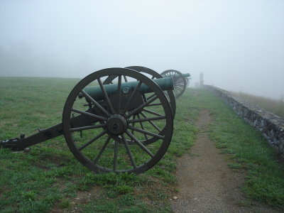
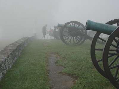
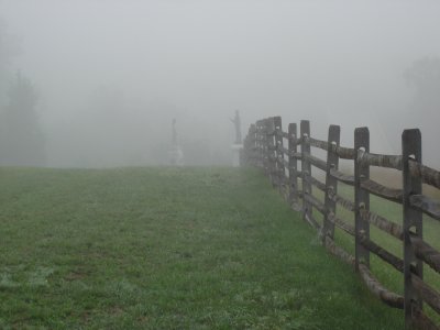 Monuments in the fog |
 Ken cooking breakfast |
 Ohio Monument on Otto Lane |
 Otto and Sherrick Houses |
 Federal view of Sharpsburg during 9th corps attack |
 Hill where Sharpsbug National Cemetary stands |
 Branch Avenue from Otto Lane |
 Branch Avenue from Otto Lane |
 9th NY (Hawkins Zouaves) monument |
 View of 16th Conn. monument from Otto Lane |
 Close up view of 16th Conn. monument from Otto Lane |
 View east within 40 acre cornfield, next to 16th Conn. monument |
 16th Conn. monument from 12th SC. position |
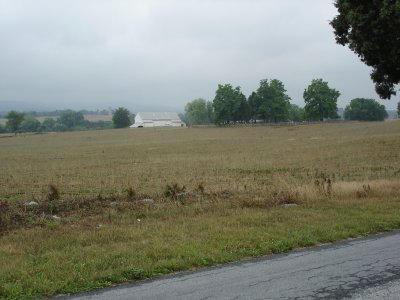
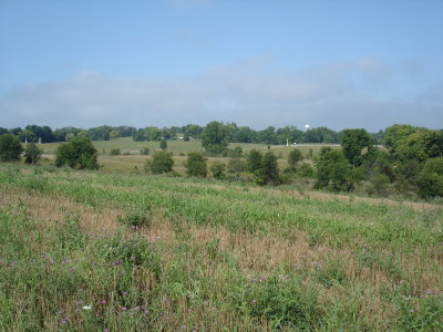
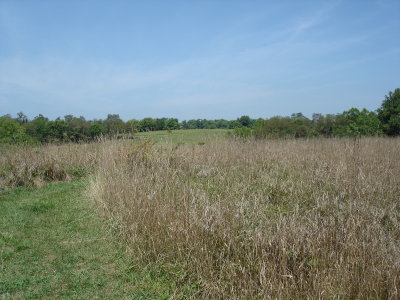
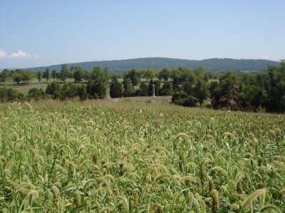
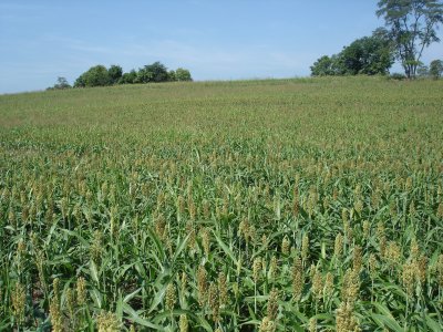 40 acre cornfield (sorgum planted currently) |
 40 acre cornfiled, showing swale |
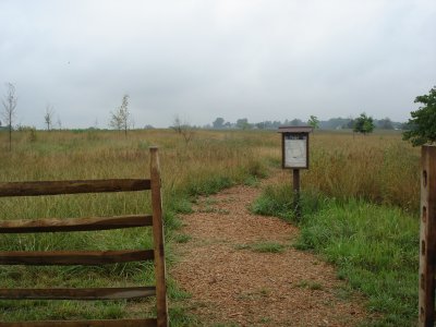
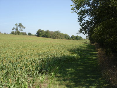
 NPS border, 40 acre cornfield |
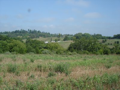
 Harland's brigade view of 40 acre cornfield |
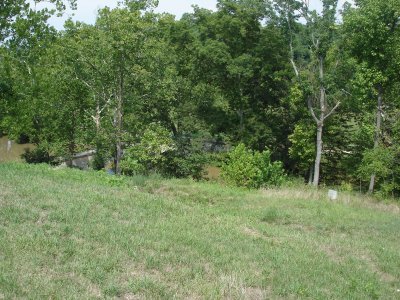
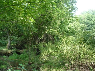
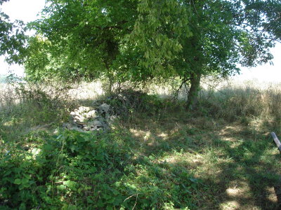
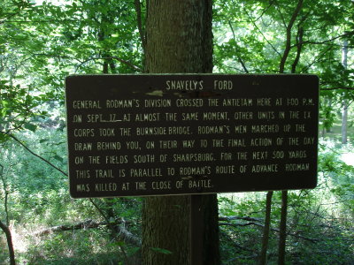 Snavely's ford |
 Snavely's Ford |
 View of 40 acre cornfield, 16th conn. monument in center |
 View north along 40 acre cornfield |
 Display at west side of 40 acre cornfield |
 Branch Avenue from Otto Lane |
 16th Conn. monument through 40 acre cornfield |
 From the Direction of AP Hills Attack |
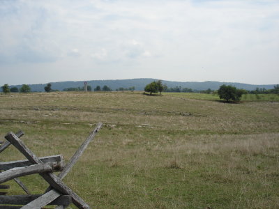
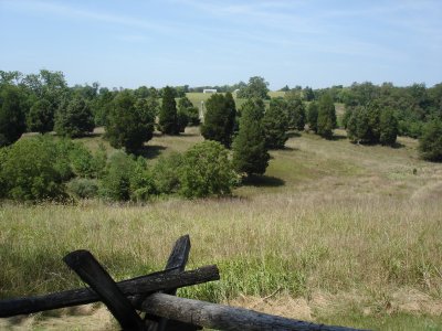
 View Towards 40 Acre Cornfield, South of Sharpsburg |
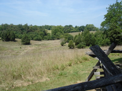
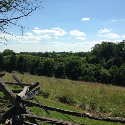 Direction from Where Gregg's Brigade Attacked 4th Rhode Island |
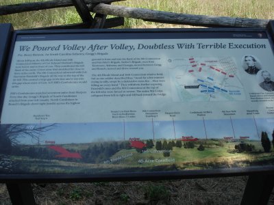
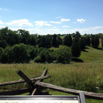
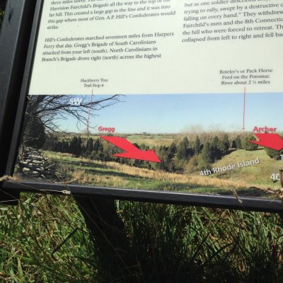 Sign Explaining Such |
 Federal artillery position overlooking Sharpsburg |
| previous page | pages 1 2 3 4 5 6 7 8 9 ALL | next page |
| comment | share |
| Paolo Peggi (aka Bracciodiferro) | 13-Nov-2011 08:04 | |