


|
|
|
|
|
|
| Mister Max | profile | all galleries >> The Cynwyd Train Station and the Cynwyd Trail are on Track >> The Cynwyd Heritage Trail >> The Cynwyd Trail - in 2008 and 121 years history | tree view | thumbnails | slideshow |
| previous page | pages 1 2 3 4 ALL | next page |
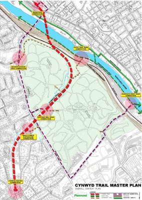 Cynwyd Trail Master Plan |
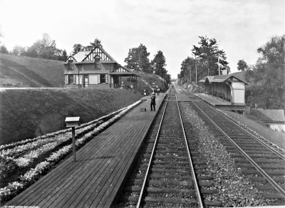
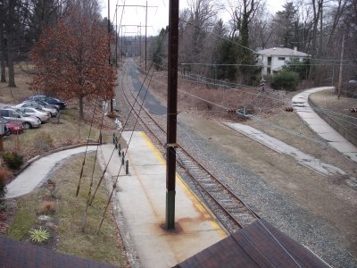 The Track at CynwydStation |
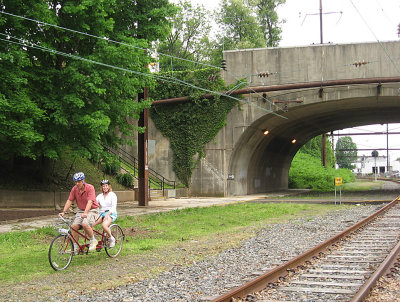 Entering the trail on a tandem at Cynwyd Station |
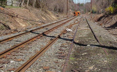 Replacing the track in 2003 |
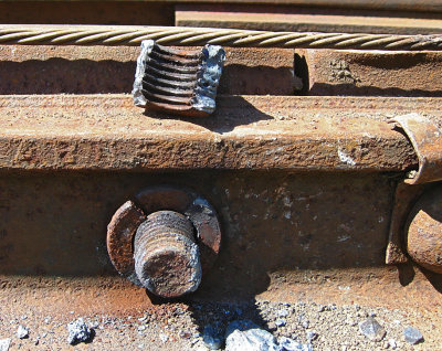 Cutting apart the rails so they can be removed |
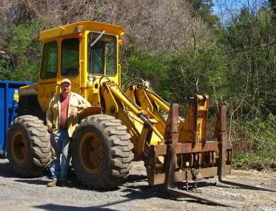 This fork lift and driver lifted the rails and carried them away |
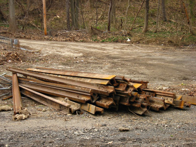 Rails piled up to be carried off and reused |
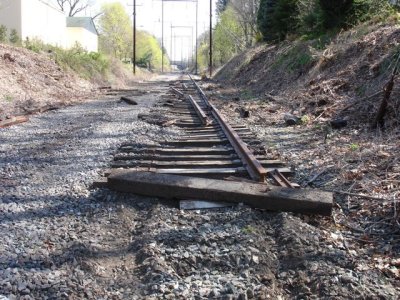 Removing the track and then the ties |
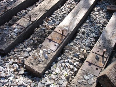 The fork lift lifts the rail and shakes it. If it goes right, the ties and plates are left for the next crew. |
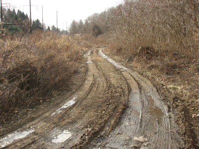
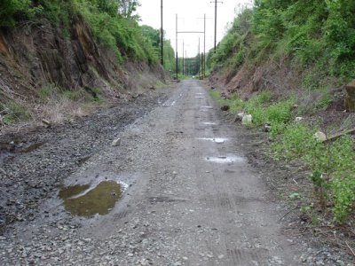 In time, it's changed from rail to trail |
 Just before Belmont Ave is Bala Cynwyd Playground |
 Vine Creek goes under the bridge in Bala Cynwyd Playground and stays underground until Barmouth |
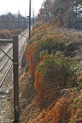 The view looking east, back toward Cynwyd station, from the Belmont Ave bridge |
 Rain cascades down these rocks next to the Belmont Ave bridge. |
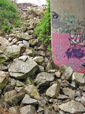
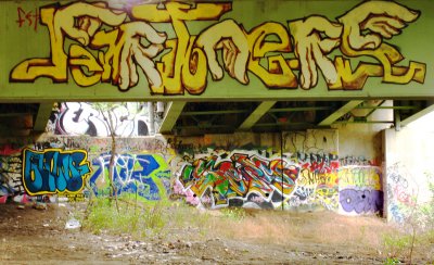
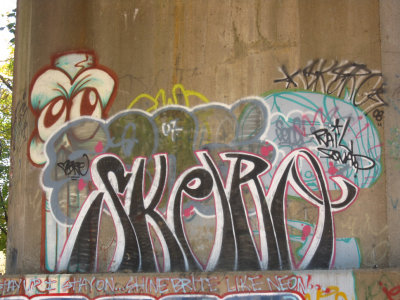
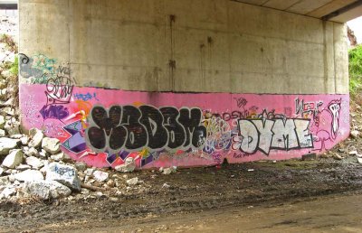 Graffiti under the bridge |
 A year and a half later, new graffiti |
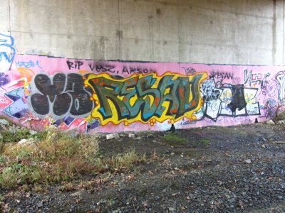
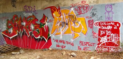 On both sides |
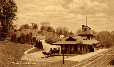 Barmouth Station - on a card postmarked in 1926 |
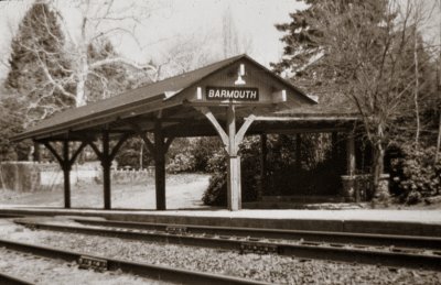
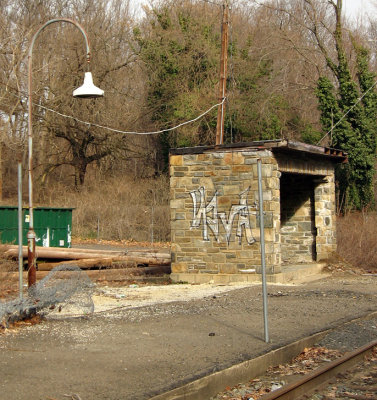 After a fire, the Barmouth station was replaced by this shed |
 The entrance to Westminster Cemetery was near Barmouth. |
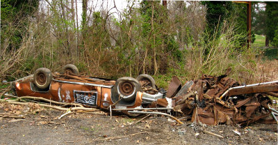 At Barmouth, a car and truck have been pulled out of the weeds |
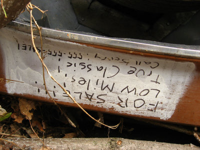 The car, a Cadillac, is for sale, it says. |
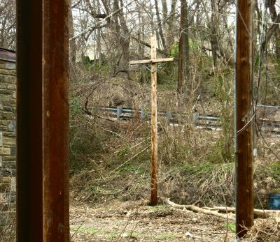 A utility pole framed by supports for the electric wires |
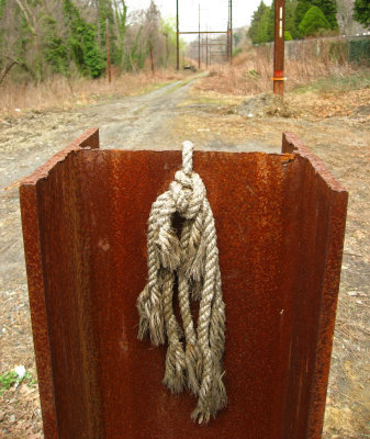 This support for the wires has been cut short and may be dangerous. It was removed in December 2008. |
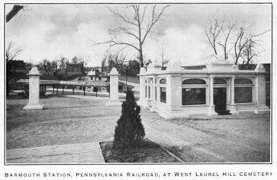 Across from the main Barmouth station, West Laurel Hill Cemetery built a station by 1910 |
 A photo of a later Barmouth station on the outbound side |
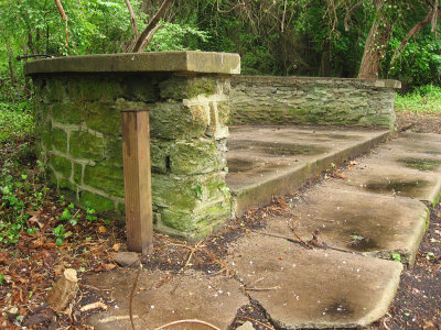 Our cleanup uncovered the platform on the outbound side of Barmouth Station |
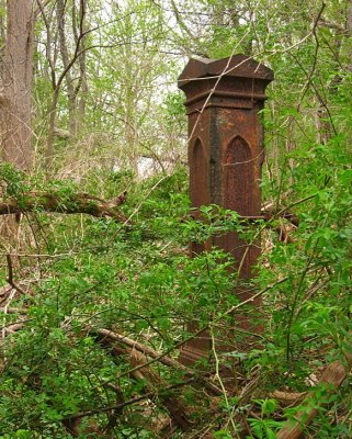
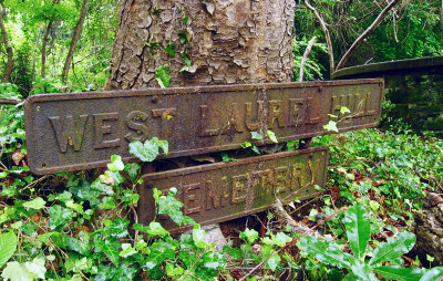 A rusty iron sign beside the platform |
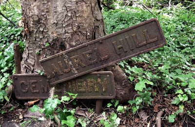 Six weeks later, the sign has been vandalized |
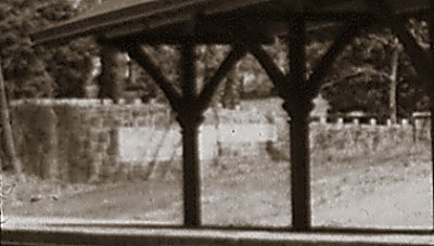 An old closeup showing the wall on the outbound side |
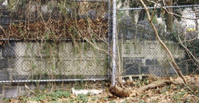 In April we could just read the sign carved in that granite wall |
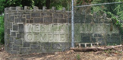 9 weeks later, the area has been cleaned up and some of the fence removed. The sign looks better! |
 Earlier, West Laurel Hill had a station, a little further down the line. Photo by HS Rau in 1891 |
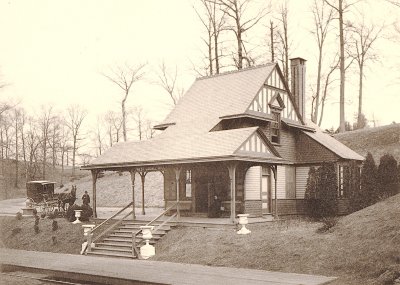 The West Laurel Hill Station |
 Behind the fill, a road leads from the trail up to Westminster Cemetery |
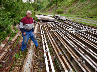 Harry Olson salvages steel for his part of the trail |
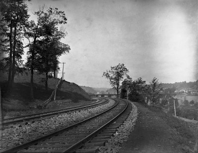 As it nears the Schuylkill, the trail curves. Photo dated 1887-10-2 |
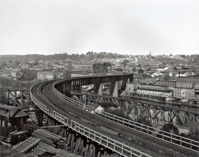
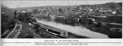 A view of the curve - and Manayunk - from Moses King's 1902 book, Philadelphia and notable Philadelphians |
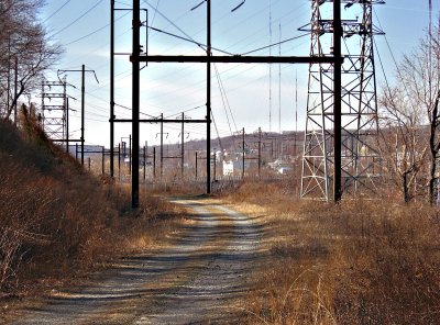 And here's the curve today. |
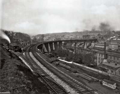 Shortly the railroad must curve to cross the Schuylkill. Photo no. 92 circa 1891 by H S Rau |
 Another photo showing the old "S" bridge across the Schuylkill |
 First, though, the trail must cross over the Pencoyd Viaduct . . . |
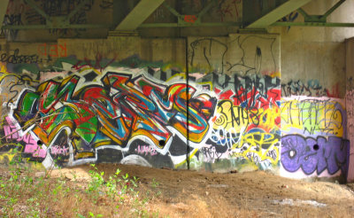 More graffiti under the highway |
 Under the highway at Vine Creek (2009) |
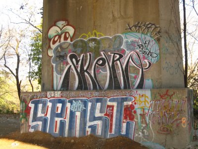
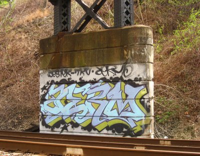
 Skern |
 And graffiti where the trail crosses over the Reading railroad. |
 And then the trail will cross the Schuylkill River . . . |
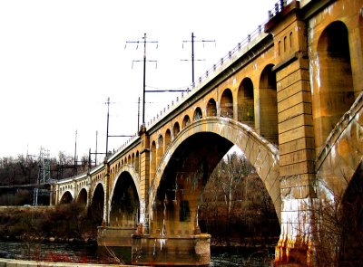
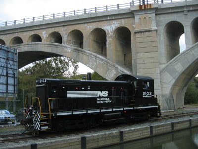
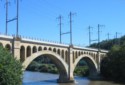 Crossing the river to Manayunk on this concrete arch bridge |
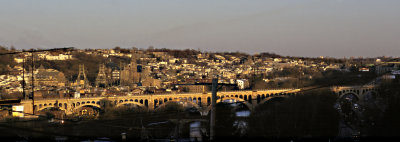 Panorama of the bridge at sunset |
 A branch of the former Reading railroad crosses from Lower Merion to Venice Island, Manayunk. |
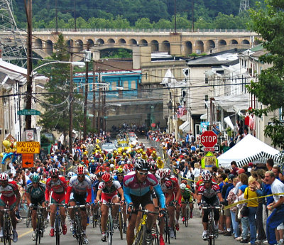 On a Sunday in June each year, bikes race up "The Wall", ignoring the bridge and the trail. |
| previous page | pages 1 2 3 4 ALL | next page |
| comment | share |