photo sharing and upload picture albums photo forums search pictures popular photos photography help login
mic_hong | profile | all galleries >> Galleries >> The "Cube" On Mt. Umunhum - 10/15/17 tree view | thumbnails | slideshow

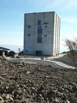
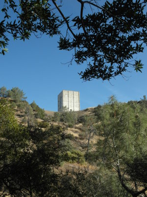
The "Cube" On Mt. Umunhum - 10/15/17

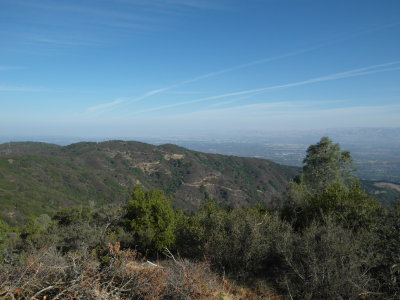
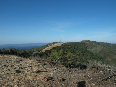
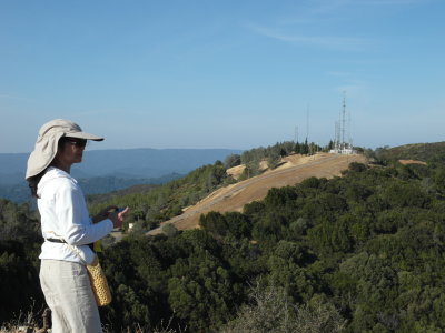
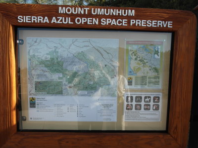
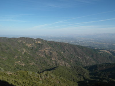
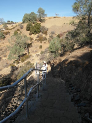
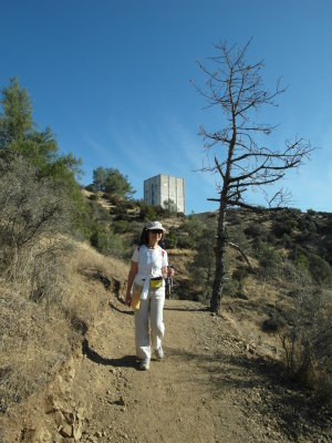
The "Cube" on Mt. Um is finally opened to the public in Sept 2017. At 3,486 feet elevation, Mt. Um is the second highest mountain in the Bay Area region after Mt. Diablo (4,165 ft.) in the East Bay. One can hike/bike the one-and-only Mt. Um Trail which is 3.7 miles long from the Bald Mountain (BM) Parking Area (at 2,336 ft. elevation) to the summit for an elevation gain of 1,150 ft. at a moderate 10% grade. Parking can be limited (40 spaces) at the Bald Mountain Parking Area. At the summit, there is 60 slots. Parking may fill up by 10AM on weekends. Mt. Um Trail is somewhat narrow and dusty due to heavy hikers/bikers traffic. The trail has good shades on and off along the way. Hikers can either hike up from the Bald Mountain Parking Area to the summit or drive to the top and hike down to the first stop at Guadalupe Creek Overlook (mile 2.2) then continue another 1.5 miles to the BM parking lot. Last Sunday, it was quite warm even at the summit and the air and visibility were decent given the fact of the untamable fires in the Napa region. We started from the summit and hiked down to the Guadalupe Creed Overlook (2.2 miles each way). It took about an hour each way hiking down then up. Cooler weather would be ideal to complete the 7.4 mile round trip from the summit to the BM Parking Area or better yet, the other way around...
previous pagepages 1 2 ALL next page
SAM_8723.JPG
SAM_8723.JPG
SAM_8724.JPG
SAM_8724.JPG
SAM_8725.JPG
SAM_8725.JPG
SAM_8726.JPG
SAM_8726.JPG
SAM_8729.JPG
SAM_8729.JPG
SAM_8731.JPG
SAM_8731.JPG
SAM_8732.JPG
SAM_8732.JPG
SAM_8734.JPG
SAM_8734.JPG
SAM_8738.JPG
SAM_8738.JPG
SAM_8739.JPG
SAM_8739.JPG
SAM_8740.JPG
SAM_8740.JPG
SAM_8741.JPG
SAM_8741.JPG
previous pagepages 1 2 ALL next page