photo sharing and upload picture albums photo forums search pictures popular photos photography help login
mic_hong | profile | all galleries >> Galleries >> May Lake Hike - 09/24/05 tree view | thumbnails | slideshow

May Lake Hike - 09/24/05

May Lake Trail is located in the Tuolumne Meadows (7000' elevation), northeast of the Yosemite Park, off of Tioga Road (or Hwy 120 Eastbound). It's one of the few High Sierra Campgrounds for the high country backpacking hikers. The trailhead is two miles in from the highway at milepost T23. This is an easy trail of 1.2 miles long each way with very mild elevation leading to a lake. This trail also leads to Ten Lakes some 16 miles later and ends at the Ten Lakes trailhead for a total of 22.4 miles. We picked this trail to warm up and to acclimate ourselves to the high elevation in preparation for the longer hike to Ten Lakes the following day... Canon D30 and Sigma 30mm f/1.4 EX DC HSM.
previous pagepages 1 2 ALL next page
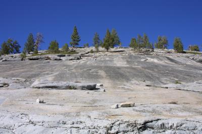
Mountain of Granite (IMG_1173.JPG)
IMG_1180.JPG
IMG_1180.JPG
IMG_1184.JPG
IMG_1184.JPG
IMG_1194.JPG
IMG_1194.JPG
IMG_1200.JPG
IMG_1200.JPG
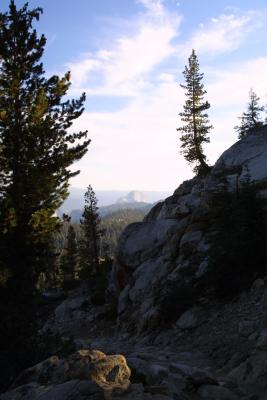
Half Dome In the Far Background (IMG_1207.JPG)
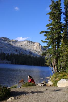
A Pondering Moment (IMG_1220.JPG)
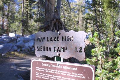
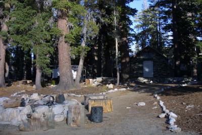
May Lake HSC (IMG_1226.JPG)
previous pagepages 1 2 ALL next page