


|
|
|
|
|
|
| Mark & Linda | profile | all galleries >> Galleries >> Apalachia Dam and Powerhouse Trip | tree view | thumbnails | slideshow |
 Wet Crossing |
 Heading To The Powerhouse |
 Dead Canes |
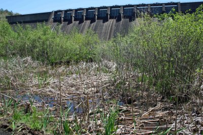 Below The Dam |
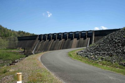 Apalachia Dam |
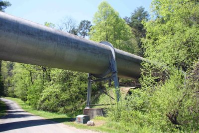
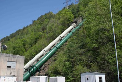 2 Pipes |
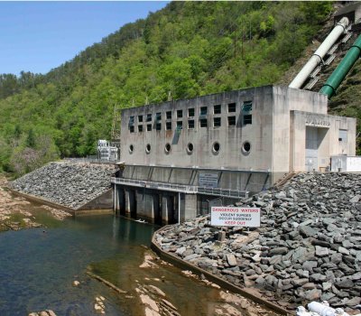
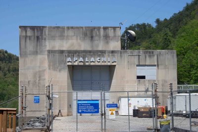 Apalachia Power House |
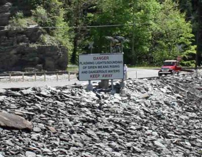 Danger Sign |
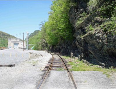 East Bound |
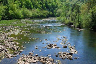
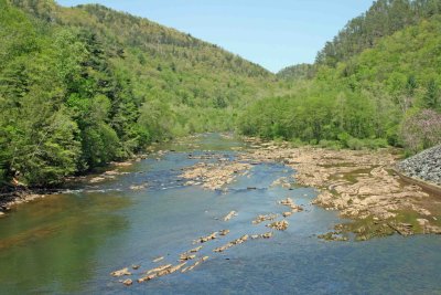 Hiwassee River From Bridge |
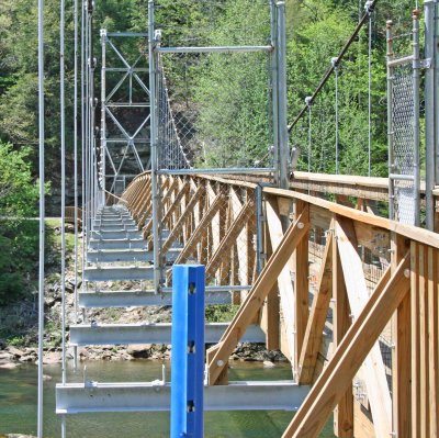 Hold Me Up |
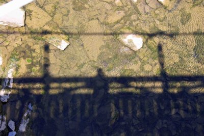 Me And My Shadow |
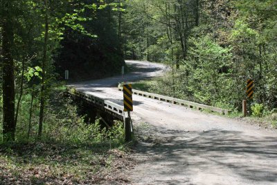 One Lane Bridge |
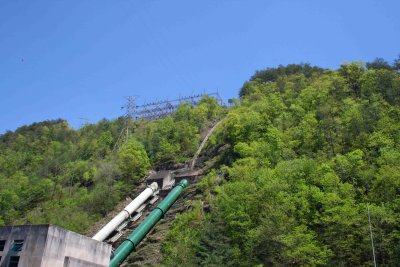
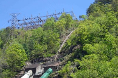 Pipes and Power |
 Powerhouse |
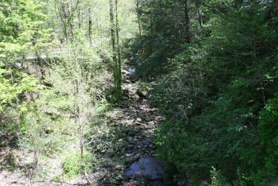
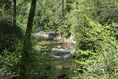 Powerhouse Road Creek |
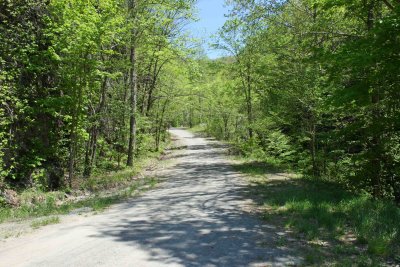 Powerhouse Road |
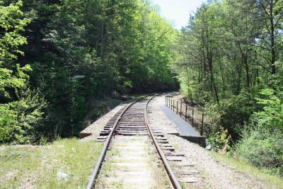
 Rail Bridge |
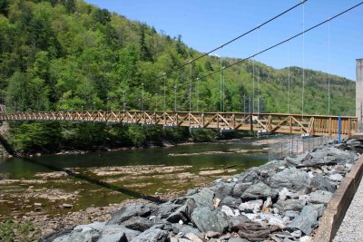 River Bridge |
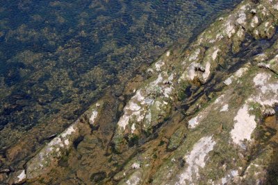 River Rock |
 River View From Bridge |
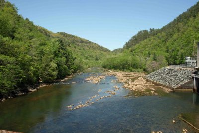 River View Northeast |
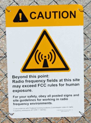 Safe Sign |
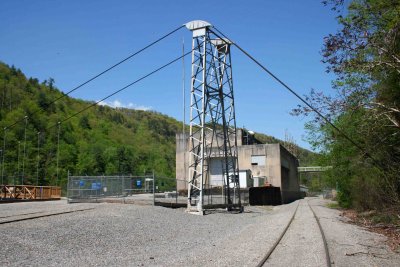 Tracks and Tower |
 Up The Hill |
 West Bound |
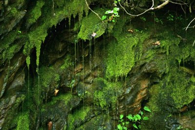 Wet Moss |
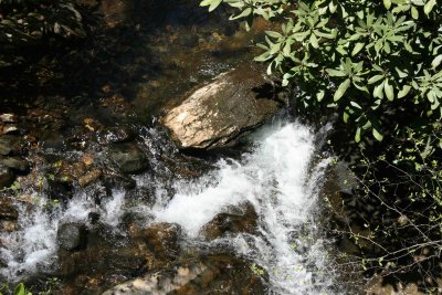 White Foam |
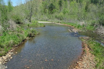
 Road Creek |
| comment | share |