


|
|
|
|
|
|
| marjory | profile | all galleries >> Some gatherings of the I.S.A.E.D.H.S. >> Acadia National Park - September 2006 | tree view | thumbnails | slideshow |
| previous page | pages 1 2 3 ALL | next page |
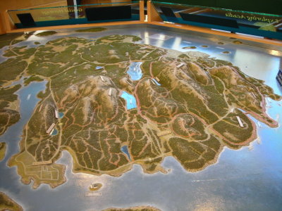 01-092506-N-0630 relief map at the visitor center.JPG |
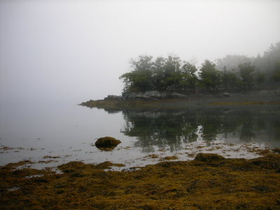
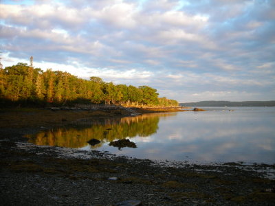 02-092606-N-0648 first morning at the shore - 7 am - glad I got up so early.JPG |
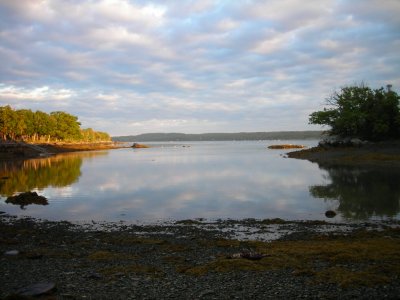 03-092606-N-0649.JPG |
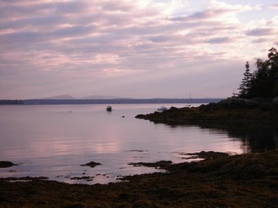 04-092606-N-0667 camera settings off - the color wasnt like this but its pretty anyway.JPG |
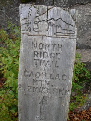 05-092606-N-0701 - Cadillac Mtn trailhead.JPG |
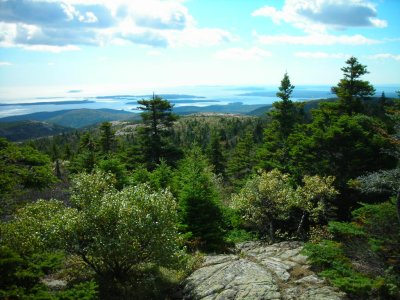
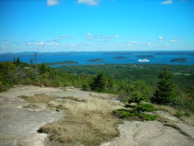 092606-N-0672 towards Bar Harbor and the Porcupine Islands from Cadillac.JPG |
 092606-N-0680.JPG |
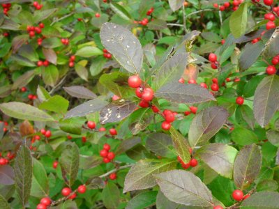 092606-N-0685 winterberry - a holly species.JPG |
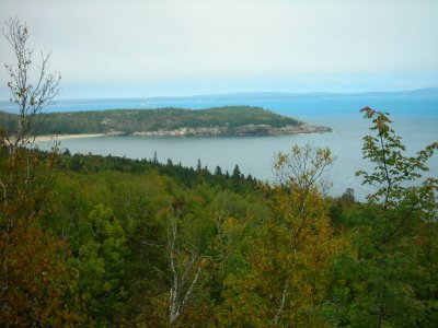
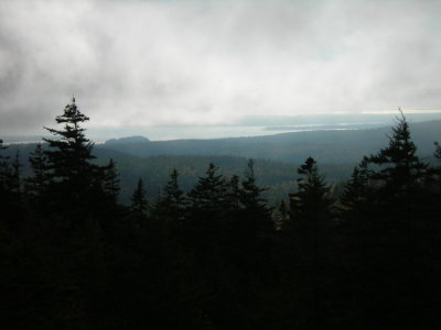
 092606-N-0686 south from Cadillac Mtn.JPG |
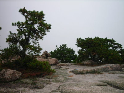
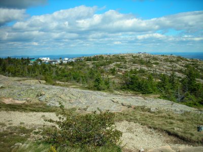 092606-N-0691 busy place on top on a nice day.JPG |
 092606-N-0697.JPG |
 092606-N-0707 dinner time at Aloha cabin.JPG |
 092606-N-0708.JPG |
 092606-N-0709.JPG |
 092606-N-0710 the mussel chefs.JPG |
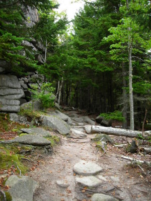
 092706-N-0713 Sargent Mtn trailhead.JPG |
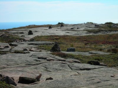
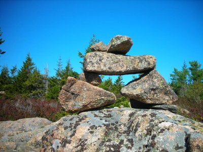 092706-N-0716 one of many cairns marking the trails.JPG |
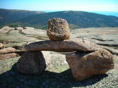 092706-N-0731 the cairns look like an Irish dolmen with an extra stone on top.JPG |
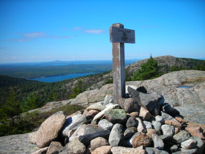
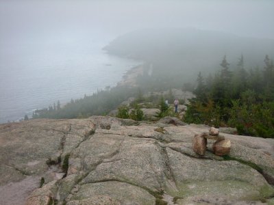
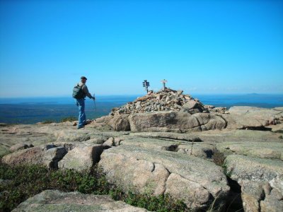 092706-N-0734 summit cairn on Sargent Mtn.JPG |
 092706-N-0736.JPG |
Sargent Mtn panorama - Cadillac Mtn to the east.jpg |
 092706-N-0741 lots of open rock leaving the summit.JPG |
 092706-N-0742 side trail and summit on the way down from Sargent.JPG |
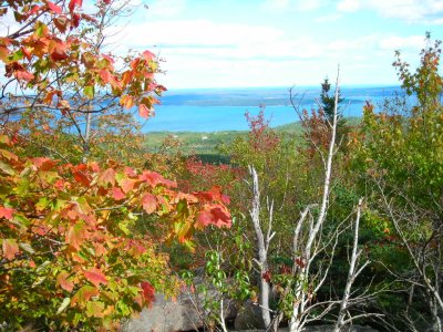
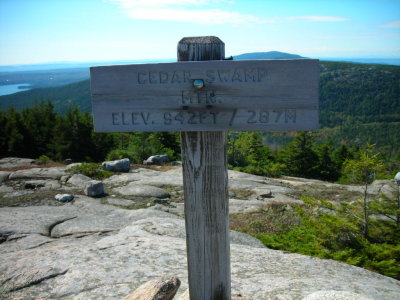
 092706-N-0745 Cedar Swamp Mtn and westward to Gilman and Somes Sound.JPG |
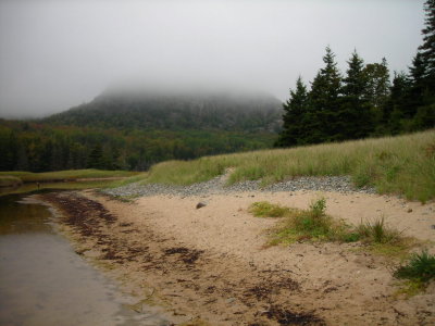
 092806-N-0751 foggy start to the day.JPG |
 092806-N-0753 what a place for your morning coffee.JPG |
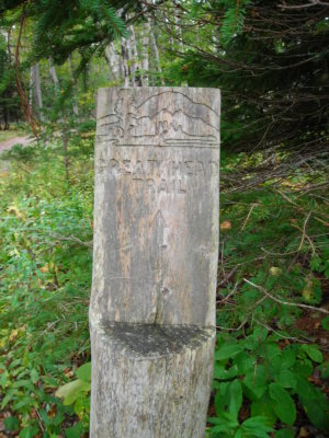 092806-N-0754 start of Great Head trail.JPG |
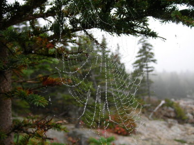 092806-N-0756 morning jewels on a foggy day.JPG |
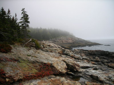 092806-N-0760 along the Great Head trail.JPG |
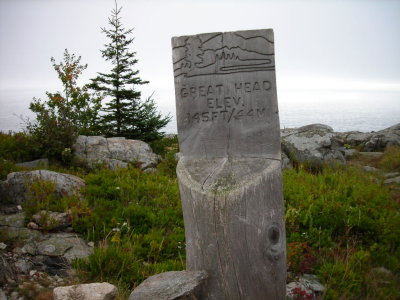 092806-N-0764 Great Head summit so to speak - 145 ft above the sea.JPG |
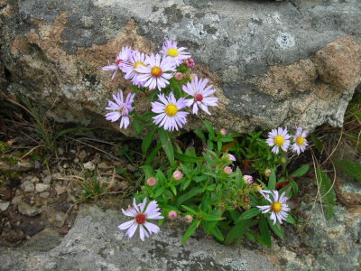 092806-N-0769 asters growing in a crevice.JPG |
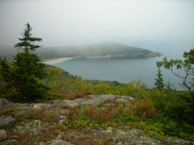
 092806-N-0772 Sand Beach from Great Head.JPG |
 092806-N-0776 Beehive Mtn is socked in as of 10-45 am.JPG |
 092806-N-0785 clouds are still low at 11-20 am.JPG |
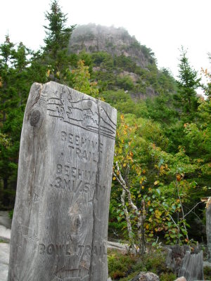
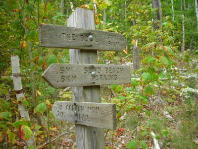 092806-N-0786 junction for Gorham from the north.JPG |
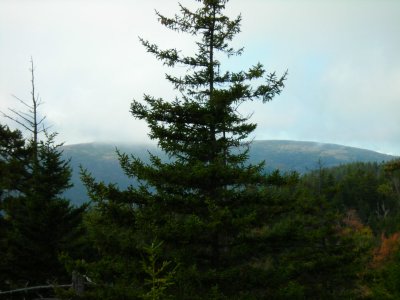
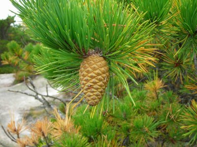 092806-N-0789 unknown variety of pine tree.JPG |
 092806-N-0792 near the top of Gorham Mtn.JPG |
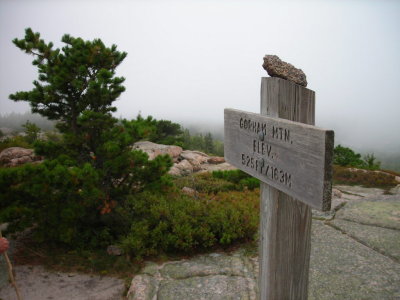 092806-N-0795 summit of Gorham Mtn at 11-50 am.JPG |
 092806-N-0799 Great Head from Gorham at noon.JPG |
 092806-N-0803 north from Gorham at noon.JPG |
 092806-N-0806 Great Head from Gorham at 12-25 pm - clouds starting to lift.JPG |
 092806-N-0811 Cadillac Cliffs side trail on Gorham.JPG |
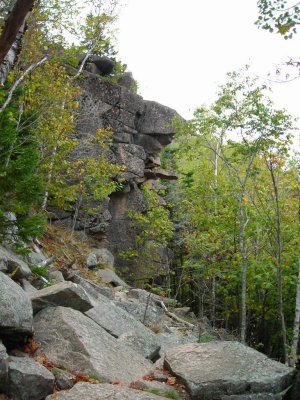 092806-N-0812 part of the Cadillac Cliffs.JPG |
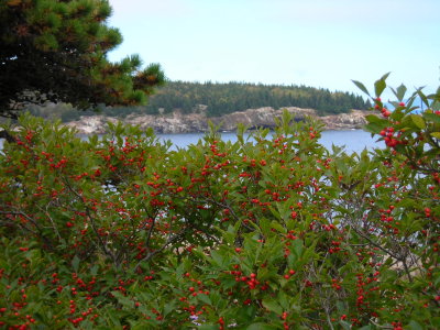 092806-N-0820 winterberry and ocean scene - possible Christmas card photo.JPG |
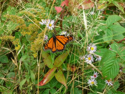 092806-N-0821 Monarch butterflies were still around all week.JPG |
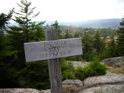 092806-N-0822 - The Triad - part of the Pemetic Mtn trail from the south.JPG |
 092806-N-0825 Penobscot at left and Sargent from Triad - low clouds still there at 3 pm.JPG |
 092806-N-0828 south view from The Triad to the ocean.JPG |
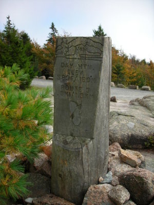 092806-N-0833 summit of Day Mtn - with a carriage road to the top.JPG |
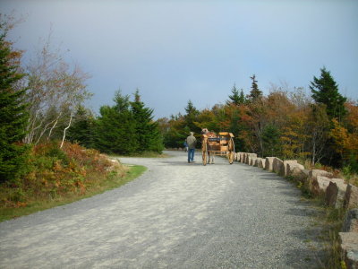 092806-N-0834 carriage on the road at the summit.JPG |
 092806-N-0836 north towards Cadillac Mtn on the right about 4 pm.JPG |
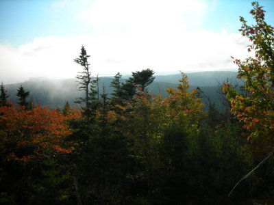 092806-N-0838 west from Day Mtn.JPG |
WoodlandPark-Emery Cove - Friday morning.jpg |
| previous page | pages 1 2 3 ALL | next page |
| comment | share |
| Guest | 26-Oct-2006 01:51 | |