


|
|
|
|
|
|
| Douglas Houck | profile | all galleries >> mountains >> Cascades >> Ingalls Pass to Lake Ingalls | tree view | thumbnails | slideshow | map |
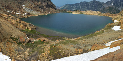 Lake Ingalls (6,463 ft.) |
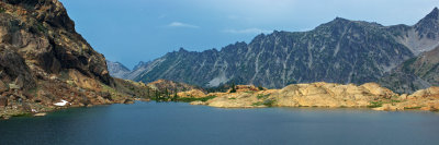 Lake Ingalls (6,463 ft.) |
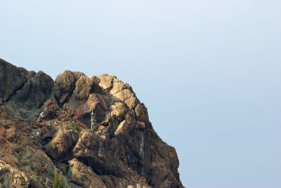
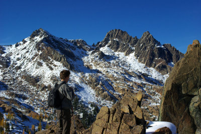
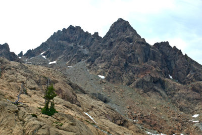 Ingalls Peak (8,376 ft) |
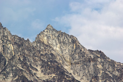
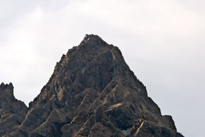 Ingalls Peak (8,376 ft) |
 Rock Outcrop above Lake Ingalls |
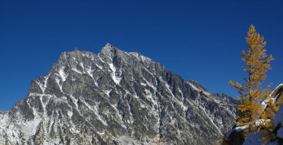
 Mt. Stuart (9,415 ft.) |
 Mt. Stuart (9,415 ft.) |
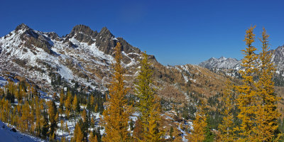
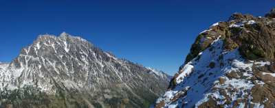 Mt. Stuart Range |
 Ingalls Basin |
 Ingalls Basin |
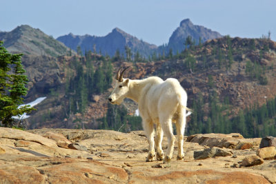 Oreamnos americanus |
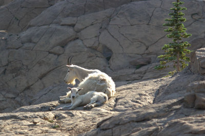 Oreamnos americanus |
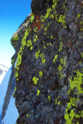 Lichen |
| comment | share |