


|
|
|
|
|
|
| Monte Dodge | profile | all galleries >> Pacific Crest Trail , Then and Now >> The Pacific Crest Trail " 1945" | tree view | thumbnails | slideshow |
| previous page | pages 1 2 ALL | next page |
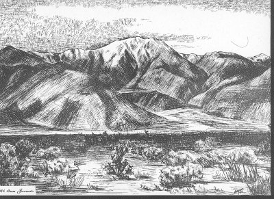 Mt. San Jacinto |
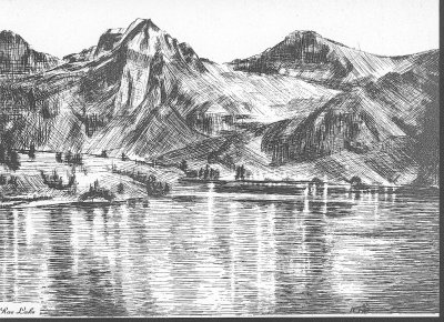 Rae Lake |
 Glacier Peak |
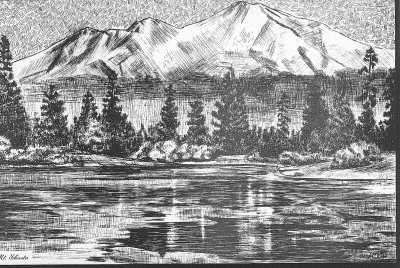 "Mt Shasta " 1945 Sketch by Merle Lozier |
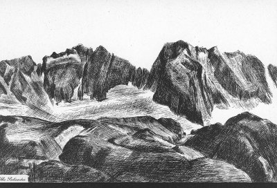 The Palisades |
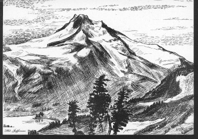 Mt Jefferson |
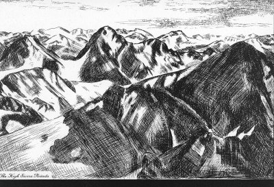 The High Sierras |
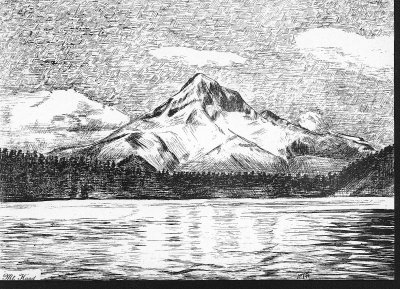 Mt. Hood |
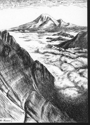 Mt. Rainier from Goat Rocks |
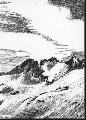 Mt. Lyell |
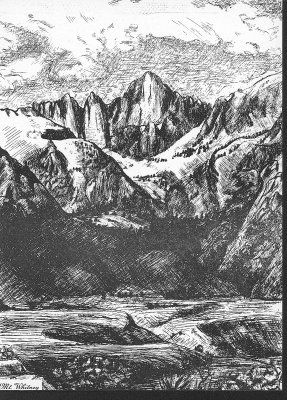 Mt. Whitney |
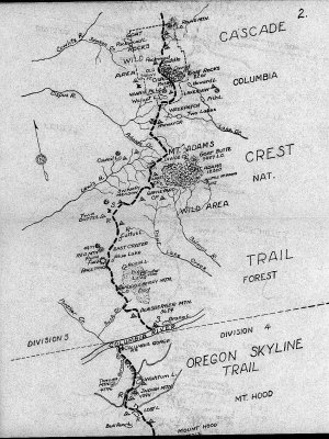
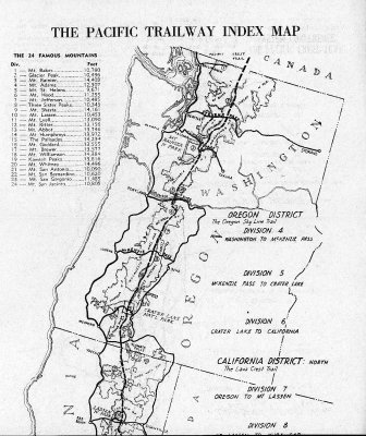 Washington And Oregon Map Of PCT Route 1945 |
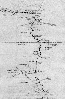
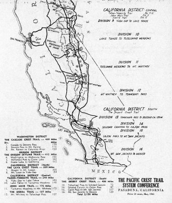 Calif. PCT 1945. ( Note Old PCT Never Hit the Marbles) |
 PCT Start Near Campo 1945 |
 pct maps015.jpg |
 pct maps014.jpg |
 pct maps013.jpg |
 pct maps012.jpg |
 Southern Oregon " Old Skyline Trail" 1945 |
 pct maps010.jpg |
 pct maps009.jpg |
 pct maps008.jpg |
 pct maps007.jpg |
 The Closure Of Our Forest and Wild Lands Is At Hand. |
| previous page | pages 1 2 ALL | next page |
| comment | share |