


|
|
|
|
|
|
| Dave Beedon | profile | all galleries >> Places >> Utah >> Moab (environs) >> Day Canyon >> Return to Day Canyon [MOAB] | tree view | thumbnails | slideshow | map |
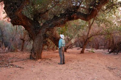 Cottonwood trees in the canyon |
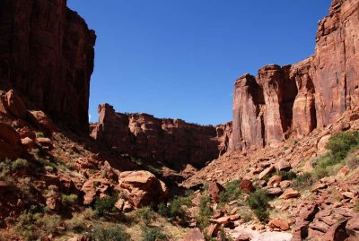 Typical terrain |
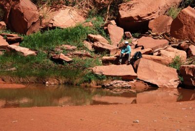 Lunch break by a pour-off pool |
 Lovely vegetation: poison ivy |
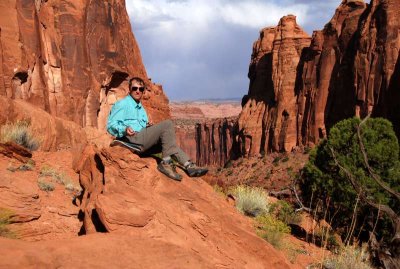 Rest break in the canyon |
 Petrified wood (the arrangement is about three feet wide) |
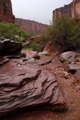 Rain spoiled my attempt to make a self-portrait on these stream steps |
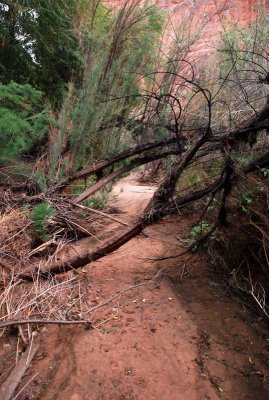 Hiking route in the lower canyon (at least when it's not in flood) |
| comment | share |
| Dave Beedon | 12-Nov-2015 04:53 | |
| MK | 12-Nov-2015 00:48 | |