


|
|
|
|
|
|
| Herb | profile | all galleries >> Herb's Freedom Ride 2007 >> Los Osos to Sequoia National Park | tree view | thumbnails | slideshow |
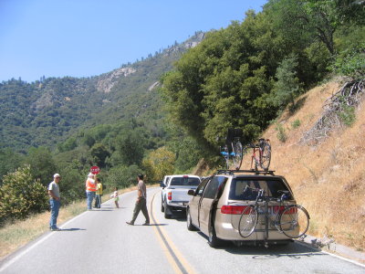 Day 19. Road work delays on Hwy 198, the southern entrance. |
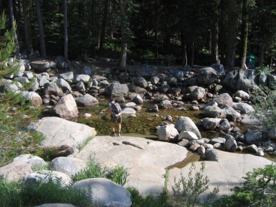 The Kaweah River was too cold for swimming. |
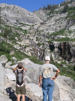
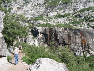
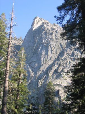
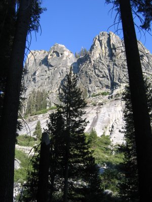
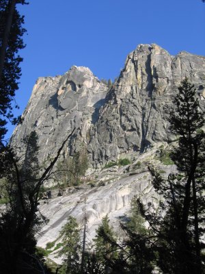
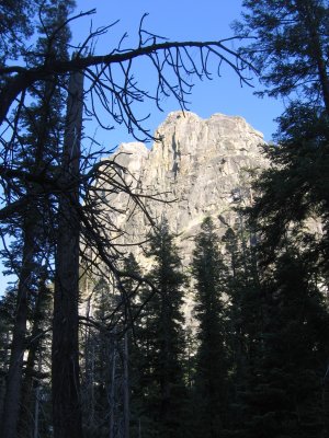
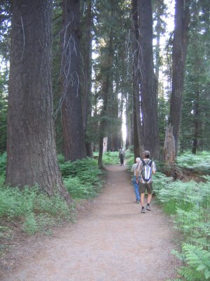
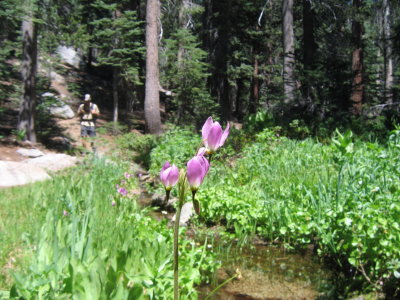
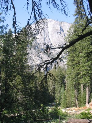 On trail toTokopah Falls. |
 It's an out and back hike. |
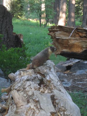 This large marmot allowed us to get very close. |
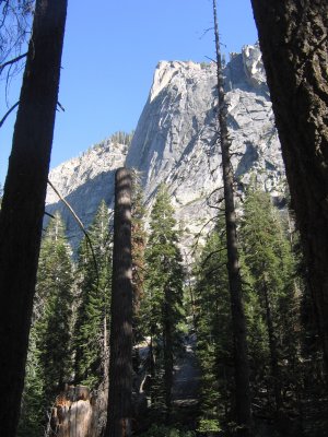
 Distance one-way is 1.7 miles. |
 |
 |
 |
 |
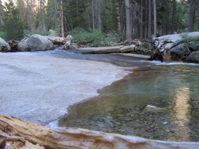
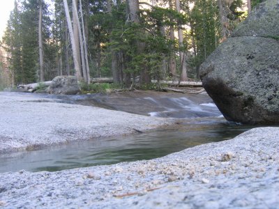
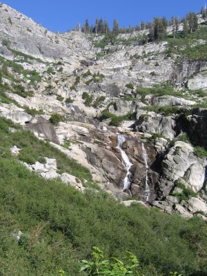 Too bad it has been a dry winter. |
 Notice the dark water marks on the granite. |
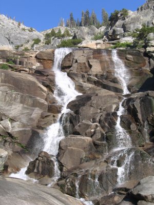 In a wet year, this fall would very impressive. |
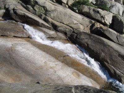 |
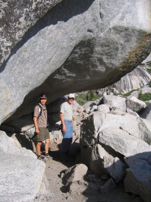
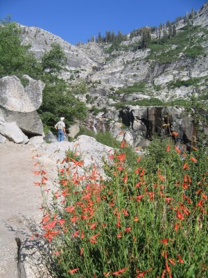
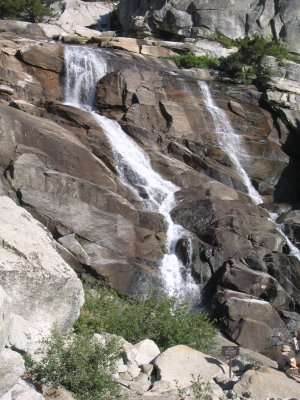
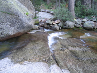
 That's about as close as I can get. |
 Looking good. |
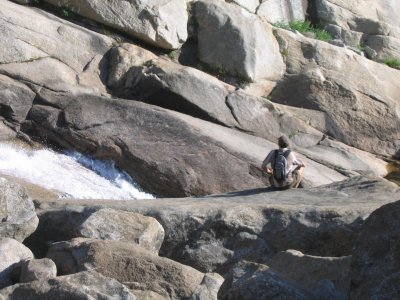
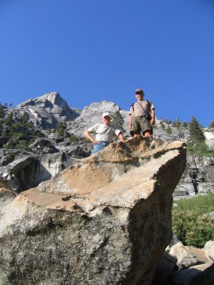
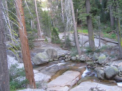
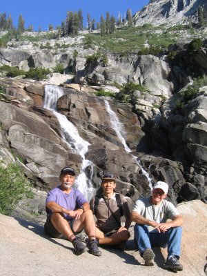 The hikers. |
 A nice series of photos. |
 All the pictures in Sequoia NP were taken by Geno. |
 |
 |
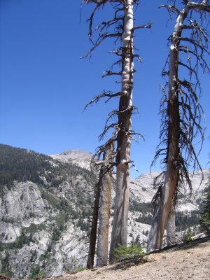
 The mosquitoes were out at dusk... |
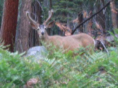 But so were the animals. |
 Nice photos of flowing water. |
 |
 |
 |
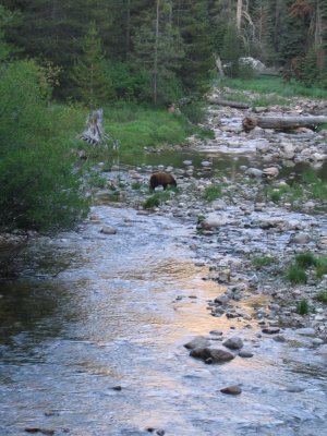 Young black bear feeding along the river. |
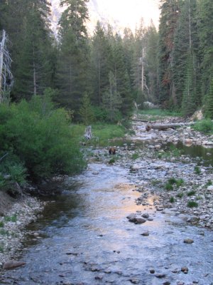 Our presence did not concern it. Good eyes Dick. |
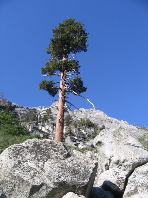
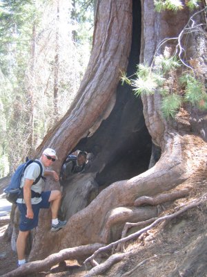
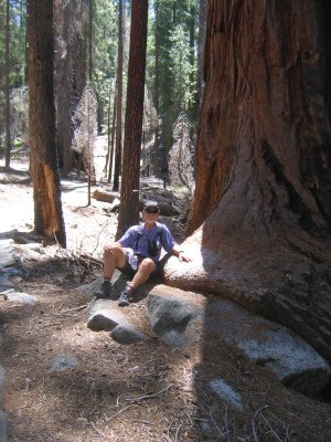
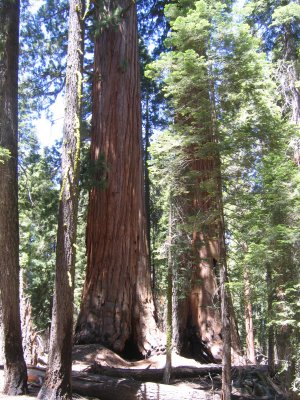
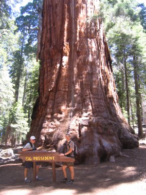
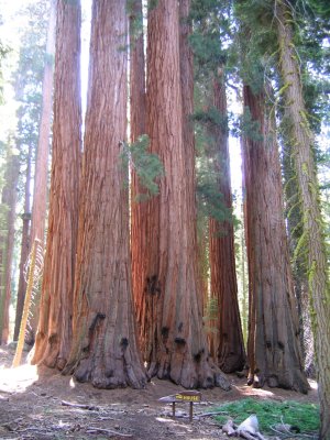
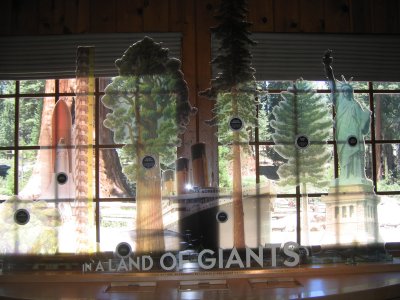
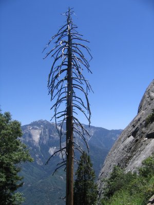
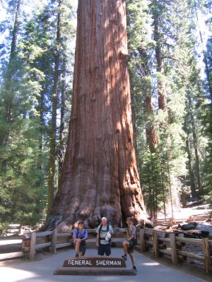 Day 20. On the trail in the land of giants. |
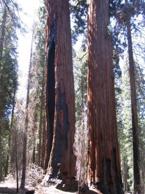
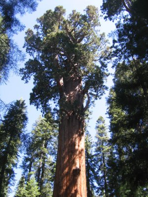 The Sherman tree is the largest in volume of wood. |
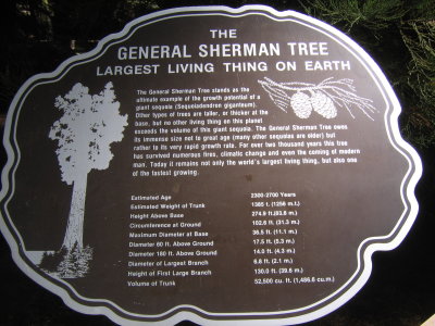 Interesting Information. |
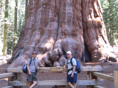 A sense of scale. |
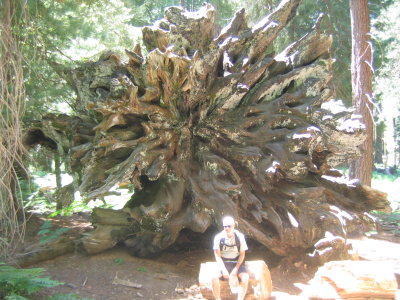
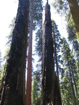
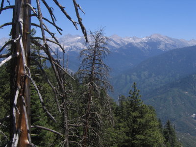
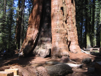 Most Sequoias show evidence of past fires. |
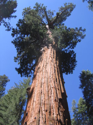 Looks big, is big. |
 Fires are a part of its life cycle. |
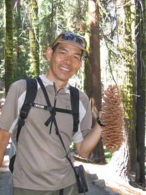 Cone of a Sugarpine. |
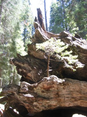
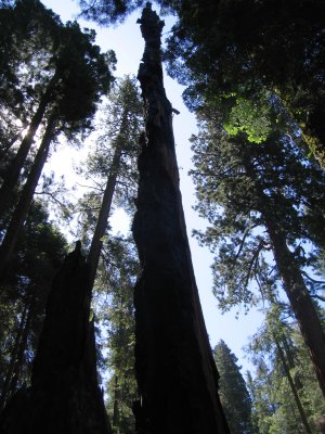 Fire damage. |
 Can survive even when badly damaged. |
 Cones of the Sequoia are smaller than a tennis ball. |
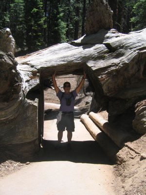
 It's not Paris, but looking good Geno! |
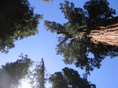
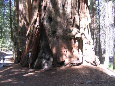 I feel small. |
 |
 Do you mean Bush? |
 The state of affairs. |
 Life can be tenacious |
 Looks very orderly. |
 |
 Sometimes it's easier to go through it. |
 At the visitor center. |
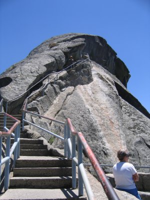
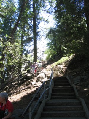 On the trail to Moro Rock. |
 Sign saids it all. |
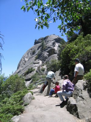 About 4,000 steps (1/4 mile) to the top. |
 Up up up we go. |
 |
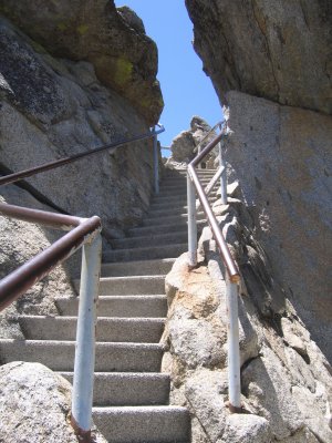 |
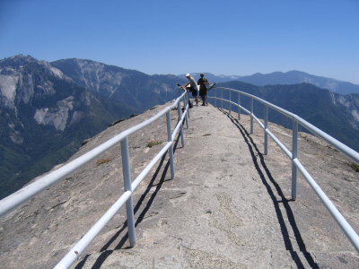
 Elevation gain is about 350 feet. |
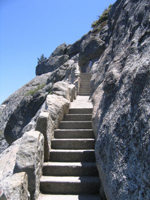 So many steps! |
 The Kaweah River heading toward the valley. |
 Hope you aren't afraid of height. |
 |
 |
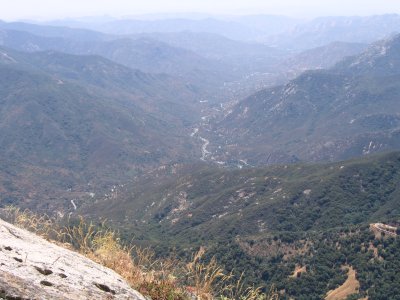
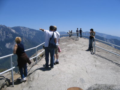 The top sits at @ 6,725 feet. |
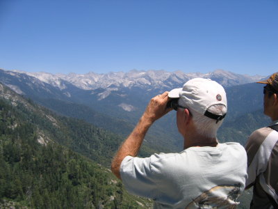
 Great 360 deg views. |
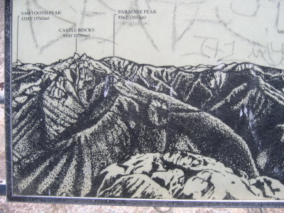
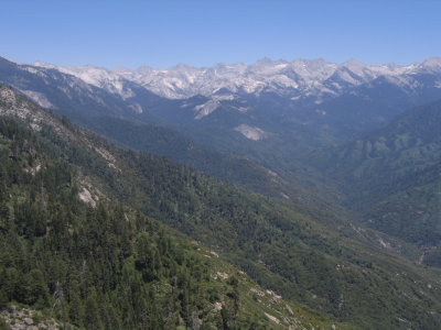 The "Great Western Divide". |
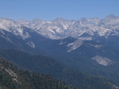 Several distant peaks are close to 14,000 feet. |
 |
 |
 |
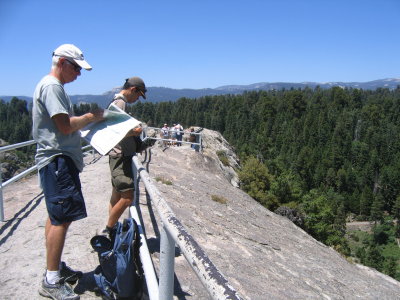
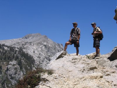
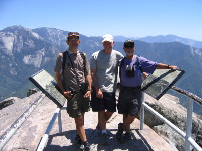 Time for a group shot. |
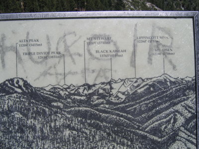
 Looking at Alta Peak, a trail Dick wants to hike. |
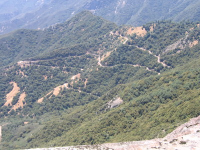 Hwy 198 down below. |
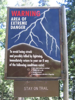
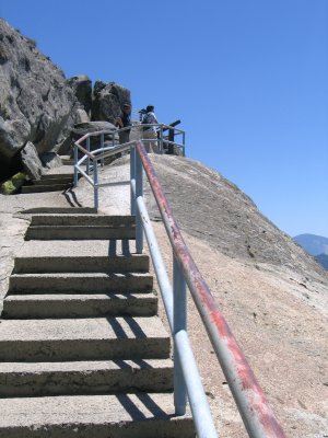
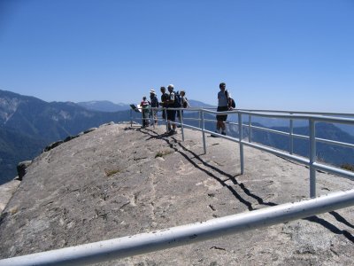 Stay within the rails please. |
 One last look. |
 Time to head down. |
 Hang on. |
 |
 |
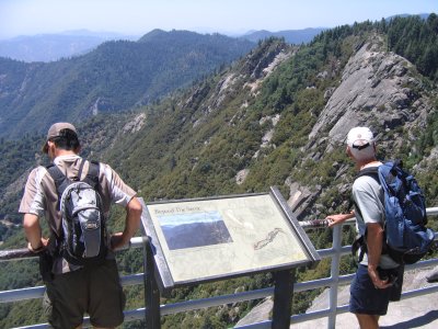
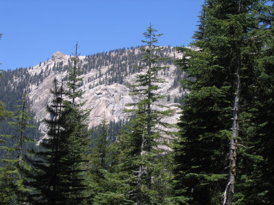
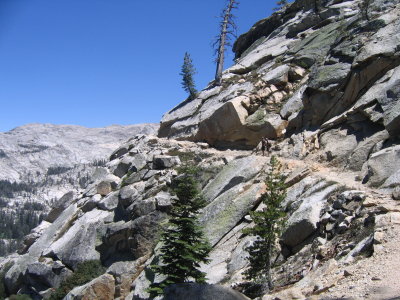
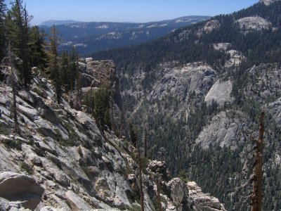
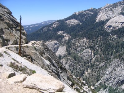
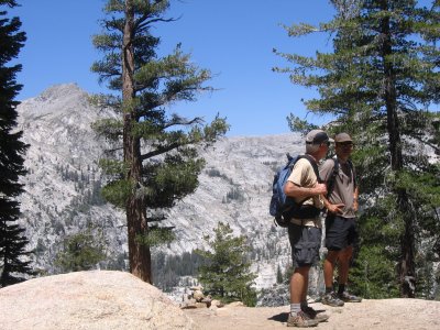
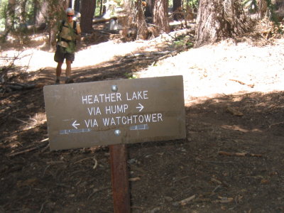
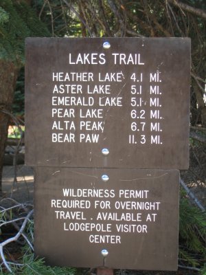 Day 21. On the trail to Watchtower and Heather lake |
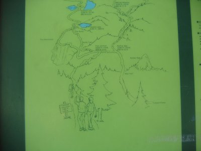 Trail map. |
 Round Trip is about 8 miles. |
 Total elevation gain is just over 2,000 feet. |
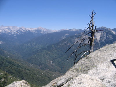
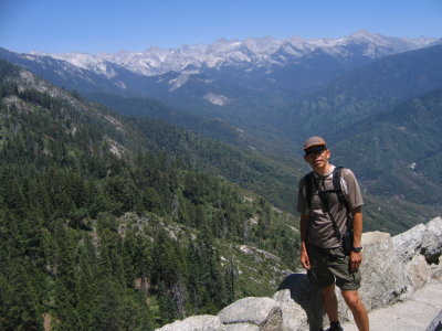
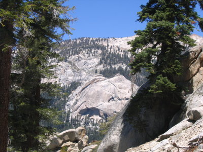
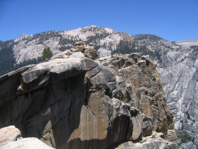
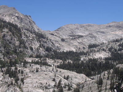
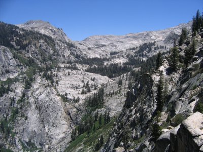 View from the top. |
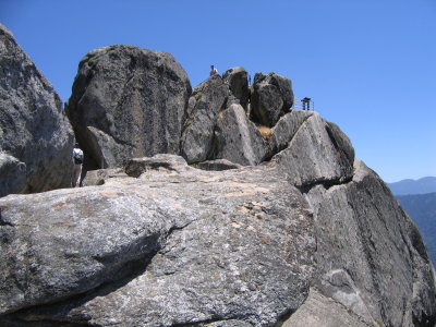
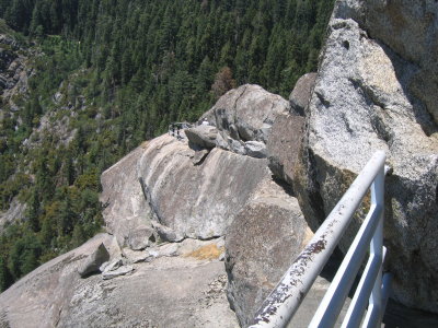
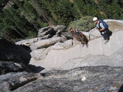
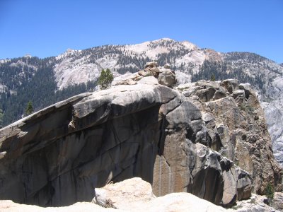
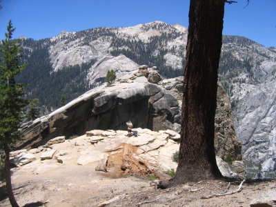
 Precarious rock outcropping. |
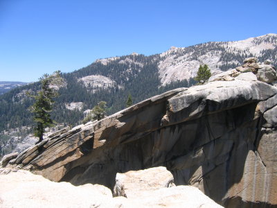 |
 This isn't the highest point on the trail, but it's the best views. |
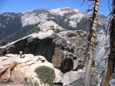
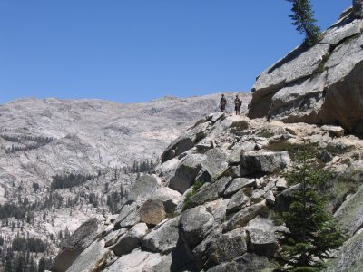
 Dick heads out onto the cliff outcropping. |
 Look carefully and you'll see Dick. |
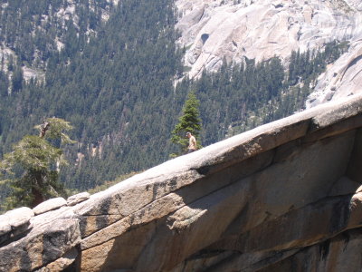 Working his way back. |
 Tokopah Falls is 1,600 feet below. |
 |
 |
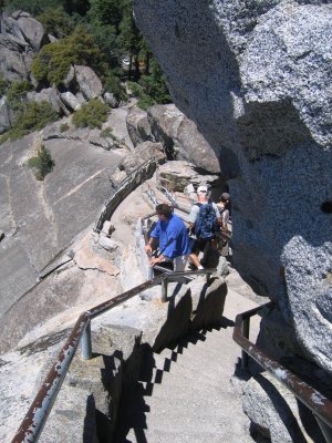
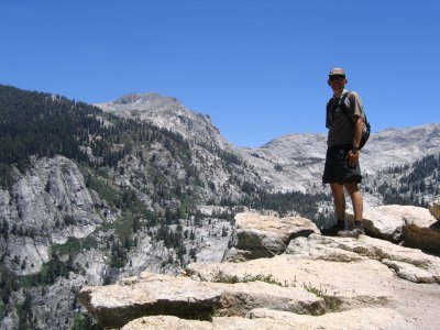
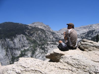
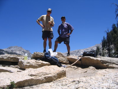 Lunch time. |
 |
 I'm out on the cliff. |
 Look closely and you'll see me on the rock. |
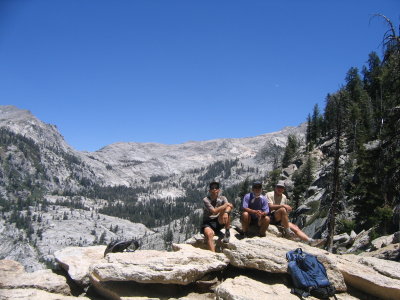 Group shot. A coupe from Wisconsin took the Photo. |
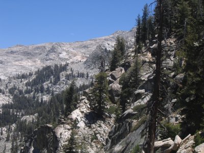
 Heading to Heather Lake. |
 |
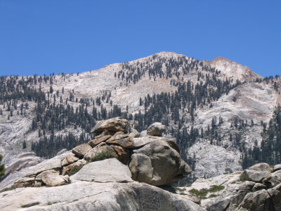
 Great views. |
 |
 Nice trail. |
 Dick and I agree that coming down is harder on the legs than going up. |
 |
 We decide to go home after the hike. |
| comment | share |