


|
|
|
|
|
|
| Kevin Klasman | profile | all galleries >> Peak Bagging >> AMC New Hampshire 4000 Footers - Over age 60 >> #13 Carrigain - 4700' elevation | tree view | thumbnails | slideshow |
| previous page | pages 1 2 3 ALL | next page |
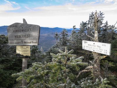
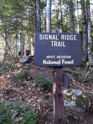 Trailhead sign at the start |
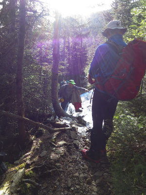
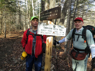 Frank and Kevin H at the decision point...to the summit or the pass? |
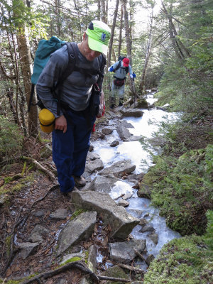
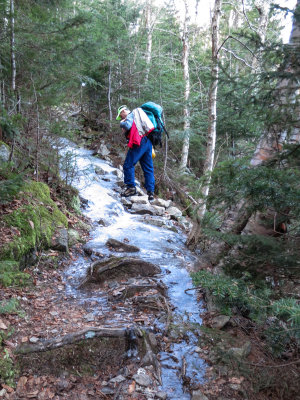 Frank negotiates one of the many icy sections on the way to the summit |
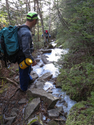 Frank watches Kevin H move over the ice |
 With Kevin H mostly past the difficulty, Frank starts back up the trail |
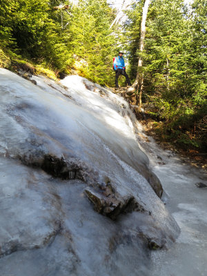 Len waits at the top of the most challenging ice flow |
 Len watches while Frank moves up another icy section |
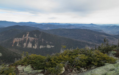
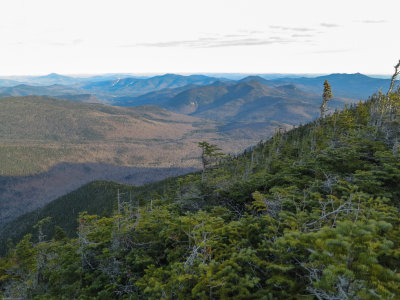
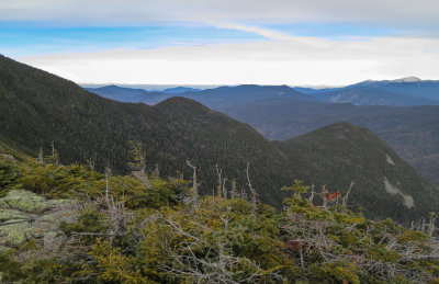 The view from the high point of Signal Ridge - 1 |
 The view from the high point of Signal Ridge - 2 |
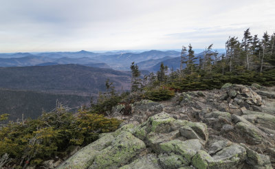 The view from the high point of Signal Ridge - 3 |
Panoramic view to the north and east from Signal Ridge |
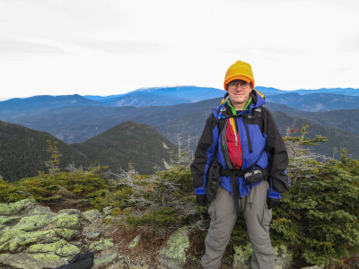 Me on top of Signal Ridge (Mt Washington in the distance) |
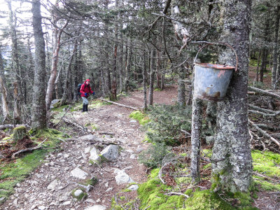 Kevin H nears a fire bucket near the Mt Carrigain summit |
 Trail junction on the summt |
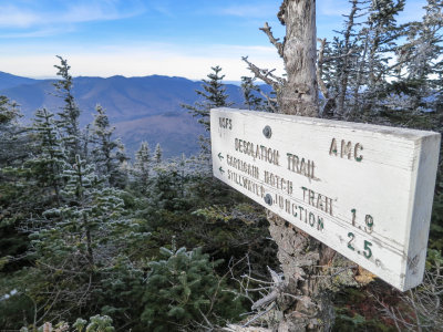 Trail sign pointing to the steepest route on the mountain |
 The Signal Ridge trail heads off the summit |
 Frank, Kevin K, Kevin H and Len on the lookout tower on the summit |
 Looking towards Vose Spur, northeast from the Carrigain summit |
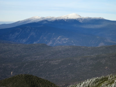 Mt Washington covered in snow |
 Len, Frank and Kevin H back on Signal Ridge highpoint |
 Another view of Mt Washington in the distance |
 The view to the southeast on the way down in late afternoon light |
 Back at the junction, 6.25 hours later |
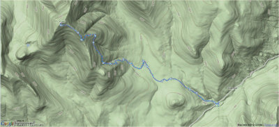 Google terrain map of the route |
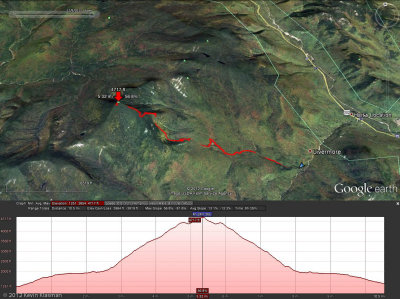 Google earth map of the route and elevation profile |
| previous page | pages 1 2 3 ALL | next page |
| comment | share |