


|
|
|
|
|
|
| Kenneth Christian | profile | all galleries >> Western Caribbean 2011 >> Kohunlich Mayan Ruins | tree view | thumbnails | slideshow | map |
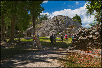
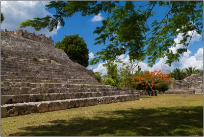 Kohunlich Mayan Ruins |
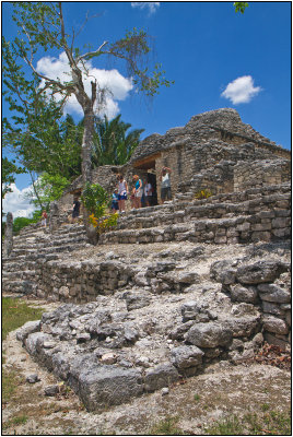 Kohunlich Mayan Ruins |
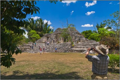 Kohunlich Mayan Ruins |
 Temple of the Masks, Kohunlich |
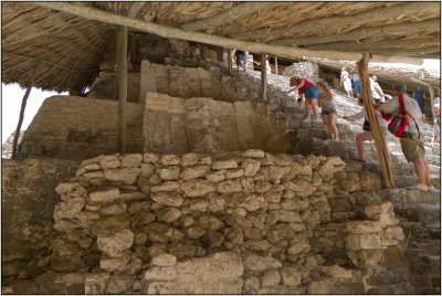 Kohunlich Masks |
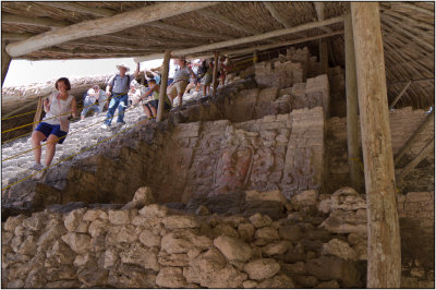 Kohunlich Masks |
 Kohunlich Mayan Mask |
 Kohunlich |
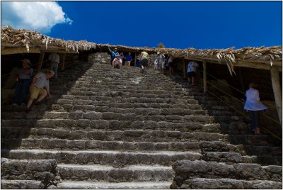
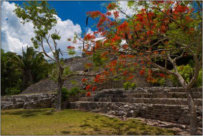 Kohunlich Mayan Ruins |
 Docked in Costa Maya |
| comment | share |
| joseantonio | 16-Jul-2011 16:36 | |