


|
|
|
|
|
|
| Kenneth Christian | profile | all galleries >> Grand Circle 2008 >> Bryce Canyon | tree view | thumbnails | slideshow | map |
The Bryce area was settled by Mormon pioneers in the 1850s and was named after Ebenezer Bryce, who homesteaded in the area in 1874. The area around Bryce Canyon became a U.S. National Monument in 1923 and was designated as a national park the next year.
The park covers 56 square miles and receives relatively few visitors compared to Zion Canyon and the Grand Canyon, largely due to its remote location. The town of Kanab, Utah, is situated at a central point between these three parks.
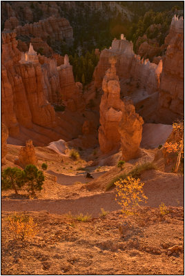
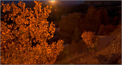 Autum Sunrise in Bryce Canyon |
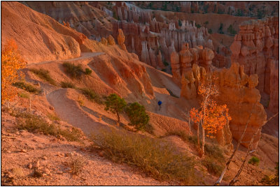
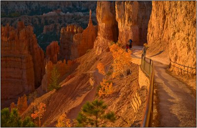
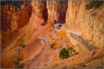 Photographers Gather at Dawn |
 Sunset Point at Sunrise |
 Autumn Leaves Add Color |
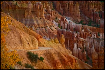
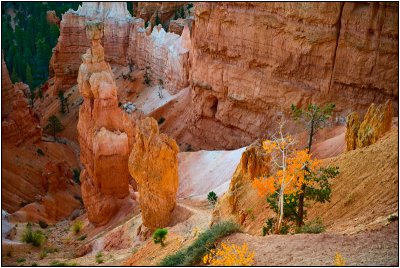 Hoodoos at Dawn |
 A Photographer Among the Hoodoos at Sunset Point |
 Warm Rays |
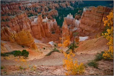
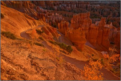
 Dawn's Early Light |
 Lying Down on the Job |
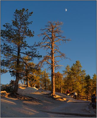
 Early Morning Light |
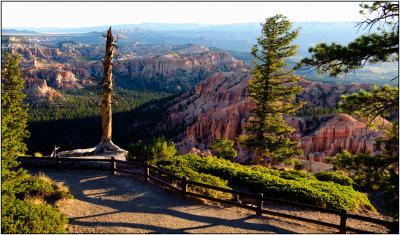
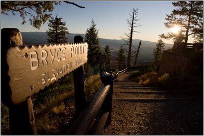 A Lookout Point in Bryce Canyon |
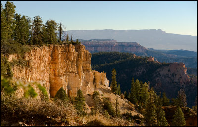
 Bryce Point |
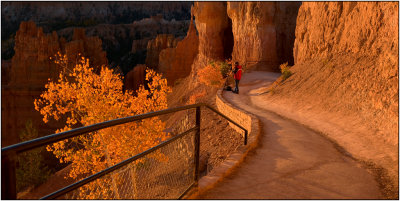
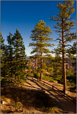
 Bryce Trail |
 Natural Beauty |
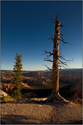
 Standing Tall |
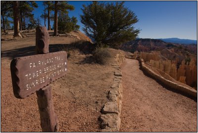 Fairyland Trail |
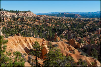 Bryce Canyon Hoodoos |
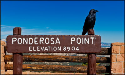 Ponderosa Point Visitor |
 Late Afternoon |
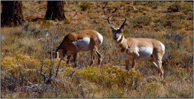 Pronghorn Antelope |
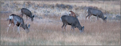 Mule Deer in Bryce Canyon |
| comment | share |
| Michael | 12-Jan-2009 01:05 | |