


|
|
|
|
|
|
| Jurisam | profile | all galleries >> Neighbourhoods Of Haifa, Israel >> New Haifa (1761 CE - 1918 CE) | tree view | thumbnails | slideshow |
| previous page | pages 1 2 3 4 5 6 ALL | next page |
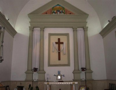 The Main Services Hall Of The Maronite Church.JPG |
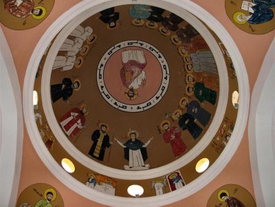 New Painting On The Concaved Ceiling Of The Main Hall.JPG |
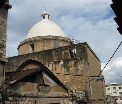 View On The Maronite Church From Hatib St.JPG |
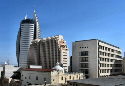
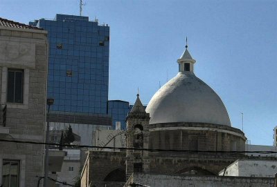 The Maronite Church , View from Paris Square.JPG |
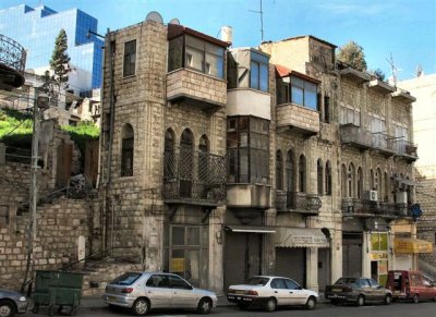
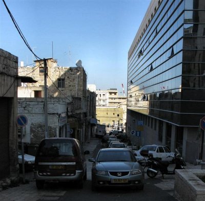 Old & New Structures In Hatib St.View From South (Shivat Zion St.- ex Stanton St).JPG |
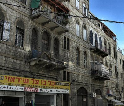
 Old Buildings At Crossroads Hatib & Shivat Zion ,Where Western & Southern Walls Met .JPG |
 View To East Of Shivat Zion St. ex- Stanton, Along Which The Southern Wall Stood.JPG |
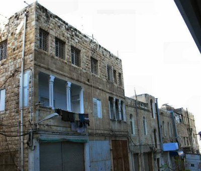
 An Old Building In Shivat Zion St. Where The Wall Turned To The East.JPG |
 Another Old Building In Shivat Zion st.JPG |
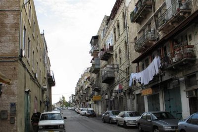
 View From Shivat Zion St. At What Was In The 18th Century The Heart Of "New Haifa", Within The Walls.JPG |
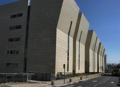 Rear Of Courts Building At Shivat Zion St. (View From West).JPG |
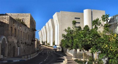 Eastern End Of Shivat Zion St. At Background - Rear Of Courts Building.JPG |
| previous page | pages 1 2 3 4 5 6 ALL | next page |
| comment | share |
| Ashley Hockenberry | 27-Apr-2007 20:51 | |