


|
|
|
|
|
|
| Jola Dziubinska | profile | all galleries >> AMERICAN SOUTHWEST 2013 >> MONITOR AND MERRIMAC BUTTES | tree view | thumbnails | slideshow |
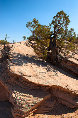
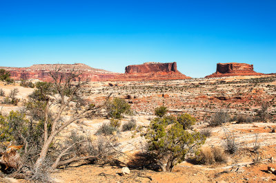
 Monitor And Merrimac Buttes |
 Monitor And Merrimac Buttes |
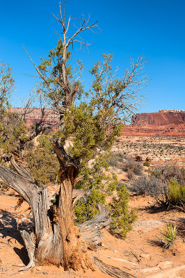
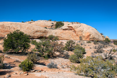
 Monitor Butte |
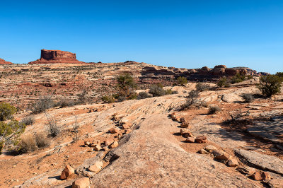
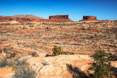
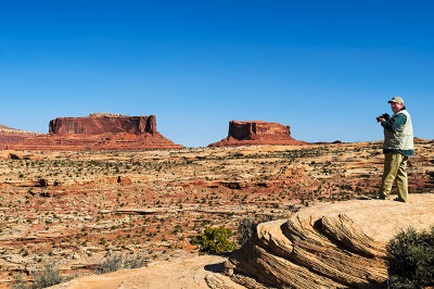
 Monitor And Merrimac Buttes Viewpoint |
 Monitor And Merrimac Buttes Viewpoint |
 Monitor And Merrimac Buttes Viewpoint |
 Monitor And Merrimac Buttes |
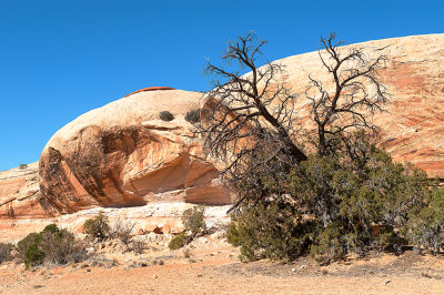
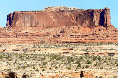 The Merrimac Butte |
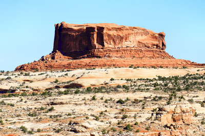 The Monitor Butte |
 Monitor And Merrimac Buttes |
 Monitor And Merrimac Buttes |
| Monte Dodge | 22-May-2013 02:35 | |
| Tomasz Dziubinski - Photography | 20-May-2013 22:29 | |
| Ken Duckert | 20-May-2013 12:34 | |