


|
|
|
|
|
|
| John Meyer | profile | all galleries >> Galleries >> Lybrook Badlands - Spring 2024 | tree view | thumbnails | slideshow |
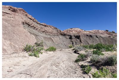
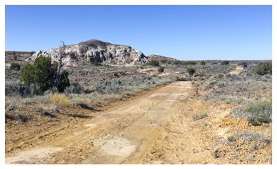 Park here and start walking |
 The hills are alive |
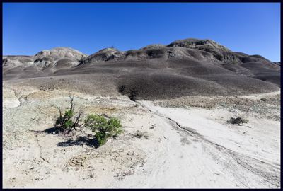 Georgia O'Keefe might recognize these black clay hills |
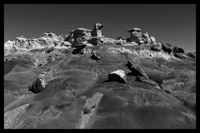
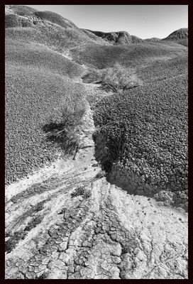 The perfect landscape for honing one's b&w processing chops |
 No trail - just follow the landforms (and memorize the path behind you) |
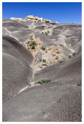
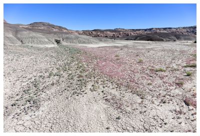 Desert in bloom: bulbous springparsley going nuts |
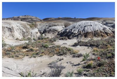
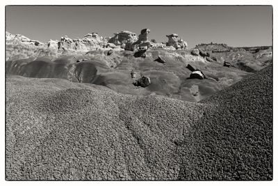
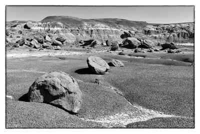 Rock garden |
 Something interesting appears over the ridge at left |
 Narrow passage |
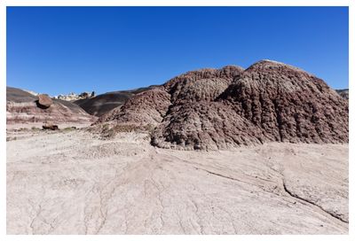
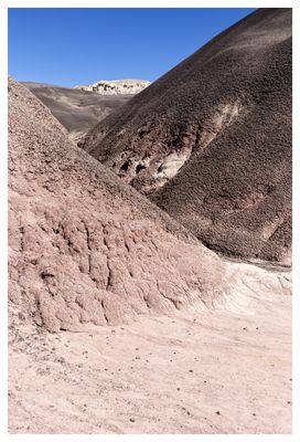
 Colorful terrain |
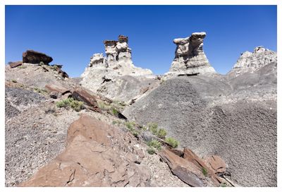
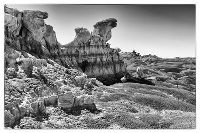
 Approaching the hoodoos |
 Divot |
 Erosion did this |
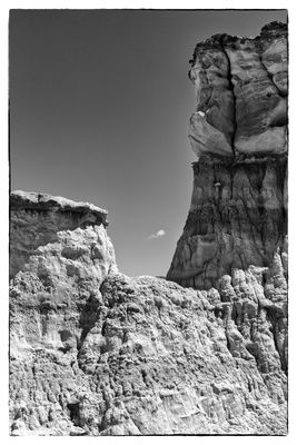
 Another view |
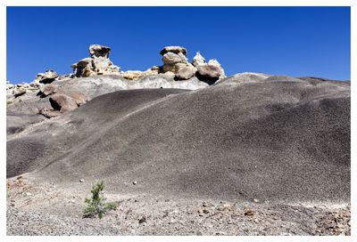
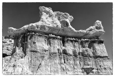
 hilltop battlements |
 Land of wonders |
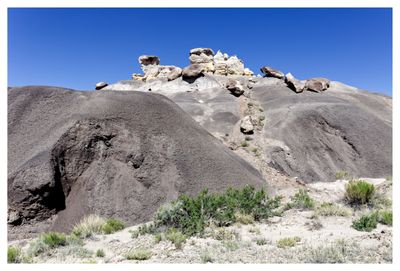
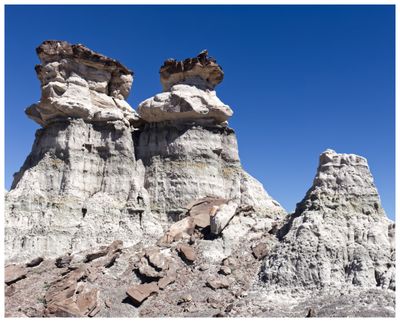
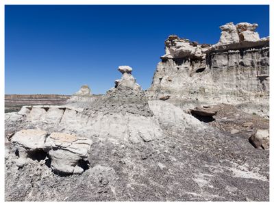
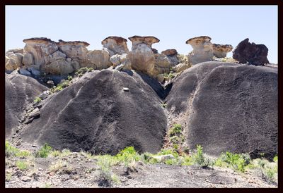
 The titans |
 Family unit |
 Another angle |
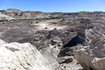
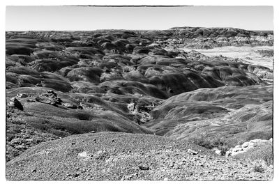 Sea of gray |
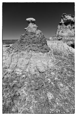
 Pinnacle |
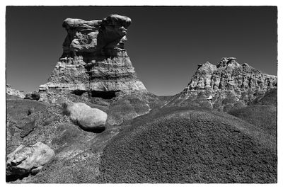
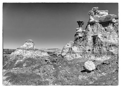
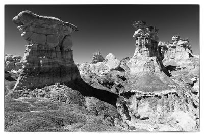
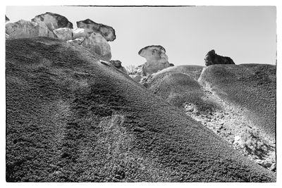
 Study in b&w |
 Complex landforms |
 Weathering |
 On its back |
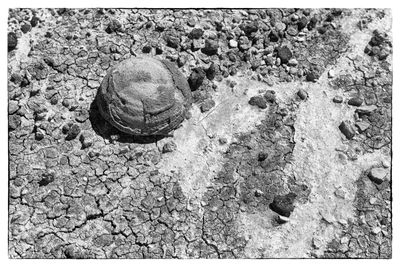 Concretion |
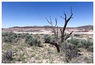
 Lonely cloud |
 Overseer |
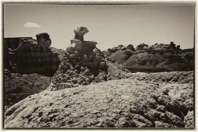
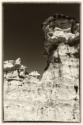 Sepia subject |
 More to explore |
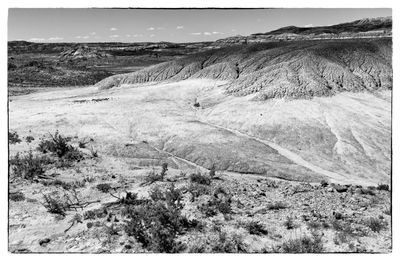
 Beyond the scarp |
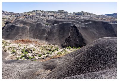
 Land of the giants |
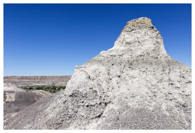
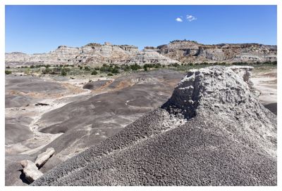
 Caprock |
 Steep slope |
 Retracing steps |
 Low lonesome |
| comment | share |