


|
|
|
|
|
|
| John B. Chandler | profile | all galleries >> Enchanted Rock,Texas State Natural Area Gallery: Views from the Loop Trail >> Gallery: The Enchanted Rock | tree view | thumbnails | slideshow |
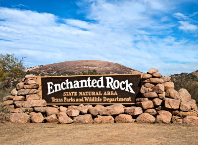 Enchanted Rock State Natural Area, Gallery: The Enchanted Rock |
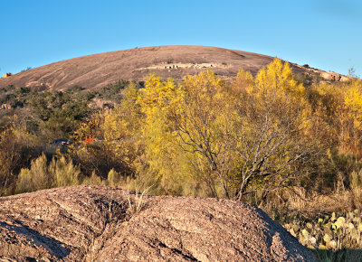
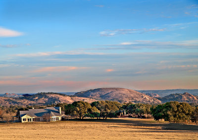 Distant view with ranch house in foreground |
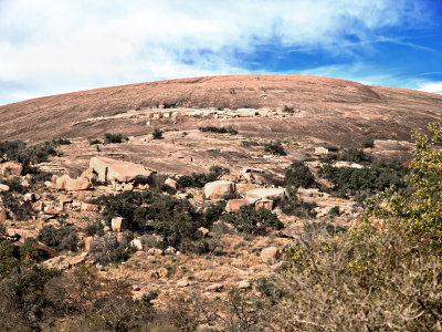
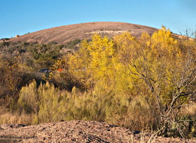 Enchanted Rock #1 |
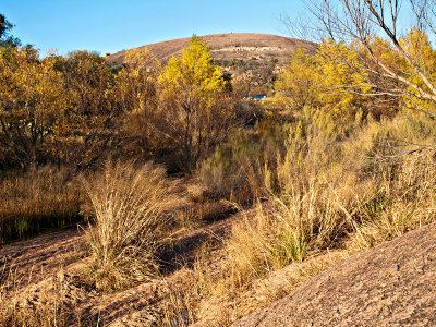 Enchanted Rock #2 |
 Enchanted Rock #3 |
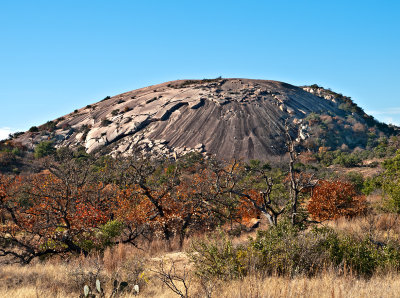 Enchanted Rock #4 |
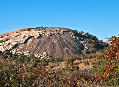 Enchanted Rock #5 |
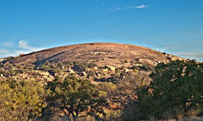 Enchanted Rock #6 |
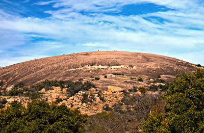 Enchanted Rock #7. Note specks on top. See next image. |
Those tiny little spcks on the previous image are people hiking up to the summet. |
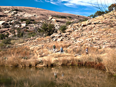 Hiking below the rock |
 The Rock with hikers scatterd about. How many hikers can you find? See next image. |
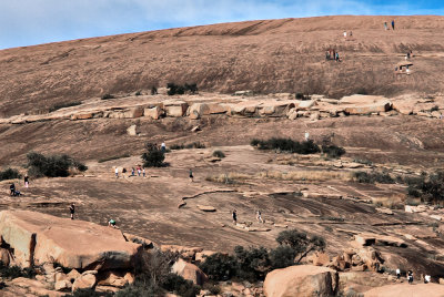 Hikers on rock. This is a crop of the previous image. How many hikers can you find? (I count 31) |
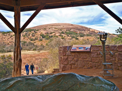 Hikers returning from Summit Trail, with rock in background and bronz sculpture of rock in foreground |
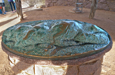 Bronz sculpture of Enchanted Rock |
| comment | share |