


|
|
|
|
|
|
| Joseph Giitter | profile | all galleries >> Places >> America >> Iowa (more than corn) >> Loess Hills National Scenic Byway | tree view | thumbnails | slideshow |
| previous page | pages 1 2 ALL | next page |
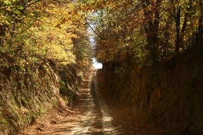 Olive Road |
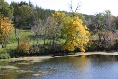 Loess Hills Lake |
 Inside the Danish Church |
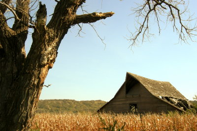 Decaying Barn |
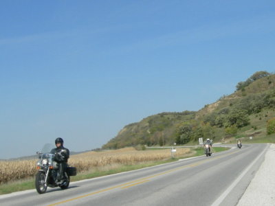 Easy Riders |
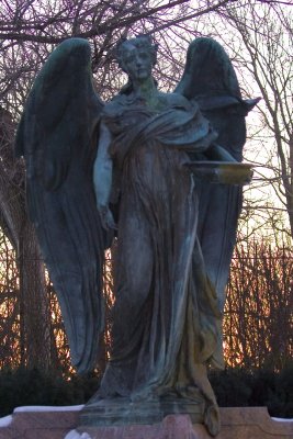 Black Angel |
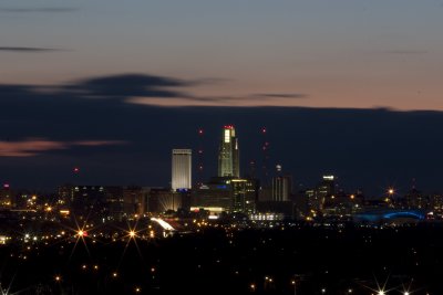 View from Lincoln Monument, Council Bluffs |
| previous page | pages 1 2 ALL | next page |
| comment | share |