


|
|
|
|
|
|
| Joseph Giitter | profile | all galleries >> Places >> America >> Iowa (more than corn) >> Loess Hills National Scenic Byway | tree view | thumbnails | slideshow |
| previous page | pages 1 2 ALL | next page |
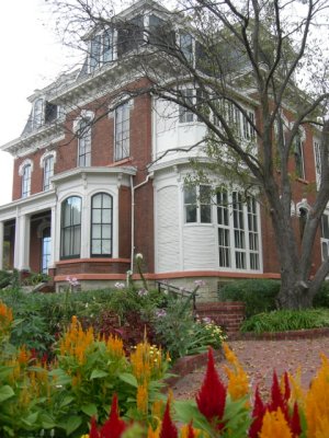 Dodge House, Council Bluffs |
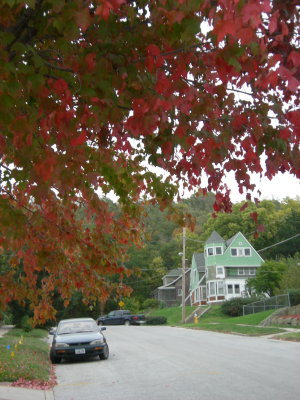 Council Bluffs #1 |
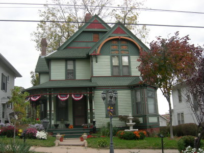 Council Bluffs #2 |
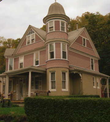 Council Bluffs #3 |
 Scenic View off of I-680 |
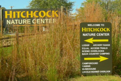 Hitchcock Nature Center |
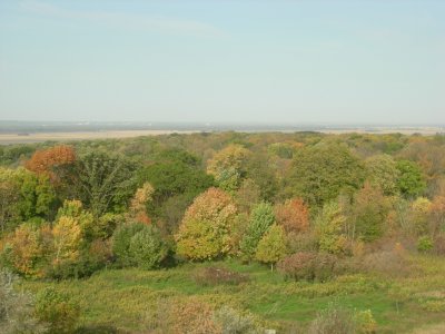
 View from Hitchcock Lookout Tower |
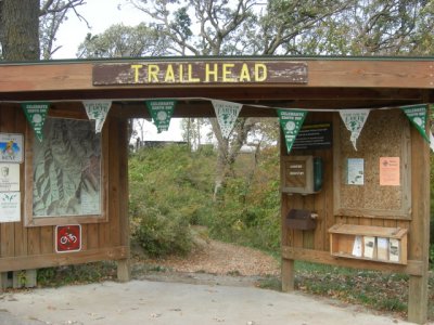 Trailhead--Hitchcock Nature Center |
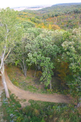
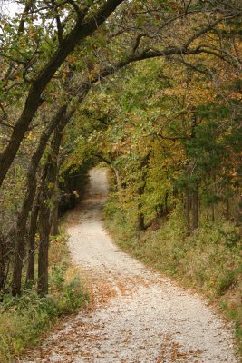 Hitchcock Path |
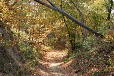 Hitchcock Chute Trail |
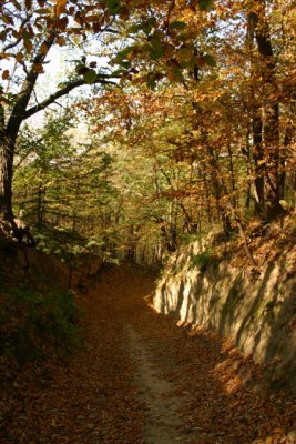 Hitchcock Dozer Cut Trail |
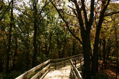 Hitchcock Boardwalk |
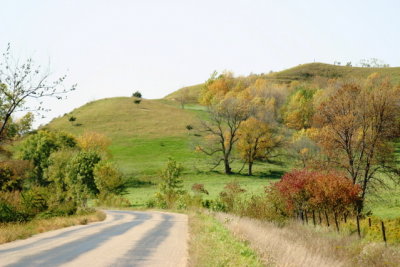
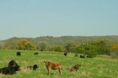 Pasture |
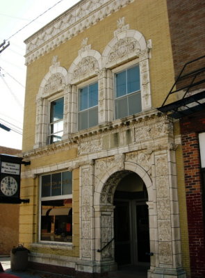 Logan, Iowa |
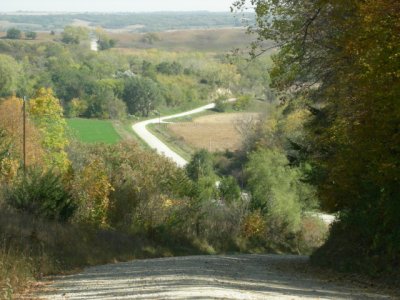
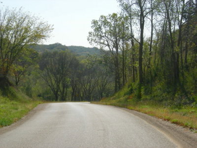 Loess Hills Scenic Byway #1 |
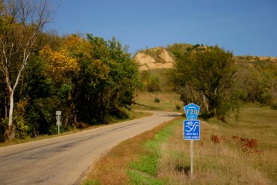
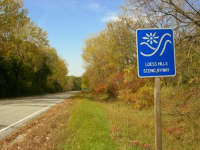 National Scenic Byway |
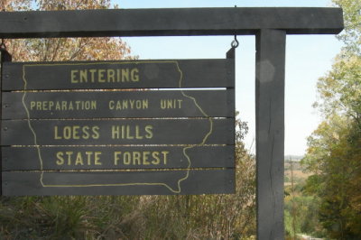 Loess Hills State Forest |
 Preparation Canyon |
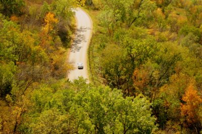
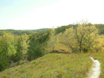 Walking along the ridge lines |
 Loess Hills State Forest |
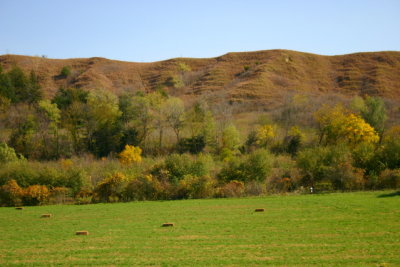 Field of Hay |
 Scenic Byway #2 |
 Scenic Byway #3 |
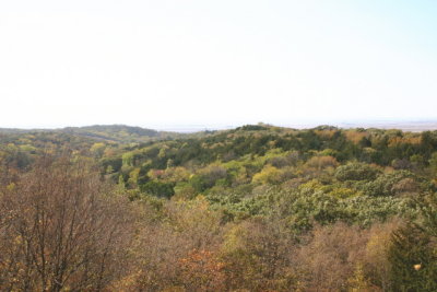
 View from Murray Hill |
| previous page | pages 1 2 ALL | next page |
| comment | share |