


|
|
|
|
|
|
| Jack Hoying | profile | all galleries >> Photos from our Trips >> Northern Utah, 2005 >> Backpacking trip to Kings Peak, Utah | tree view | thumbnails | slideshow |
| previous page | pages 1 2 ALL | next page |
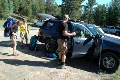 Starting out at the trailhead |
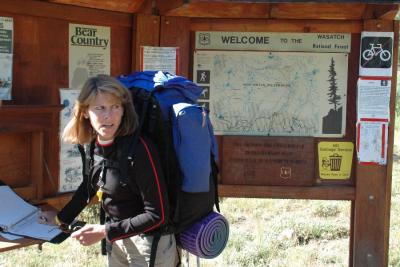 Signing the register |
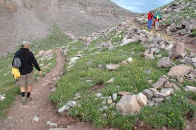
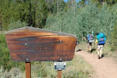 Starting up the trail |
 DSC_4962.jpg |
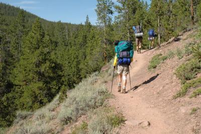
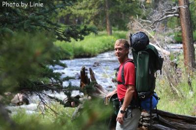
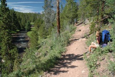 Hiking along the Henry Fork river |
 DSC_4975.jpg |
 IMG_3784.jpg |
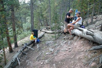 Lunch break |
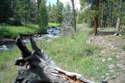
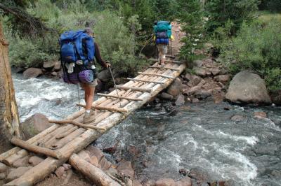 Elkhorn crossing of the Henry Fork |
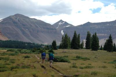
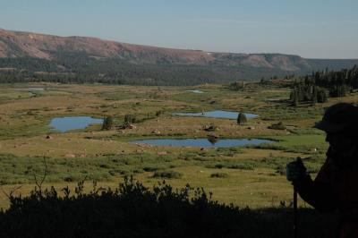
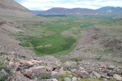
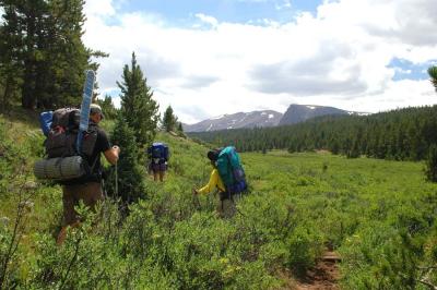 Coming into the Henrys Fork basin |
 First view of Kings Peak |
 DSC_5019.jpg |
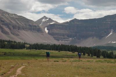
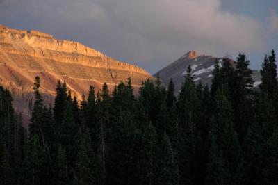
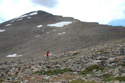
 Kings Peak looming in the background |
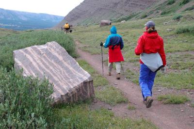
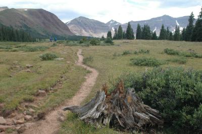 Along the trail to Dollar Lake |
 Closing in on our campsite at Dollar Lake. |
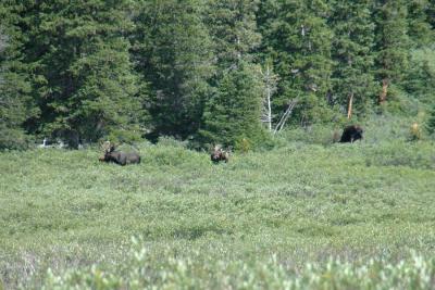 Moose grazing along the treeline. |
 DSC_5056.jpg |
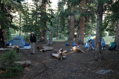 Our campsite at Dollar Lake. 10,800' altitude. |
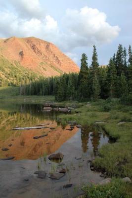 Dollar lake reflection 1 |
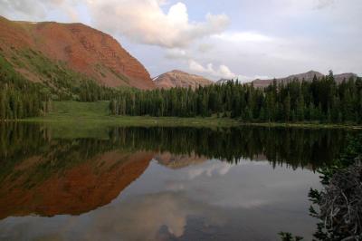 Dollar lake reflection 2 |
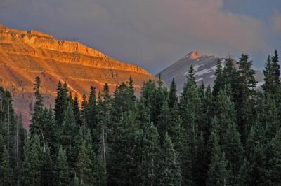
 Sunset on Kings peak (right) |
 DSC_5097h.jpg |
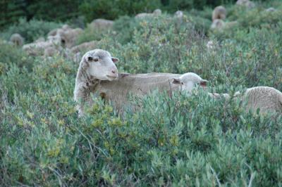 Sheep grazing along the trail to the peak. |
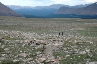
 Gaining some altitude above Henrys Fork basin |
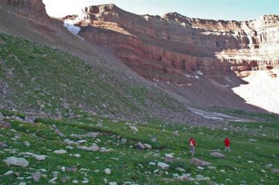 Getting close to the Anderson Pass scree field |
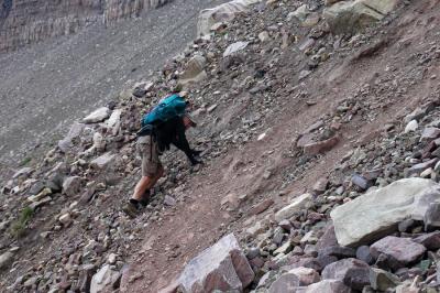
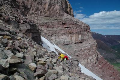
 Starting up the steep climb |
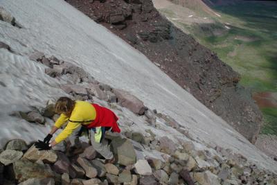
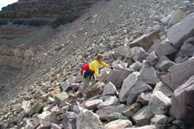
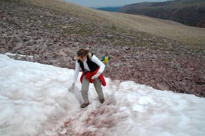
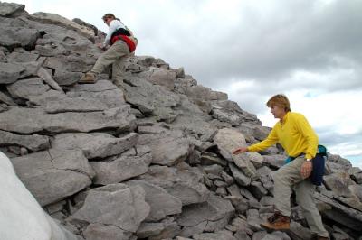
 Diane working her way up the rocks |
 DSC_5138.jpg |
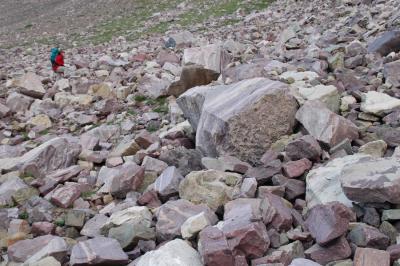
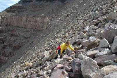
 The big rocks were much easier to climb than the small loose rocks |
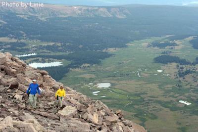
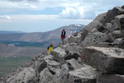
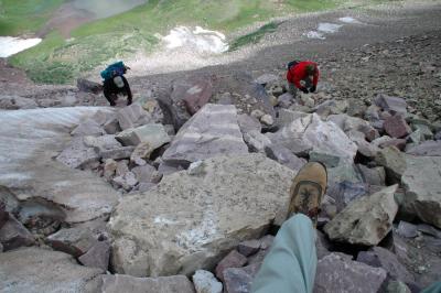 Looking down on Linie & Brenda |
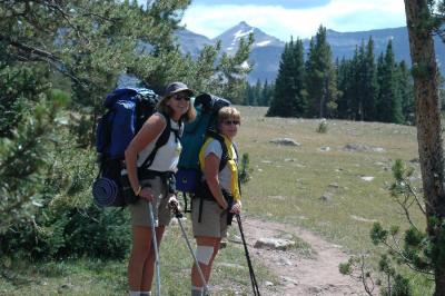
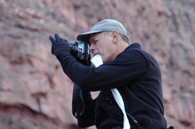
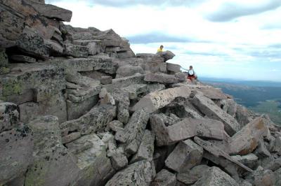
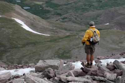
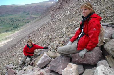 Resting and taking in the view |
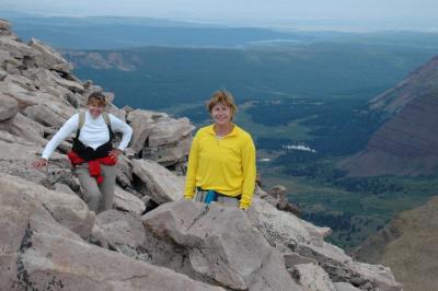
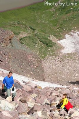 We're over half way up. |
 IMG_3851.jpg |
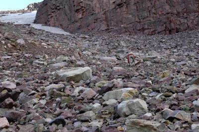
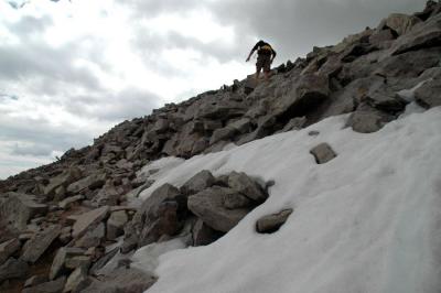
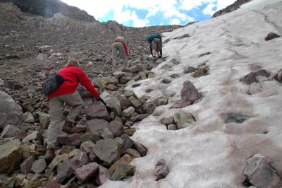 The best rocks to climb were next to the snow |
 DSC_5167.jpg |
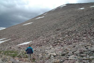
 Onward and upward |
 DSC_5177.jpg |
 DSC_5184.jpg |
 Almost to the top of the pass |
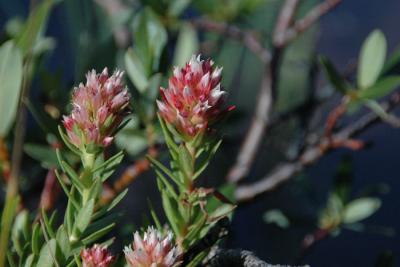
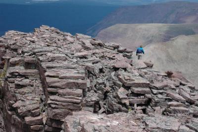
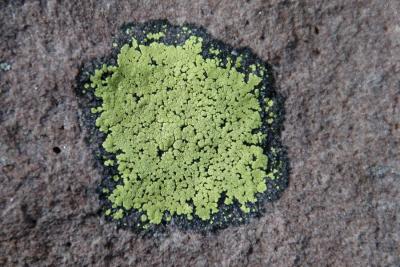 Lichen on the rocks |
 Finally on top of the pass. The Peak is still a long ways up |
 DSC_5200.jpg |
 DSC_5218.jpg |
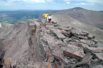
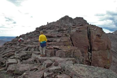 Working our way up the ridge of Kings Peak |
 DSC_5222.jpg |
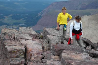
 Step by step |
 The rocks got larger as we got higher up the peak |
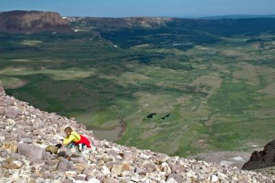
 A couple hundred feet to go. Dollar lake (our base camp) in the background |
 Getting closer to the summit. Linie is in the left center of the photo. |
 Linie at one of the many false summits |
 Still climbing the ridge |
 Are we there yet??? |
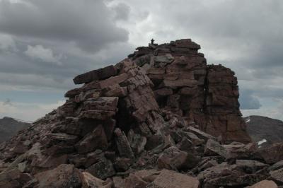
 On the top of Kings Peak. Highest Point in Utah. 13,540' altitude |
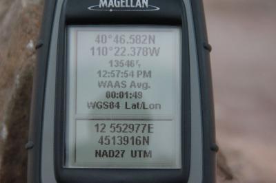 GPS readings at the top of Kings Peak, Utah |
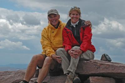 Linie & Diane on top of Kings Peak |
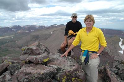
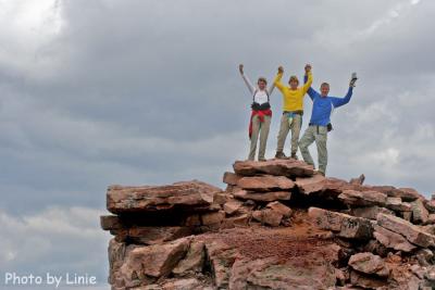
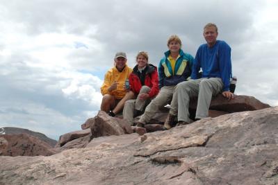 The whole crew on top of Utah |
Panorama from Kings Peak |
 Starting the climb down |
 Trying to decide on a different route down |
 DSC_5288.jpg |
 Back down on the Anderson Pass level |
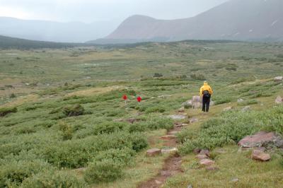
 Hiking towards Painter Basin |
 The effects of altitude sickness setting in. |
 A light rain adds to the joy of the 8 mile hike back to camp |
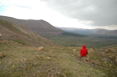
 Contemplating the climb over Gunsight Pass to get back to Henrys Fork Basin |
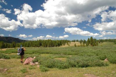
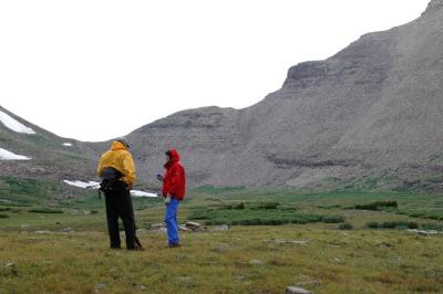
 A look back at Painter basin |
 Coming down the switchbacks from Gunsight Pass |
 A couple miles to go. |
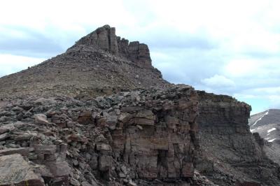
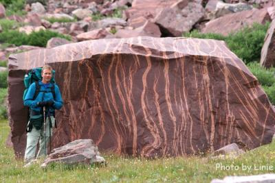 Amazing rocks along the way |
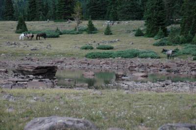 A couple horses grazing near a pond |
 After packing up the next morning, we are heading back to the trailhead in a light rain |
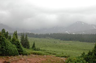 Rain covering the mountains behind us |
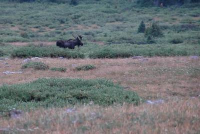 A moose greeting us along the trail |
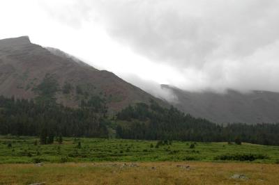 Clouds dropping down the mountains |
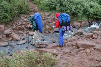
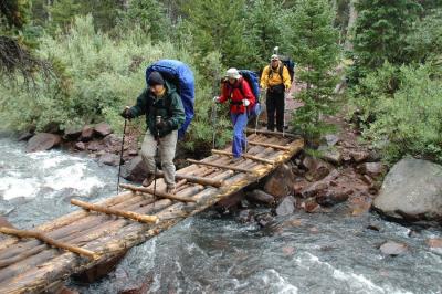 Crossing the bridge at Elkhorn crossing |
| previous page | pages 1 2 ALL | next page |
| Tom | 23-Aug-2005 02:11 | |
| Luke | 21-Aug-2005 20:18 | |
| Barb | 21-Aug-2005 11:13 | |
| fotabug | 20-Aug-2005 14:51 | |