


|
|
|
|
|
|
| Jim Larkey | profile | all galleries >> Galleries >> South San Juan Wilderness, CO 2001 | tree view | thumbnails | slideshow |
| previous page | pages 1 2 3 4 5 6 7 8 ALL | next page |
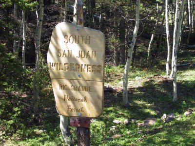 The South San Juan Wilderness, CO |
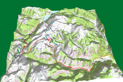
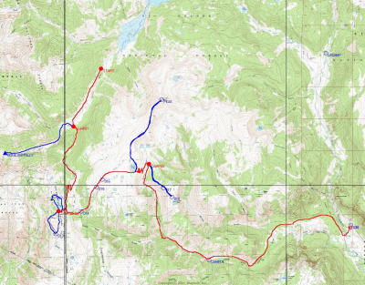 The Journey |
 There were "hills"......... |
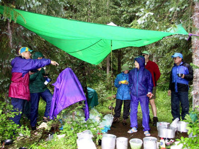
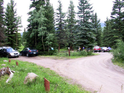 Lake Fork Carcamp, Sunday Night, Aug.12, 1st Night in Tent |
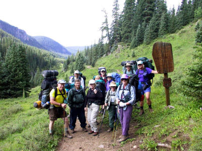 The Gang |
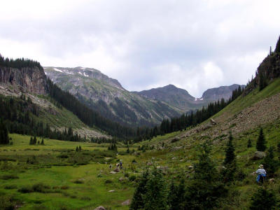
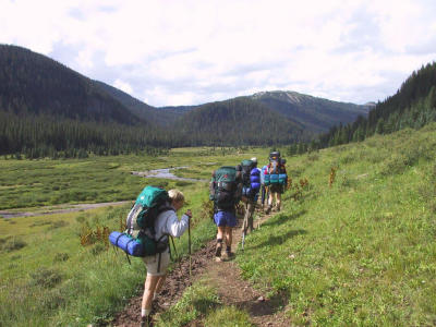 Three Forks Bound |
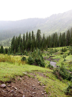
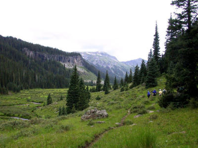 Along the South Fork of the Conejos River |
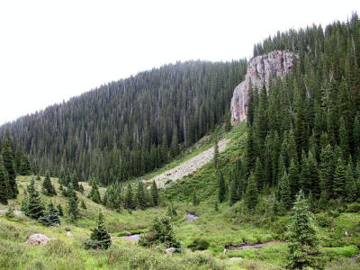
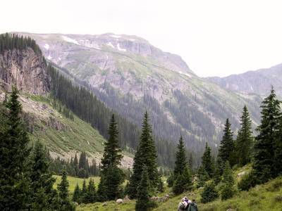 Snow in the Peaks |
 The Conejos River |
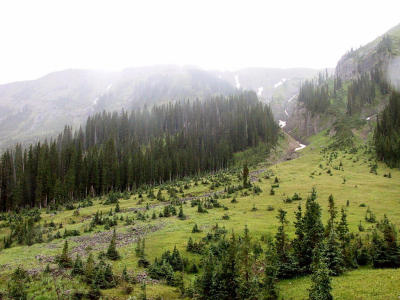
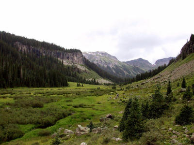 Broad U-Shaped Valley of S. Fork, Glacier Formed |
 Gunsight Pass |
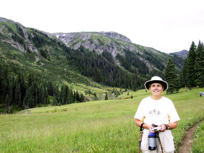 Linda, Time to Hydrate |
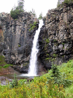 Conejos Falls, 80 ft. Plunge, Middle Fork |
 WIll it Rain??? |
 Three Forks |
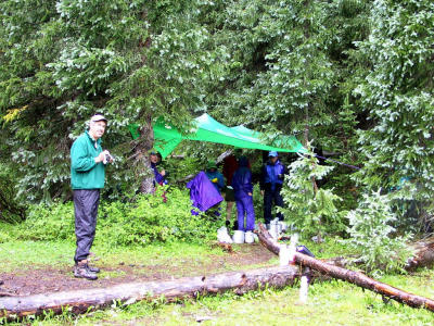 Dinner in the Rain, Monday Night |
 "Five Minutes on the Starbucks....Not More, Not Less!!!" |
 Tranquility, Three Forks Camp |
 "You Are the Weakest Link.....Goodbye!!!!" |
 Climbing South, Along the El Rita Azul Trail |
 The El Rita Azul |
 Linda & Sue |
 Waterfall on the Azul |
 Linda Surrounded by Dense Spruce & Ponderosa Pines |
 Time to Cool Those Hot-Spots |
 Horseshit and Mud |
 Finally, Blue Lake |
 Dinner, Tues Night at Blue Lake |
 Planning...... |
 Horseman |
 "Pale Rider" |
 Conejos Peak in the Distance.....Our Goal |
 Blue Lake, The Headwater of the South Fork |
 Blue Lake |
 Blue Lake |
 Burnt Out Cabin, Blue Lake |
 Jim & Linda's Camp, Blue Lake |
 Just West of Blue Lake |
 Looking up To the Continental Divide |
 Conejos Peak, in the Distance |
 Another Shot Of Conejos Peak Over Blue Lake |
 Blue Lake Camp Below |
 Linda & Jim |
 Early Morning Calm on Blue Lake |
 Shrooms |
 Navajo Valley |
 The Last Griz Was Killed in The Basin of The Navajo Valley, Near Blue Lake, In 1979 |
 Navajo Valley |
 Blue Lake, A Remote Glacial Cirque |
 Blue Lake, Headwater of S. Fork on Far (S.) Side |
 Pinnacles on North Side of Blue Lake |
 Just Above Timberline, Conejos Peak on the Horizon |
 Alpine Valley Flowers |
 SE View of Blue Lake |
 Alpine Valley Flowers |
 "The Magnificent Four", Dayhike On the Continental Divide Trail |
 Cairn on the Continental Divide Trail |
 Jim, Supporting the Cairn on the Continental Divide |
 Navajo Valley |
 Navajo Valley, Looking South |
 Navajo Valley, Looking North |
 Rock Formations, Navajo Valley Wall |
 Looking Toward Platoro |
 Looking North Toward Platoro, Blue Lake |
 Gunsight Pass, From the Continental Divide |
 Jim's Sweet Feet |
 Morning, A Drift of Grapple Around Our Tent From Overnight Storm |
 Starbucks, Compliments of Kin |
 Early Morning Sunrise on Blue Lake |
 We're Off To Conejos Peak |
 Cairn Along Conejos Peak Trail |
 Above Timberline, in the Alpine Tundra |
 Glacier Lake |
 Time For a Break At Glacier Lake |
 Glacier Lake |
 Glacier Lake, Gunsight Pass on the Horizon |
 Linda & Bob, Conejos Peak, Elev 13,172 |
 Conejos Peak Monument |
 Jim on Conejos Peak |
 Conejos Peak, Elev 13,172 |
 Conejos Peak, Elev 13,172 |
 The Magnificant Seven, On Conejos Peak |
 Linda & Jim on the Summit |
 Linda on Conejos Peak, Elev 13,172 |
 Summit View Looking NW |
 IMG_1203.JPG |
 IMG_1205.JPG |
 IMG_1206.JPG |
 The Summit Monument Register |
 Twin Lakes |
 Summit View Looking S, Twin Lakes |
 View of the Peak From Below |
 Linda on Switchback, Looking Down Canon Rincon |
 Twin Lakes Camp |
 Sunrise on Twin Lakes |
 Canon Rincon, Our Way Out |
 Jim |
 Pinnacles on Canon Rincon |
 Pinnacles on Canon Rincon, Near Timber Lake |
 The Gang |
 Canon Rincon, Looking North |
 Linda & Jim, Timber Lake Overlook |
 Timber Lake Overlook |
 Timber Lake Overlook |
 Conejos Peak |
 Lunch at Twin Lakes |
 Fellow Hikers |
 Can You See the Three Big Horns? |
 Waterslide, Canon Rincon |
 Mike Offers Bev A Helping Hand |
 South Fork Trail |
 South Fork Trail |
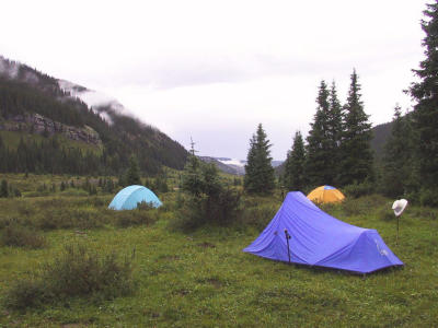
 South Fork Camp, Subalpine Forest |
 Sunset, South Fork Camp, Near Canon Verde |
 Sunrise, South Fork Camp, Near Canon Verde |
 Breakfast, South Fork Camp, Near Canon Verde |
 South Fork, Rock Mass, Confluence of Hansen Creek |
 South Fork, Rock Mass, Confluence of Hansen Creek |
 Wide Valley, South Fork Trail |
 Home Stretch |
 Bridge Before Final Trailhead, South Fork Conejos River. |
| previous page | pages 1 2 3 4 5 6 7 8 ALL | next page |
| comment | share |
| Jim Larkey | 29-Jul-2012 20:49 | |
| Kent Morgan | 05-Oct-2009 20:31 | |