


|
|
|
|
|
|
| Jim Larkey | profile | all galleries >> Colorado 14'er Peak Bagging, Jul '10 Climb >> View map fullscreen Mt Massive (14,421'), Standard Route | tree view | thumbnails | slideshow | map |
| previous page | pages 1 2 ALL | next page |
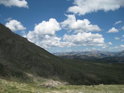
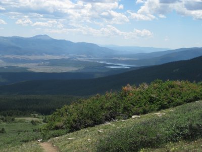
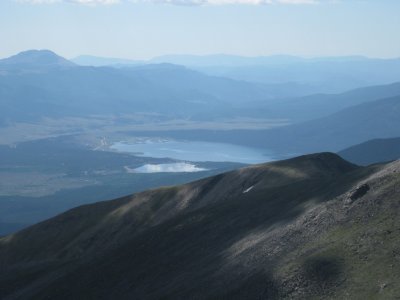 Summit View, Twin Lakes |
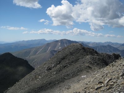 Summit View of Mt Elbert (14,433'), Poking It's Nose Above Ridge (center) |
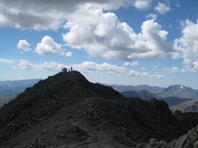 Looking Back on Summit, Mt Massive (14,421')...We Weren't Alone |
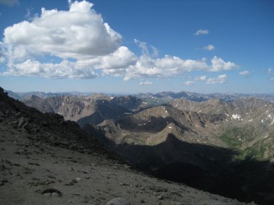 Beginning Our Descent |
 Viewing Leadville |
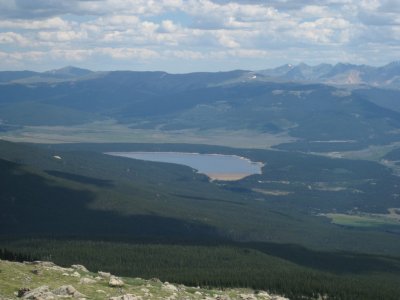
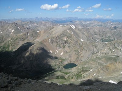 N Halfmoon Lake |
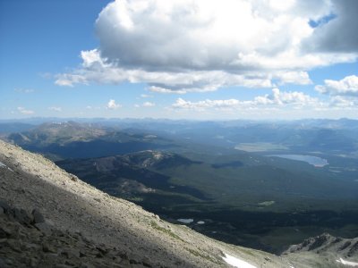 Turquoise Lake, E Slope of Mt Massive (left) |
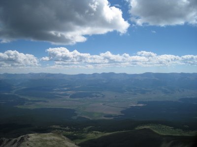
 Twin Lakes, E Slope of Mt Massive (right) |
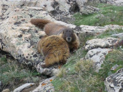 Playful Couple, Marmots |
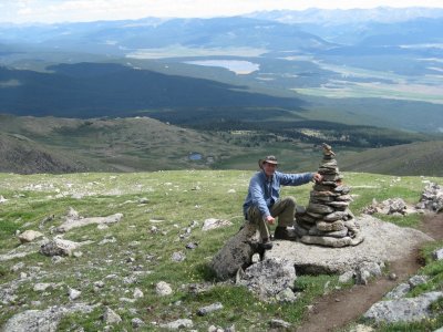 Self-Portrait |
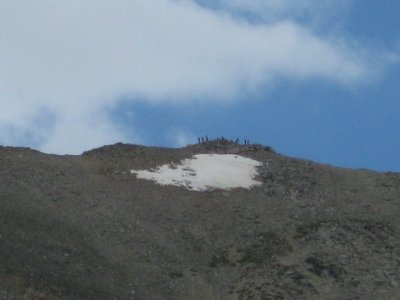 Hundreds of Hikers Headed for the Summit (above snow-patch), Glad We Had an Alpine Start |
 Outward Bound Leadville Basecamp (in trees, center of photo) |
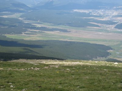
 Looking N'ly |
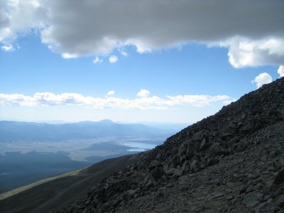
 Turquoise Lake, Note Dam |
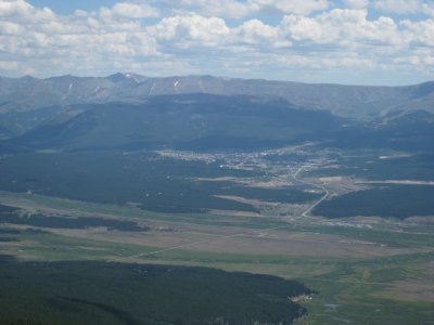 Leadville, Elevation 10,200', Highest Incorporated Town |
 Looking Back at Mt Massive (14,421') Ridge, Bristled With Late Climbers |
 Massive Trail Across Tundra, Approaching Treeline |
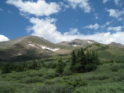 Looking Back at Mt Massive (14,421') right, and S Massive left |
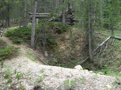 Old Miner's Cabin on the Colorado Trail, Tailings w Mica Deposits Nearby |
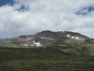
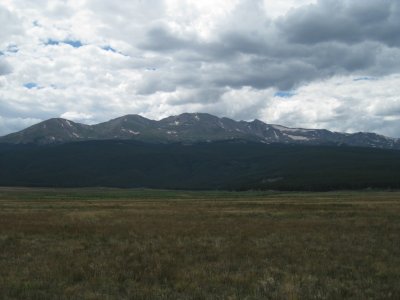 Mt Massive (14,421') From a Distance (center), S Massive (left of center) |
| previous page | pages 1 2 ALL | next page |
| comment | share |