


|
|
|
|
|
|
| Jim Larkey | profile | all galleries >> Colorado 14'er Peak Bagging, Jul '07 Climb....Little Bear, El Diente, Antero, Democrat, & Bross >> Little Bear Peak, Elev 14,037 ft | tree view | thumbnails | slideshow |
| previous page | pages 1 2 3 4 ALL | next page |
 Blanca in the Distance on Right |
 Kurt Huffing the "Toughest Road".....Descent!!! |
 At "The Bottom", Sangre's on the Skyline, Time Approx 6:00PM |
 Weather Moving In |
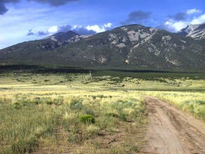 The Blanca Group, and the Beginning of the Five Miles From Hell Road...CR-975! |
| previous page | pages 1 2 3 4 ALL | next page |
| comment | share |