


|
|
|
|
|
|
| Jim Larkey | profile | all galleries >> Colorado 14'er Peak Bagging, Jul '09 Climb....Huron >> Huron Climb | tree view | thumbnails | slideshow | map |
| previous page | pages 1 2 3 ALL | next page |
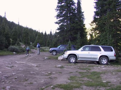 4WD TH, Parking |
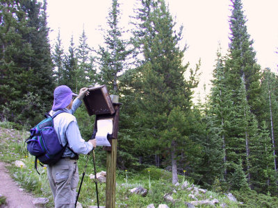 USFS Register |
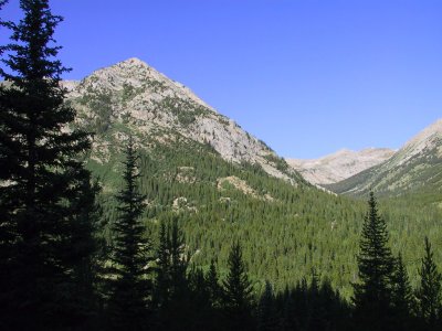 Glacial Valley, Not Much Evidence of Pine Bark Beetle Here |
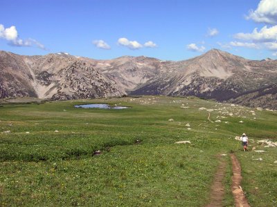
 First Glimpse of Our Goal, Huron Peak |
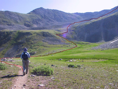 The Trail Up |
 Pretty Easy Going Here |
 That's the Summit Cone, a Pile of Rocks |
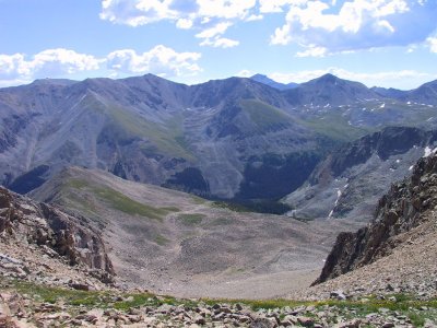 Lake Fork Creek Drainage, Provides Access to Missouri Mtn (14,067') as Well as Huron Peak |
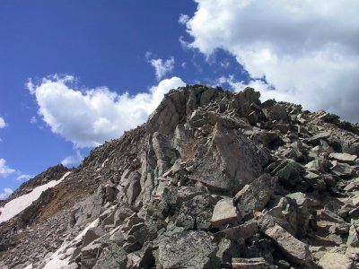 Up the Talus Slope. The Trail is Well Worn |
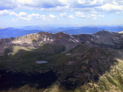
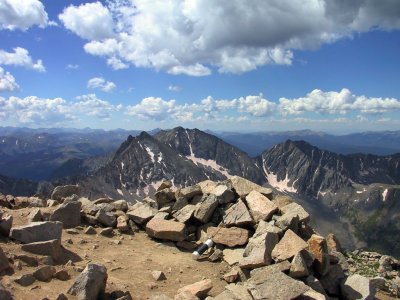 Summit Register, and The Three Apostles on the Center Skyline |
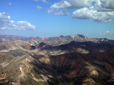
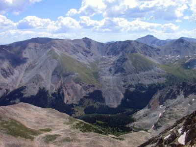
 Missouri Mtn (14,067') on Center Skyline |
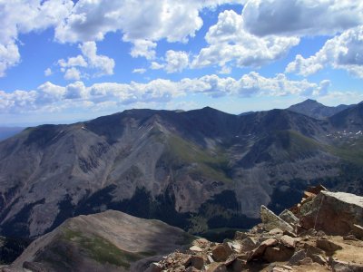
 Summit View Looking W'ly, Note Red Mountain |
 Huron Summit (14,003') Looking NW'ly |
 Closer Shot of Red Mountain |
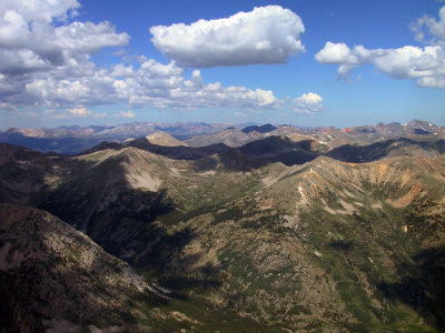
 Taylor Park Reservoir Beyond First Ridge Line |
 Two Unnamed Lakes, Nearest is at 11,900' and Furthest at 12,200' |
 Lake Clohesy (Lower Left) Basin Approach to Missouri Mtn. Missouri is 14er Just Left of Center, Next to the Right is Iowa Peak |
 Summit View of Brown's Peak 13,523' (Ridgeline leading to just left of center of photo) |
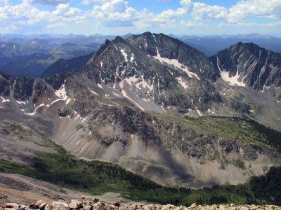
 Another Shot of Missouri Mtn |
 "The Three Apostles" (13ers) on the Near Skyline, Lie on the Continental Divide |
| previous page | pages 1 2 3 ALL | next page |
| comment | share |