


|
|
|
|
|
|
| Jim Larkey | profile | all galleries >> Colorado 14'er Peak Bagging, Jul '07 Climb....Little Bear, El Diente, Antero, Democrat, & Bross >> Mt. Democrat (Elev 14,148') & Mt. Bross (Elev 14,172') | tree view | thumbnails | slideshow |
| previous page | pages 1 2 3 ALL | next page |
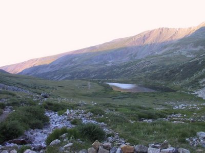 Kite Lake Trailhead, Dawn Alpenglow |
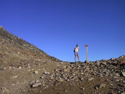 Kerry at the Saddle, on Route to Democrat |
 Note Other Democrat Hikers on Ridgeline |
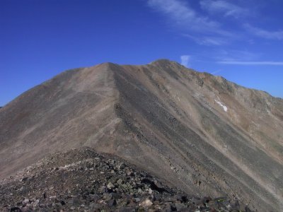
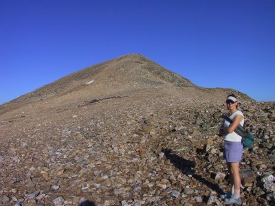 That's the Summit, Democrat |
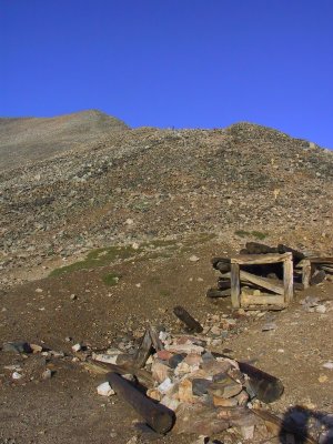
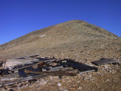 Mining Ruins, Below Democrat Summit |
 Climax Mine (Active), N of Leadville, Viewed From Summit Democrat |
 Distant Skyline, La Plata Pk on Left, Mt. Elbert Near Center, Viewed From Summit Democrat |
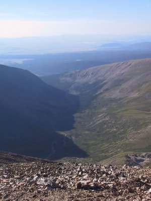 Buckskin Creek Drainage, Kite Lake Rd. |
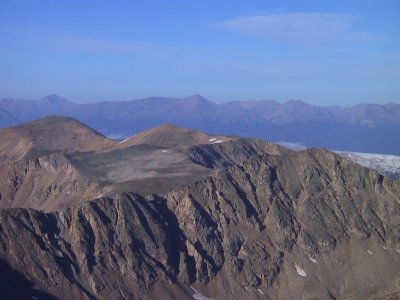
 Mt. Bross on Distant Skyline, Viewed From Summit Democrat |
 Quandary Pk (Elev 14,265') on Skyline, Platte Gulch, & Wheeler Lake |
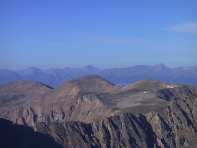 Distant Skyline, La Plata Pk (Elev 14,336") Center, Mt Elbert (Elev 14,433') on Right, Viewed From Summit Democrat |
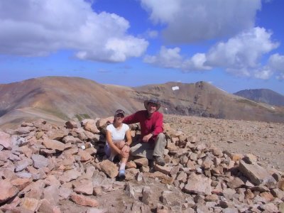
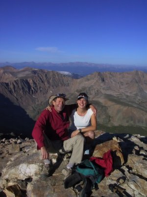 Mt. Democrat Summit Photo, Dad & Kerry |
 Our Summit Portrait Photographers, Clay & His Partner |
 Note Recent Snow From Overnight Storm, on Right |
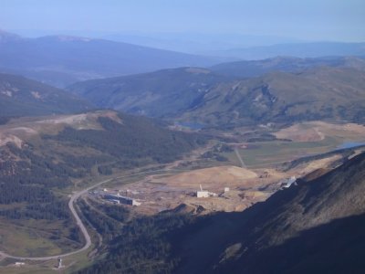 Tailings From Climax Mine, N. of Leadville, Viewed From Summit Democrat |
 Ridgeline to Lincoln and Bross |
 Kite Lake Basin, From Ridge to Lincoln |
 New Grapple From Overnight Storm |
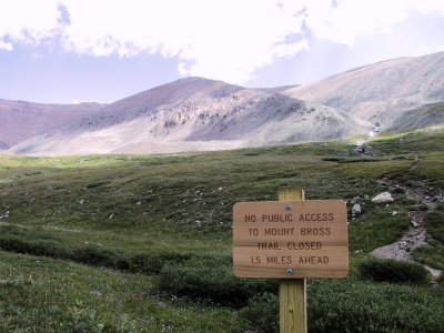
 Newly Posted |
 Mt Lincoln on Skyline, Viewed From Slope to Bross |
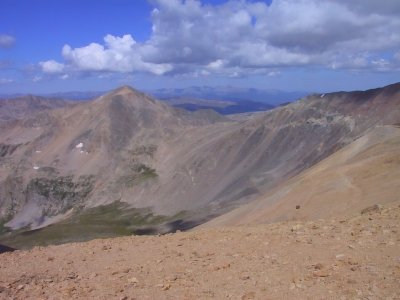
 Mt Democrat, Viewed From Summit Bross |
 Mt Lincoln & W. Access Ridge, Quandary Pk on Right Skyline |
 Summit of Mt Bross (Elev 14,172), Mt Lincoln in Background |
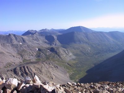
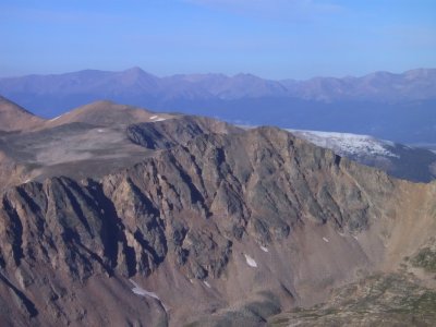
 Skyline View of Mt Democrat & Ridge to Bross, Viewed From Summit Bross |
 One of the Liability "Issues" |
 Another of the "Issues" |
 View of Kite Lake CG, Lower Left, and Mt Democrat, Upper Right |
 Falls Near Kite Lake CG, Mt. Bross in Background |
 One-Hand, Arms-Length Self-Portrait |
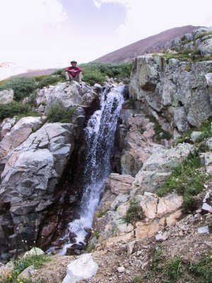 Falls, Mt Bross in the Background |
 Kerry Pauses to "Smell The Roses" |
 Will the Lincoln Group Go the Way of Culebra Pk?... See URL Link Below Explaining Liability Issue |
 KA, & Her Trusty "Lamb Chop" |
| previous page | pages 1 2 3 ALL | next page |
| comment | share |