


|
|
|
|
|
|
| Jim Larkey | profile | all galleries >> Colorado 14'er Peak Bagging, Jul '10 Climb >> Capitol Peak (14,130'), Standard Route, NE Ridge | tree view | thumbnails | slideshow | map |
| previous page | pages 1 2 3 4 ALL | next page |
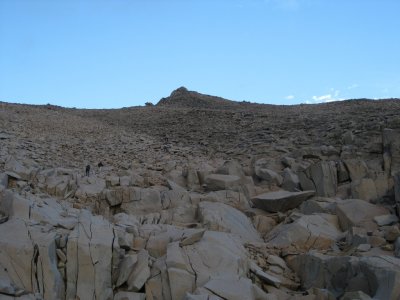
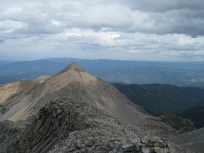
 There "She" Is (center skyline), All 14,130' of Her |
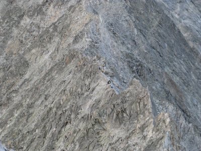
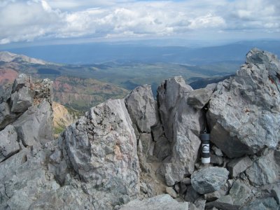
 A Penny for Your Thoughts.... |
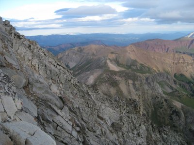
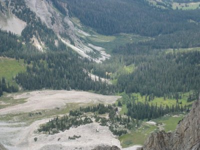
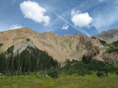 Sidewalls of the Valley, Note the Loose Rock of the "Slag Fields" |
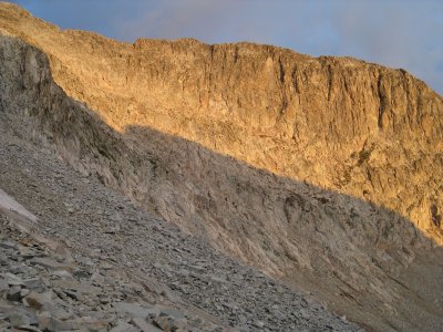
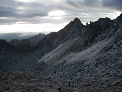
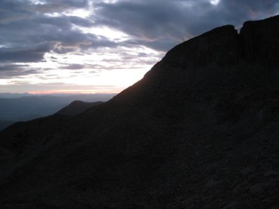 First Light on Climb-Day |
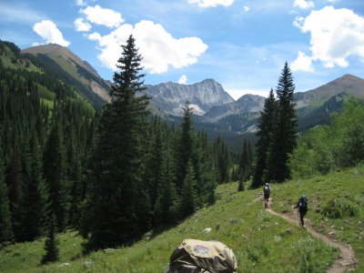
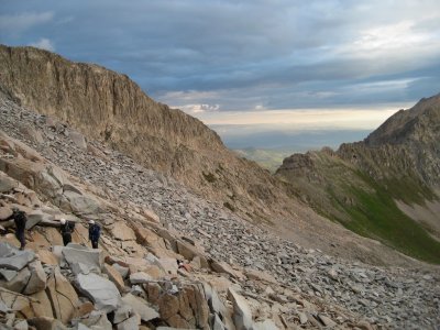
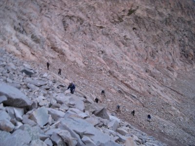 The Gang Ascending the Boulder Field |
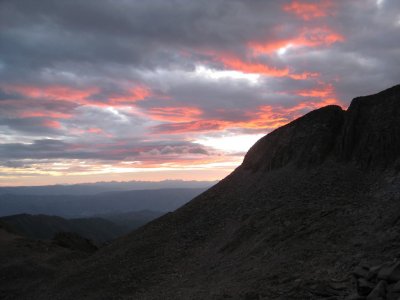 First Light on Climb-Day |
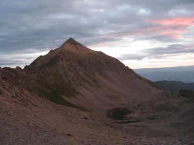 First Light on Mt Daly (13,300') |
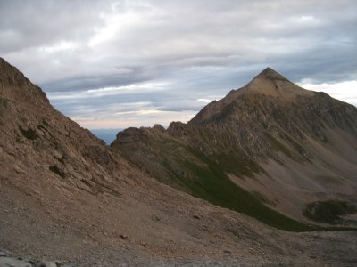 Saddle Between K2-Capitol Ridge, and Mt Daly (13,300') |
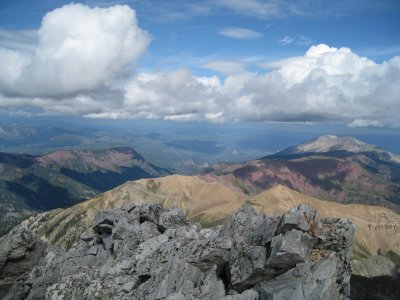
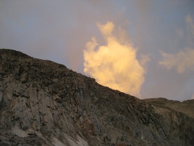 Some Early Morning Cloudplay Over the Ridgeline |
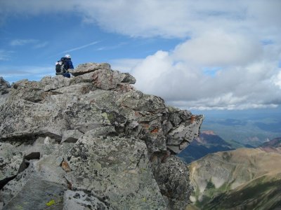
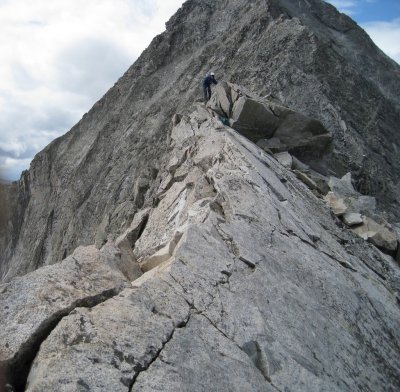
 Great Climbing Rock! |
 Saddle Between K2-Capitol Ridge, and Mt Daly (13,300') |
 Saddle Between K2-Capitol Ridge, and Mt Daly (13,300') |
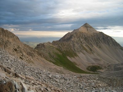
 First Peek of K2 (13,664'), Ascending the Boulder Field |
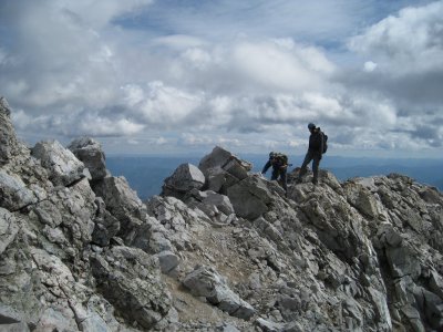
 Climbers Ascending the Boulder Field, Clark Peak Ridge (skyline) |
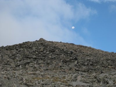 Moonset Near Summit of K2...Note Climbers Below |
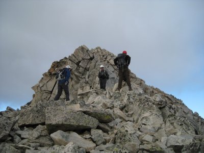 The Gang at the Base of K2's (13,664') Summit Cone |
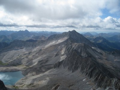
 N'ly View, Spiney K2-Capitol Ridge (foreground) |
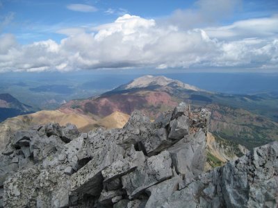
 Viewer Correction: Snowmass Mountain (14,092,), NOT Clark Peak, Pierre Lakes Below |
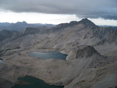
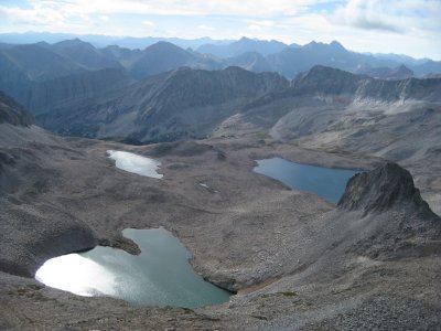
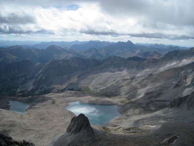
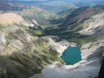
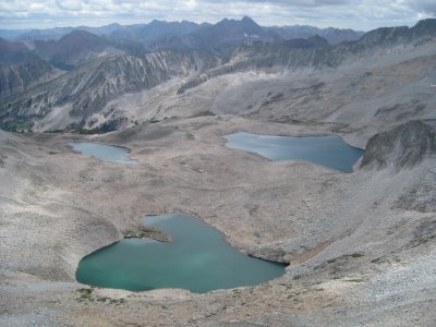
 Pierre Lakes Basin, Reportedly "home to very big trout" |
 Pierre Lakes Basin, Reportedly "home to very big trout" |
 Looking Back on the K2-Capitol Ridgeline, Mt Daly (skyline) |
 Viewer Correction: Snowmass Mountain (14,092,), NOT Ridgeline to Clark Peak, From Below Summit of K2 |
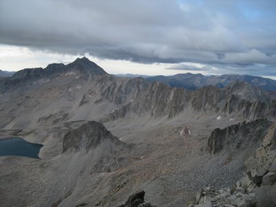
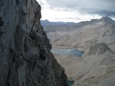
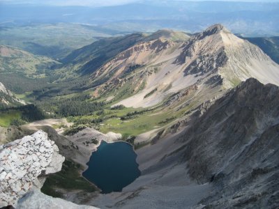
 Capitol Creek Drainage, From Summit of K2 (13,664). Capitol Lake Below |
 Capitol Creek Drainage, From Summit of K2 (13,664). Capitol Lake Below |
 K2-Capitol Ridgeline to Mt Daly (right), Capitol Creek Drainage (left center) |
 Viewer Correction: Snowmass Mountain (14,092,), NOT Clark Peak (13,664'), Pierre Lakes Basin Below |
 That's the One, View From Summit of K2 |
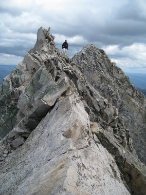
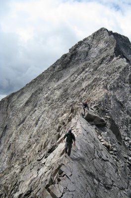
 Climbers Traversing the "Knife Edge" Ridge |
 Viewer Correction: Snowmass Mountain (14,092,), NOT Clark Peak (13,516'), Pierre Lake Basin Below |
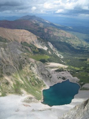
 Capitol Lake & Drainage Viewed From Summit of K2...Basecamp in Trees (right of center) |
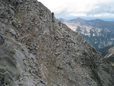
 Team Descending K2 (13,664'), Some Class 3/4 Scrambling |
 Brain Leading the Way Across the "Knife Edge" Ridge |
 Marietta in the Lead, On the "Knife Edge" |
 A Distant Climber Descending From the Summit, Capitol Peak (14,130') |
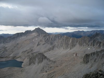
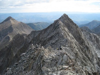 Looking Back at K2-Capitol Ridgeline, K2 (13,664') Prominent on Skyline |
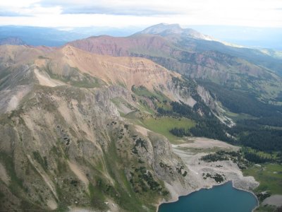
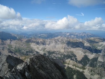
 Grand View of Capitol Creek Drainage, From K2-Capitol Ridgeline |
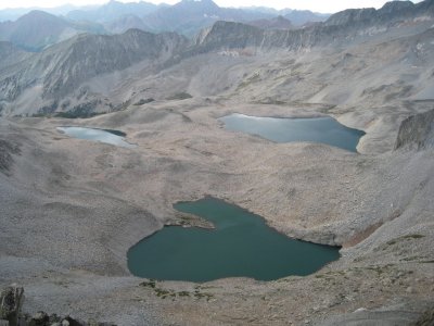
 Pierre Lakes Basin, From K2-Capitol Ridgeline, Below Capitol's Summit |
 Hole-In-The-Rock |
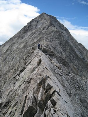
 Approaching Summit of Capitol Peak (14,130') |
 Jim, Register Signin at 10:33AM, Capitol Peak (14,130') |
 Register, Capitol Peak (14,130') |
 Looking N'ly Over Shelter at Summit of Capitol Peak (14,130') |
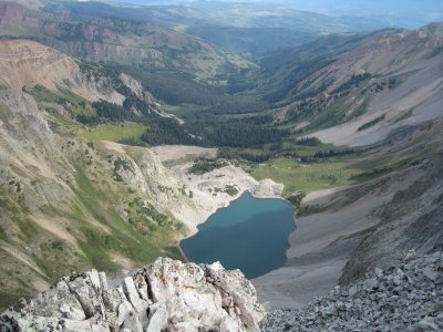
 Capitol Lake Basin and Drainage, From Summit Capitol Peak (14,130') |
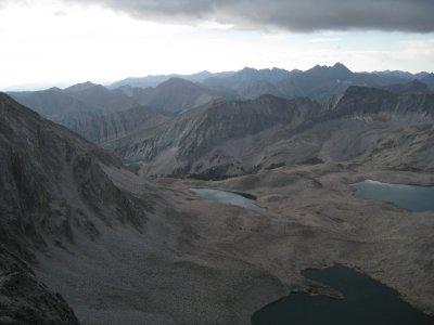
 Pierre Lakes Basin, View From Capitol Peak (14,130') Summit |
 Viewer Correction: Snowmass Mountain (14,092,), NOT Clark Peak (13,580'), View From Summit of Capitol Peak (14,130') |
 Looking W'ly, Summit View |
 Looking NW'ly, Summit View |
 Remainder of Team Approaching, Terri & Kevin |
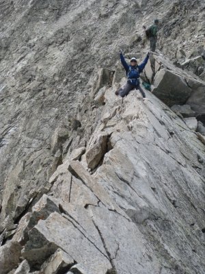
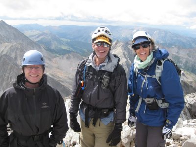 "1st on the Summit" Team, Photo Compliments of TerrI |
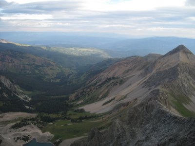
 Awesome Capitol Creek Drainage |
 Maietta Begining Her Descent Across the "Knife Edge" |
 Brian Checking the "Knife Edge", K2 Summit (right of him) |
 Marietta Beginning Her Descent Across the "Knife Edge" |
 Marietta..."It's Easier the Second Time Across!" |
 Unknown Climber on the "Knife Edge"....."This video is for Mom!" |
 Pierre Lakes Basin, Maroon Bells (center, distant skyline) |
 Capitol Lake's Afternoon Turquoise Color.....Concern Grows About the Weather |
 Same Unknown Climber, Contouring K2 |
 Our Basecamp Just About Near Center of Photo, In Trees...Other Climber's Tents Visible on Knoll |
 Mt Daly (13,300'), Growing Cloud Cover |
 The West Snowmass Appoach, Moon Lake (right of center) |
 Mt Daly's (13,300') Talus Slope, and Darkening Clouds |
 Moon Lake (11,740'), (lower center) and W Snowmass Creek Approach |
 Deteriorating Weather |
 Capitol Lake, Viewed From the K2-Daly Saddle |
 Not a Time to Be on the Summit of Capitol (left, in the clouds) |
 Brian and Russ Descending Saddle, Sprinkles of Rain |
 Cool Rock Formation, Fallen Column |
 Crappy Rock |
 Looking W'ly Across Capitol Lake...Basecamp Soon |
 Early Morning Light on Neighboring Peaks Near Basecamp, Strong Winds Through the Night |
 Early Morning Light on Neighboring Peaks Near Basecamp, Strong Winds Through the Night |
 Not a Good Day to Climb Capitol's Cloud Shrouded Peak...Strong Winds |
 Good-Bye to Capitol |
 Russ, John, and Marietta at Cattle Gate |
 Capitol Creek Crossing |
 John, Marietta, and Russ |
 |
 Russ Hiking Along "Ditch Trail" |
 View of Capitol Peak (14,130'), and the Capitol Creek Drainage That Was Our Approach Route |
| previous page | pages 1 2 3 4 ALL | next page |
| comment | share |